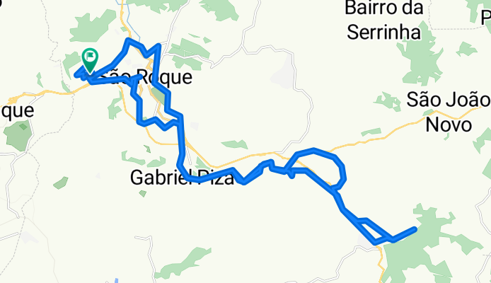
Pico da Lua
A cycling route starting in São Roque, São Paulo, Brazil.
Overview
About this route
- 6 h 18 min
- Duration
- 40.2 km
- Distance
- 785 m
- Ascent
- 778 m
- Descent
- 6.4 km/h
- Avg. speed
- 1,102 m
- Max. altitude
Route photos
Continue with Bikemap
Use, edit, or download this cycling route
You would like to ride Pico da Lua or customize it for your own trip? Here is what you can do with this Bikemap route:
Free features
- Save this route as favorite or in collections
- Copy & plan your own version of this route
- Sync your route with Garmin or Wahoo
Premium features
Free trial for 3 days, or one-time payment. More about Bikemap Premium.
- Navigate this route on iOS & Android
- Export a GPX / KML file of this route
- Create your custom printout (try it for free)
- Download this route for offline navigation
Discover more Premium features.
Get Bikemap PremiumFrom our community
Other popular routes starting in São Roque
- trip trail adventure são roque
- Distance
- 27.6 km
- Ascent
- 568 m
- Descent
- 576 m
- Location
- São Roque, São Paulo, Brazil
- Mata da Câmara
- Distance
- 4.6 km
- Ascent
- 300 m
- Descent
- 107 m
- Location
- São Roque, São Paulo, Brazil
- Rota Estrada do Vinho e Morro do Saboó
- Distance
- 59.8 km
- Ascent
- 675 m
- Descent
- 676 m
- Location
- São Roque, São Paulo, Brazil
- São Roque - Trilha do Tunel
- Distance
- 32.4 km
- Ascent
- 479 m
- Descent
- 478 m
- Location
- São Roque, São Paulo, Brazil
- Pico da Lua
- Distance
- 40.2 km
- Ascent
- 785 m
- Descent
- 778 m
- Location
- São Roque, São Paulo, Brazil
- Sao Roque
- Distance
- 34.8 km
- Ascent
- 311 m
- Descent
- 398 m
- Location
- São Roque, São Paulo, Brazil
- Trilha do Boiadeiro
- Distance
- 28 km
- Ascent
- 450 m
- Descent
- 446 m
- Location
- São Roque, São Paulo, Brazil
- São Roque - Trilha do Tunel
- Distance
- 32.4 km
- Ascent
- 486 m
- Descent
- 489 m
- Location
- São Roque, São Paulo, Brazil
Open it in the app