![Ph0]에서 경로삼향읍](/_next/static/media/contour-lines-light-small.cafd5e5d.avif)
![Ph0]에서 경로삼향읍](https://media.bikemap.net/routes/17051976/staticmaps/in_5348da2a-9e9a-410c-aca7-4657152d70dd_694x400_bikemap-2021-3D-static.png)
Ph0]에서 경로삼향읍
A cycling route starting in Mokpo, Jeollanam-do, South Korea.
Overview
About this route
- 2 h 34 min
- Duration
- 37.1 km
- Distance
- 75 m
- Ascent
- 100 m
- Descent
- 14.4 km/h
- Avg. speed
- 35 m
- Max. altitude
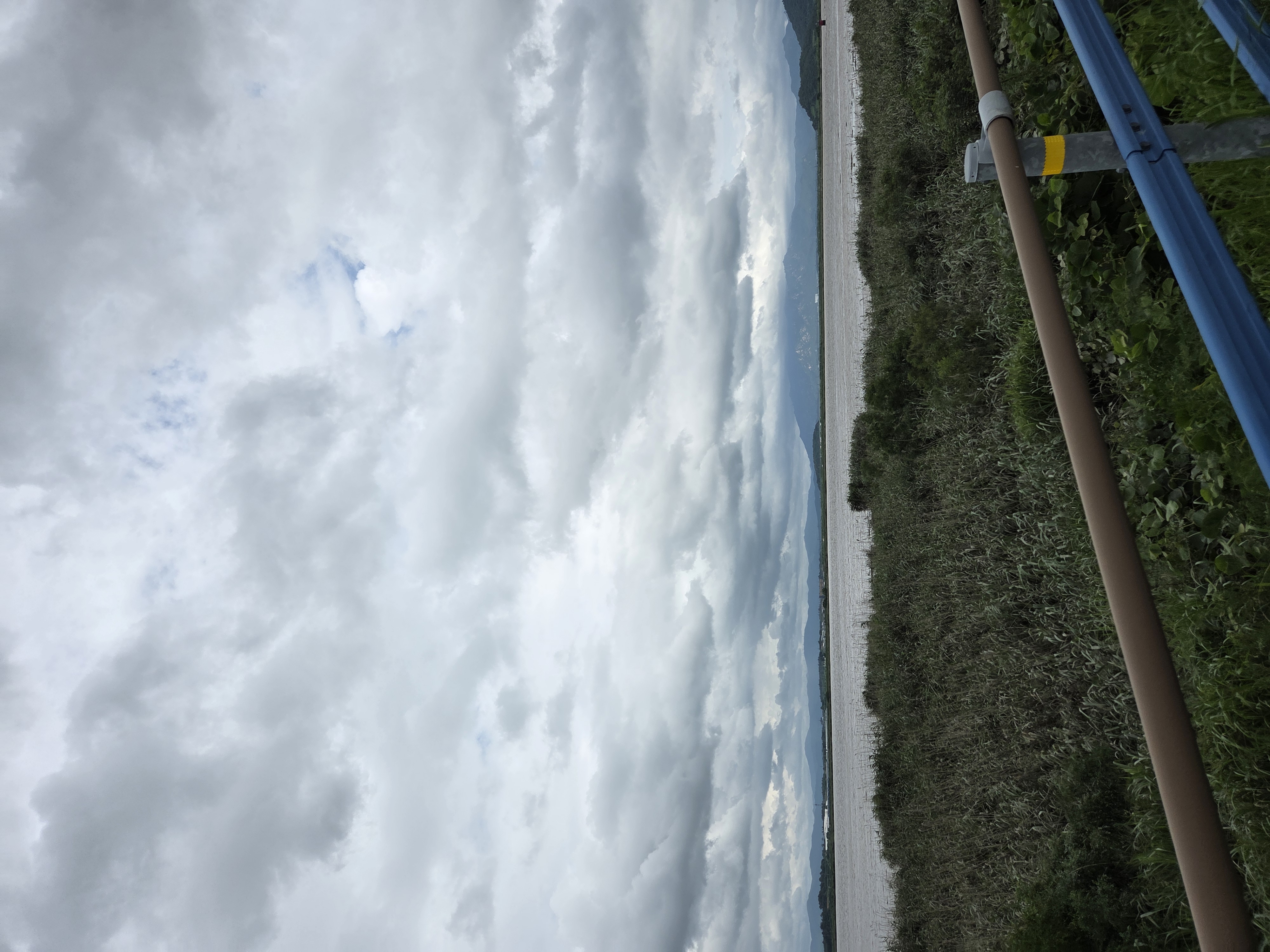
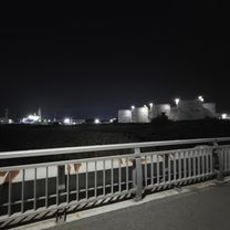
Route photos
![Photo 1 of the Bikemap route "Ph0]에서 경로삼향읍"](https://www.bikemap.net/media/temp/routes_gallery/60d48f6e-e669-46f6-9ac8-12b479cf7e01.jpg "Photo 1 of the Bikemap route \"Ph0]에서 경로삼향읍\"")
![Photo 2 of the Bikemap route "Ph0]에서 경로삼향읍"](https://www.bikemap.net/media/temp/routes_gallery/0a37a60f-81c8-4626-819a-d6e9627c649d.jpg "Photo 2 of the Bikemap route \"Ph0]에서 경로삼향읍\"")
Continue with Bikemap
Use, edit, or download this cycling route
You would like to ride Ph0]에서 경로삼향읍 or customize it for your own trip? Here is what you can do with this Bikemap route:
Free features
- Save this route as favorite or in collections
- Copy & plan your own version of this route
- Sync your route with Garmin or Wahoo
Premium features
Free trial for 3 days, or one-time payment. More about Bikemap Premium.
- Navigate this route on iOS & Android
- Export a GPX / KML file of this route
- Create your custom printout (try it for free)
- Download this route for offline navigation
Discover more Premium features.
Get Bikemap PremiumFrom our community
Other popular routes starting in Mokpo
 일로읍 705-1 ~ 삼향읍
- Distance
- 21.7 km
- Ascent
- 84 m
- Descent
- 82 m
- Location
- Mokpo, Jeollanam-do, South Korea
 삼향읍 ~ 옥암동
- Distance
- 19 km
- Ascent
- 23 m
- Descent
- 49 m
- Location
- Mokpo, Jeollanam-do, South Korea
 무안 나주
무안 나주- Distance
- 10.7 km
- Ascent
- 15 m
- Descent
- 14 m
- Location
- Mokpo, Jeollanam-do, South Korea
![Ph0]에서 경로삼향읍 125-7](https://www.bikemap.net/media/temp/routes_gallery/ebafe84e-3488-4ee4-b599-0e16cba74036.jpg) Ph0]에서 경로삼향읍 125-7
Ph0]에서 경로삼향읍 125-7- Distance
- 31.5 km
- Ascent
- 64 m
- Descent
- 89 m
- Location
- Mokpo, Jeollanam-do, South Korea
![삼향읍Ph0]으로 라우팅](https://media.bikemap.net/routes/17518486/gallery/thumbs/51ecde6f-f665-45f0-9f00-1d187c893c59.jpg.208x208_q80_crop.jpg) 삼향읍Ph0]으로 라우팅
삼향읍Ph0]으로 라우팅- Distance
- 15.9 km
- Ascent
- 5 m
- Descent
- 54 m
- Location
- Mokpo, Jeollanam-do, South Korea
 안정적인 라이딩
- Distance
- 10.6 km
- Ascent
- 4 m
- Descent
- 32 m
- Location
- Mokpo, Jeollanam-do, South Korea
 목포 ~ 영산강 ~ 유성
- Distance
- 304.6 km
- Ascent
- 2,031 m
- Descent
- 1,998 m
- Location
- Mokpo, Jeollanam-do, South Korea
![삼향읍Ph0]으로 라우팅](https://media.bikemap.net/routes/17462175/gallery/thumbs/44108268-7455-4d94-b9a5-8c8eed7977b9.jpg.208x208_q80_crop.jpg) 삼향읍Ph0]으로 라우팅
삼향읍Ph0]으로 라우팅- Distance
- 25.2 km
- Ascent
- 49 m
- Descent
- 85 m
- Location
- Mokpo, Jeollanam-do, South Korea
Open it in the app