
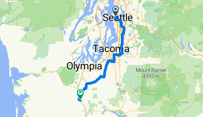
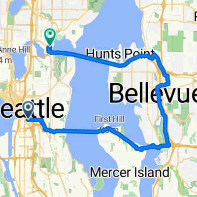
2025-7-12 Seattle to Chehalis - STP Day 1
A cycling route starting in Seattle, Washington, United States.
Overview
About this route
This was the first day of the 2025 annual Seattle to Portland Ride. As we had accommodations in Chehalis rather than in Centralia, we had to ride a little farther the first day.
Note that due to local policemen keeping an eye on things, the ride was mostly on major roads in some areas where there was some bike paths. For example, this ride did not use the Inter-Urban Trail at all. Someone following this route might want to use that trail for some period of time before moving to the West Valley Highway.
Also, while there was some climbing, the 1532M that this app has calculated seems like it's probably double the actual climbing.
- 9 h 42 min
- Duration
- 171.5 km
- Distance
- 1,532 m
- Ascent
- 1,564 m
- Descent
- 17.7 km/h
- Avg. speed
- 148 m
- Max. altitude

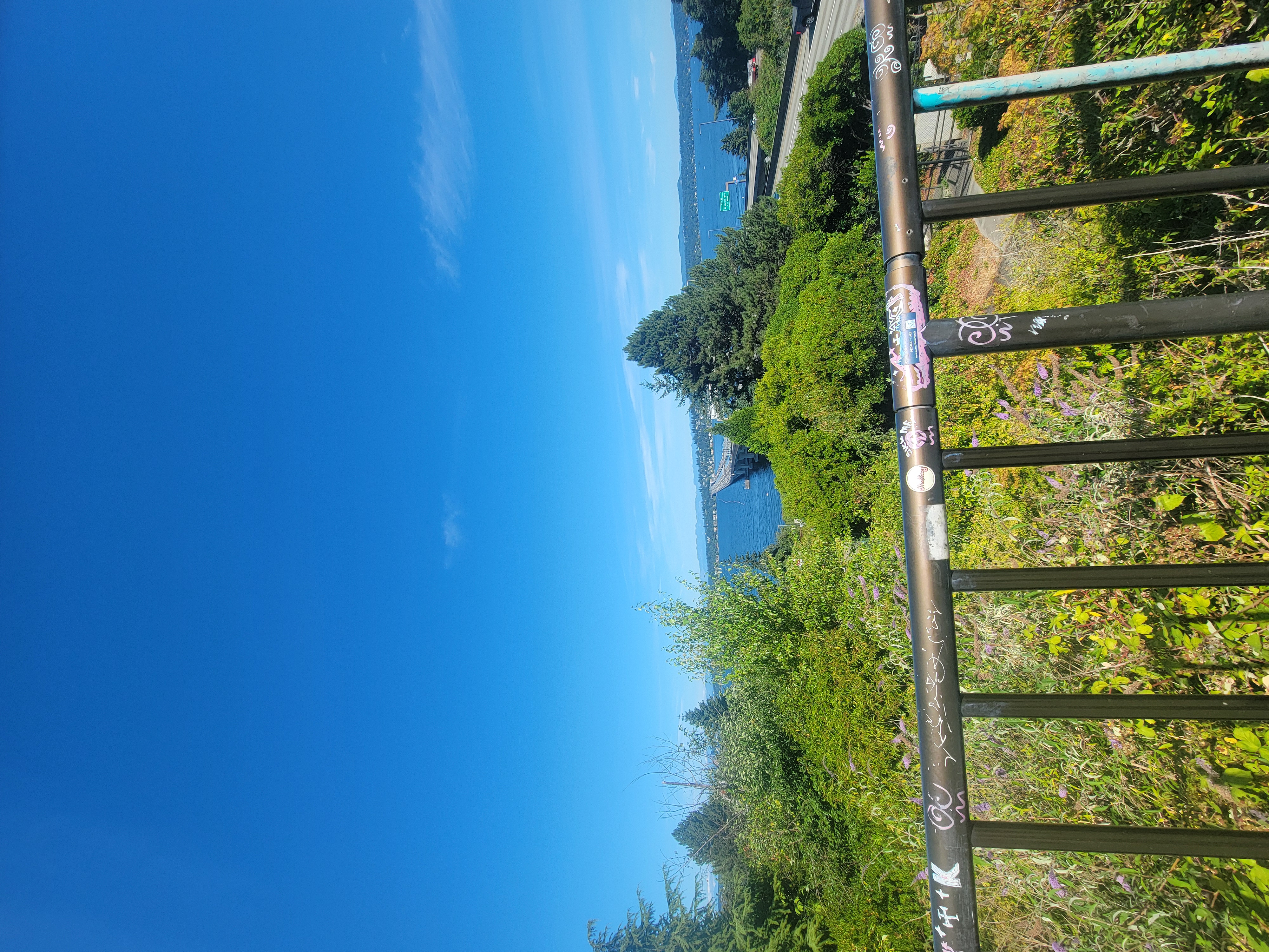
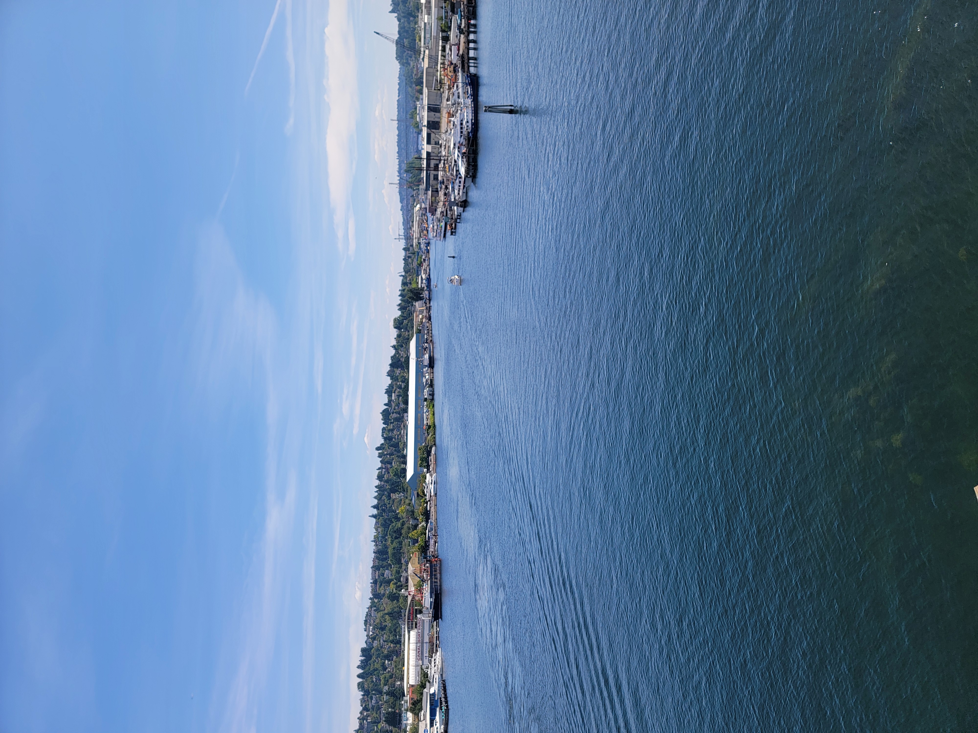
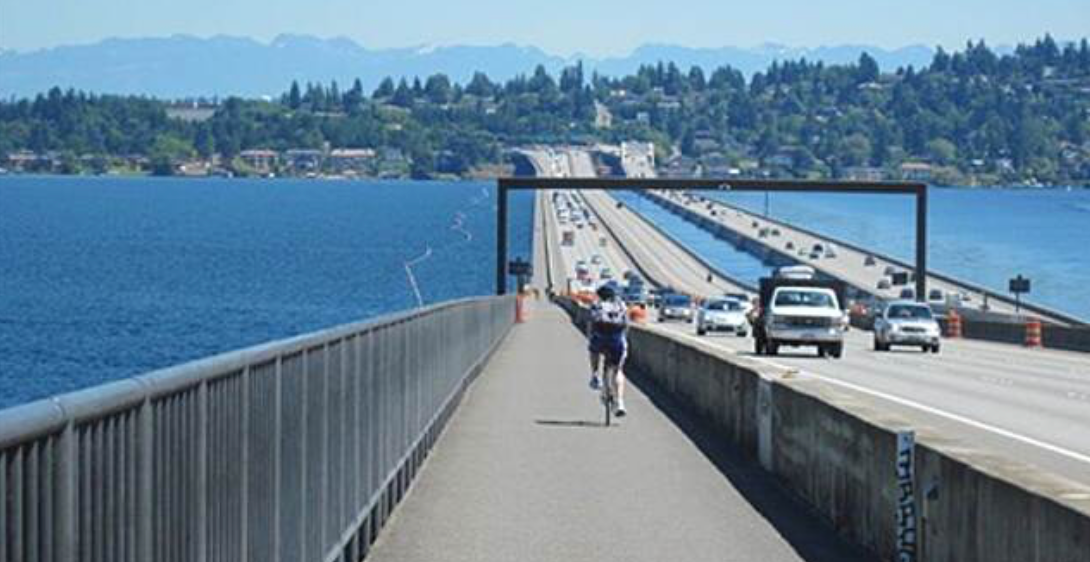
Route photos


Route quality
Waytypes & surfaces along the route
Waytypes
Road
3.4 km
(2 %)
Cycleway
3.4 km
(2 %)
Surfaces
Paved
3.4 km
(2 %)
Asphalt
3.4 km
(2 %)
Undefined
168.1 km
(98 %)
Continue with Bikemap
Use, edit, or download this cycling route
You would like to ride 2025-7-12 Seattle to Chehalis - STP Day 1 or customize it for your own trip? Here is what you can do with this Bikemap route:
Free features
- Save this route as favorite or in collections
- Copy & plan your own version of this route
- Split it into stages to create a multi-day tour
- Sync your route with Garmin or Wahoo
Premium features
Free trial for 3 days, or one-time payment. More about Bikemap Premium.
- Navigate this route on iOS & Android
- Export a GPX / KML file of this route
- Create your custom printout (try it for free)
- Download this route for offline navigation
Discover more Premium features.
Get Bikemap PremiumFrom our community
Other popular routes starting in Seattle
 Burke Gilman + Sammamish River
- Distance
- 37.6 km
- Ascent
- 55 m
- Descent
- 76 m
- Location
- Seattle, Washington, United States
 East Mercer Street to 14th Ave S & S Washington St
- Distance
- 15.3 km
- Ascent
- 156 m
- Descent
- 181 m
- Location
- Seattle, Washington, United States
 Route in Seattle
- Distance
- 8.8 km
- Ascent
- 147 m
- Descent
- 147 m
- Location
- Seattle, Washington, United States
 West Coast Parties Don't Stop
- Distance
- 2,482.3 km
- Ascent
- 2,143 m
- Descent
- 2,158 m
- Location
- Seattle, Washington, United States
 East Harrison Street to East Mercer Street
- Distance
- 21 km
- Ascent
- 271 m
- Descent
- 214 m
- Location
- Seattle, Washington, United States
 To Bellevue and Back
- Distance
- 15.8 km
- Ascent
- 265 m
- Descent
- 265 m
- Location
- Seattle, Washington, United States
 Seattle through Woodinville and Marymoor Park, around Lake Sammamish, and Return from Issaquah over Mercer Island
- Distance
- 95.7 km
- Ascent
- 874 m
- Descent
- 874 m
- Location
- Seattle, Washington, United States
 Chinatown to UW via Mercer
- Distance
- 32.1 km
- Ascent
- 357 m
- Descent
- 351 m
- Location
- Seattle, Washington, United States
Open it in the app