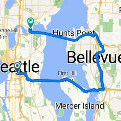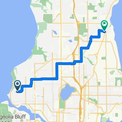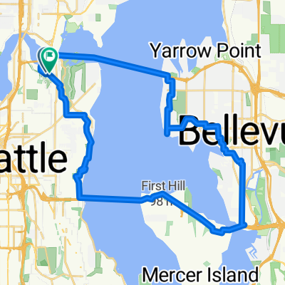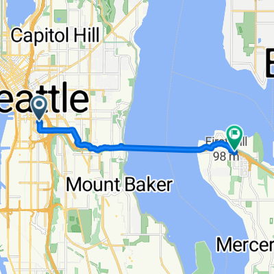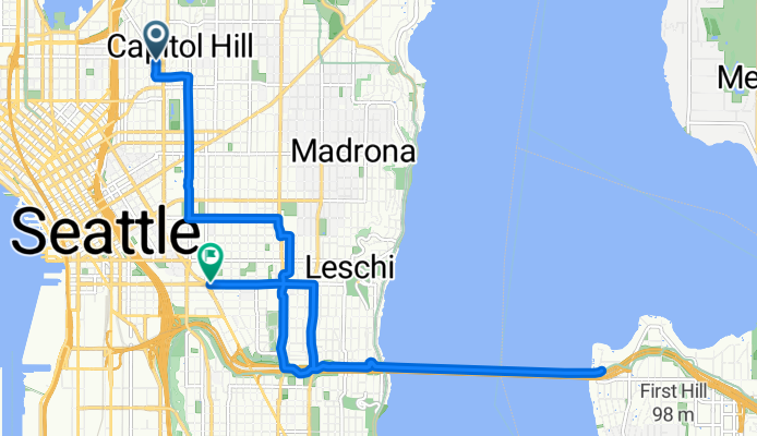

East Mercer Street to 14th Ave S & S Washington St
- 15.3 km
- 156 m
- 181 m
- Seattle, Washington, United States
A cycling route starting in Seattle, Washington, United States.
Overview
created this 5 months ago


Route quality
Cycleway
7.2 km
(47 %)
Road
2.8 km
(18 %)
Paved
14.6 km
(95 %)
Concrete
8.9 km
(58 %)
Asphalt
5.7 km
(37 %)
Undefined
0.8 km
(5 %)
Continue with Bikemap
You would like to ride East Mercer Street to 14th Ave S & S Washington St or customize it for your own trip? Here is what you can do with this Bikemap route:
Free trial for 3 days, or one-time payment. More about Bikemap Premium.
Discover more Premium features.
Get Bikemap PremiumFrom our community
Open it in the app