
Zum Chasseral-Gletscher
A cycling route starting in Biel/Bienne, Canton of Bern, Switzerland.
Overview
About this route
- 3 h 26 min
- Duration
- 57.2 km
- Distance
- 1,285 m
- Ascent
- 1,329 m
- Descent
- 16.7 km/h
- Avg. speed
- 1,385 m
- Max. altitude
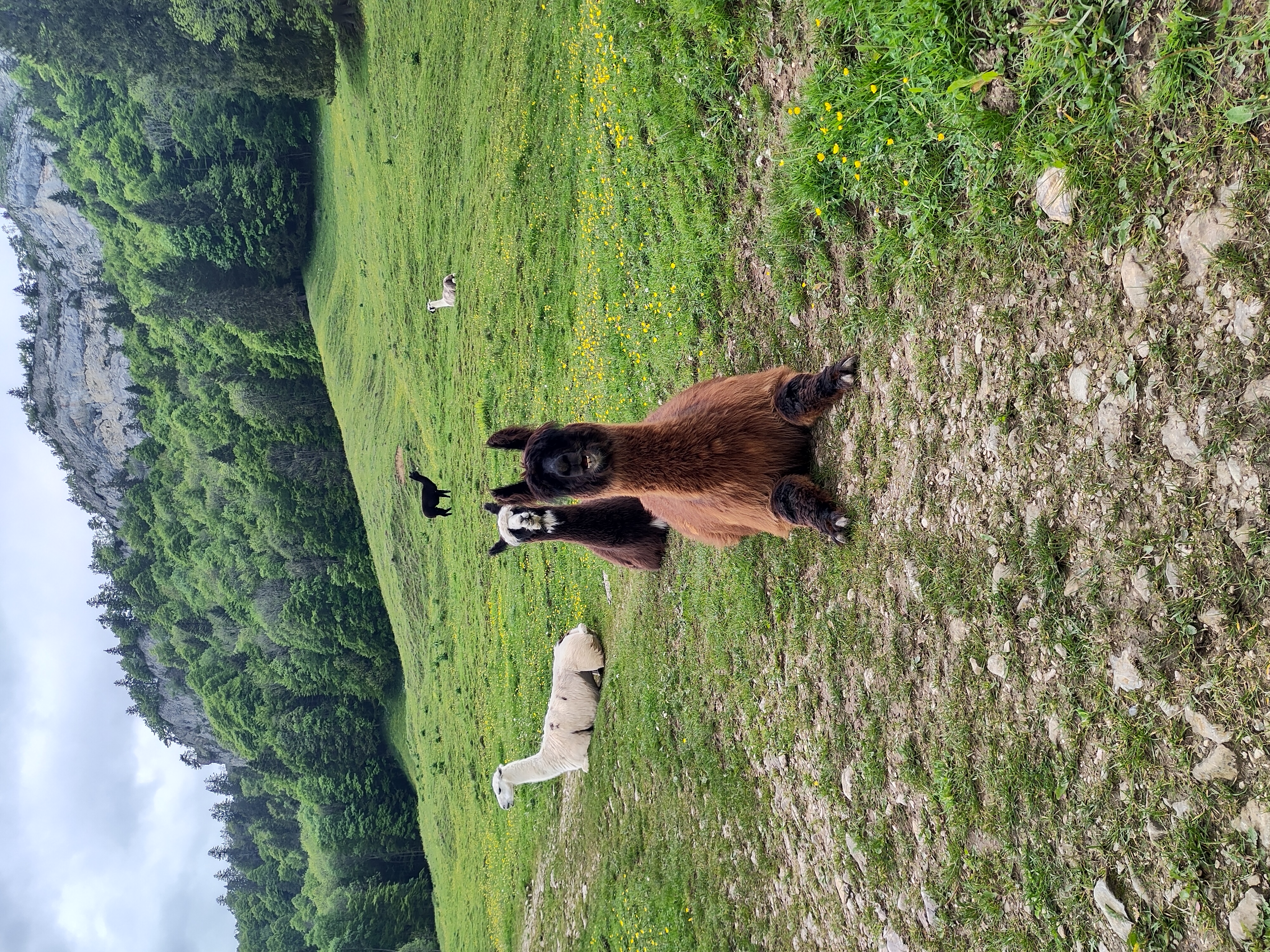
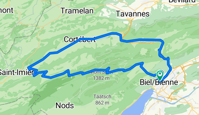
Route photos


Route quality
Waytypes & surfaces along the route
Waytypes
Quiet road
18.3 km
(32 %)
Track
9.2 km
(16 %)
Surfaces
Paved
33.8 km
(59 %)
Unpaved
7.4 km
(13 %)
Asphalt
32 km
(56 %)
Unpaved (undefined)
2.9 km
(5 %)
Continue with Bikemap
Use, edit, or download this cycling route
You would like to ride Zum Chasseral-Gletscher or customize it for your own trip? Here is what you can do with this Bikemap route:
Free features
- Save this route as favorite or in collections
- Copy & plan your own version of this route
- Sync your route with Garmin or Wahoo
Premium features
Free trial for 3 days, or one-time payment. More about Bikemap Premium.
- Navigate this route on iOS & Android
- Export a GPX / KML file of this route
- Create your custom printout (try it for free)
- Download this route for offline navigation
Discover more Premium features.
Get Bikemap PremiumFrom our community
Other popular routes starting in Biel/Bienne
- Zum Chasseral-Gletscher
- Distance
- 57.2 km
- Ascent
- 1,285 m
- Descent
- 1,329 m
- Location
- Biel/Bienne, Canton of Bern, Switzerland
 P-Biel/Bienne (25km)
- Distance
- 24.7 km
- Ascent
- 186 m
- Descent
- 187 m
- Location
- Biel/Bienne, Canton of Bern, Switzerland
 P-Biel/Bienne TRACK2 (16km)
- Distance
- 15.5 km
- Ascent
- 242 m
- Descent
- 244 m
- Location
- Biel/Bienne, Canton of Bern, Switzerland
 P-Biel/Bienne (31km)
- Distance
- 31.3 km
- Ascent
- 339 m
- Descent
- 340 m
- Location
- Biel/Bienne, Canton of Bern, Switzerland
 Bözingerbergschlaufe+
- Distance
- 41.9 km
- Ascent
- 1,162 m
- Descent
- 1,203 m
- Location
- Biel/Bienne, Canton of Bern, Switzerland
 P-Biel/Evilard/Orvin/Frinvillier (16km) v3 BEST
- Distance
- 15.8 km
- Ascent
- 442 m
- Descent
- 440 m
- Location
- Biel/Bienne, Canton of Bern, Switzerland
 P-Biel/Aarberg (57km)
- Distance
- 57.1 km
- Ascent
- 645 m
- Descent
- 643 m
- Location
- Biel/Bienne, Canton of Bern, Switzerland
 P-Biel/Aarberg/Oltigen (84km)
- Distance
- 84.1 km
- Ascent
- 740 m
- Descent
- 742 m
- Location
- Biel/Bienne, Canton of Bern, Switzerland
Open it in the app