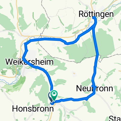
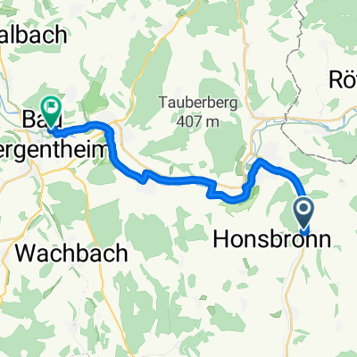
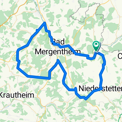
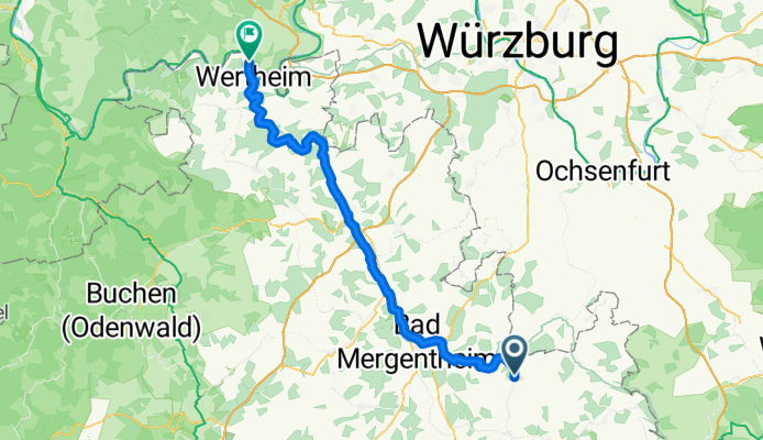
BA7 - Weikersheim - Wertheim
A cycling route starting in Weikersheim, Baden-Wurttemberg, Germany.
Overview
About this route
- 7 h 48 min
 - Duration
 - 67.9 km
 - Distance
 - 592 m
 - Ascent
 - 743 m
 - Descent
 - 8.7 km/h
 - Avg. speed
 - 305 m
 - Max. altitude
 
Route quality
Waytypes & surfaces along the route
Waytypes
Track
32.6 km
(48 %)
Quiet road
19 km
(28 %)
Surfaces
Paved
64.5 km
(95 %)
Asphalt
57.7 km
(85 %)
Paved (undefined)
6.8 km
(10 %)
Undefined
3.4 km
(5 %)
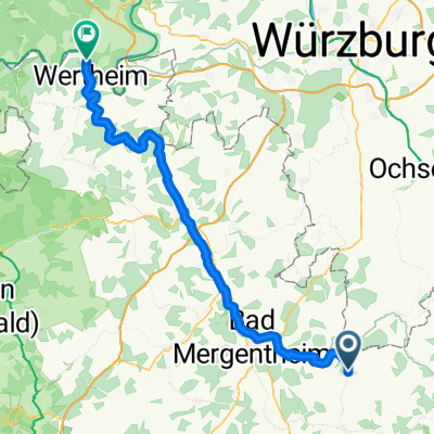
Continue with Bikemap
Use, edit, or download this cycling route
You would like to ride BA7 - Weikersheim - Wertheim or customize it for your own trip? Here is what you can do with this Bikemap route:
Free features
- Save this route as favorite or in collections
 - Copy & plan your own version of this route
 - Sync your route with Garmin or Wahoo
 
Premium features
Free trial for 3 days, or one-time payment. More about Bikemap Premium.
- Navigate this route on iOS & Android
 - Export a GPX / KML file of this route
 - Create your custom printout (try it for free)
 - Download this route for offline navigation
 
Discover more Premium features.
Get Bikemap PremiumFrom our community
Other popular routes starting in Weikersheim
Erlebnistour 12: Hohenloher Residenzenweg- Distance
 - 80.8 km
 - Ascent
 - 616 m
 - Descent
 - 619 m
 - Location
 - Weikersheim, Baden-Wurttemberg, Germany
 
- Weg zur Schwabenmühle naar Weg zur Schwabenmühle
- Distance
 - 22.2 km
 - Ascent
 - 394 m
 - Descent
 - 393 m
 - Location
 - Weikersheim, Baden-Wurttemberg, Germany
 
 
Weikersheim - Wertheim Bhf- Distance
 - 62.8 km
 - Ascent
 - 352 m
 - Descent
 - 448 m
 - Location
 - Weikersheim, Baden-Wurttemberg, Germany
 
xxxx- Distance
 - 5.5 km
 - Ascent
 - 32 m
 - Descent
 - 30 m
 - Location
 - Weikersheim, Baden-Wurttemberg, Germany
 
Weg zur Schwabenmühle naar Bachstraße- Distance
 - 21.6 km
 - Ascent
 - 313 m
 - Descent
 - 305 m
 - Location
 - Weikersheim, Baden-Wurttemberg, Germany
 
2010-Tag13(Teil2): Weikersheim-Tauberzell/Holdermühle- Distance
 - 25.2 km
 - Ascent
 - 174 m
 - Descent
 - 123 m
 - Location
 - Weikersheim, Baden-Wurttemberg, Germany
 
Route in Weikersheim- Distance
 - 84 km
 - Ascent
 - 1,055 m
 - Descent
 - 1,057 m
 - Location
 - Weikersheim, Baden-Wurttemberg, Germany
 
Weikersheim - Gaubahn- Distance
 - 71.4 km
 - Ascent
 - 329 m
 - Descent
 - 332 m
 - Location
 - Weikersheim, Baden-Wurttemberg, Germany
 
Open it in the app


