51.854, 10.157 nach 51.897, 10.184
- 130.7 km
- 1,383 m
- 1,175 m
- Seesen, Lower Saxony, Germany
A cycling route starting in Seesen, Lower Saxony, Germany.
Overview
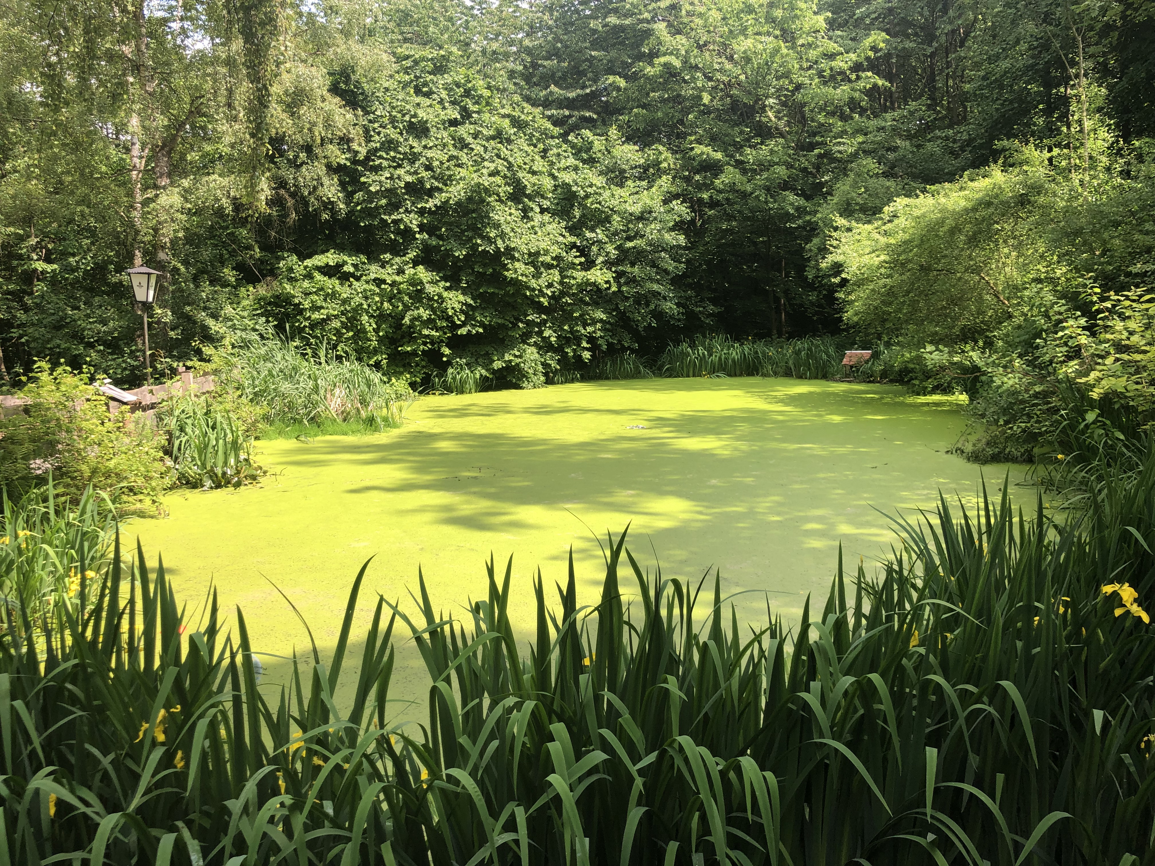
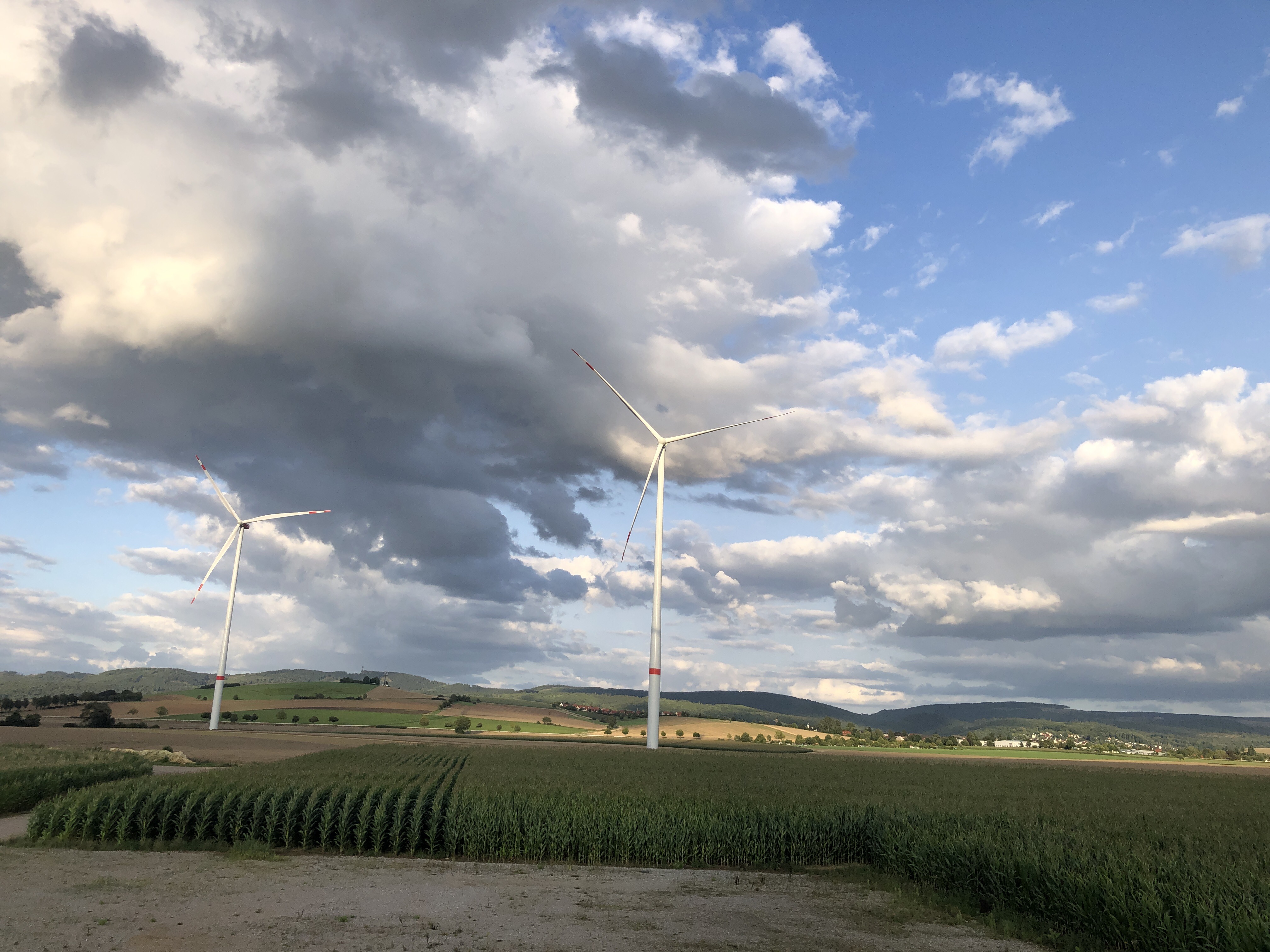
This is roughly one of my countless training routes through the Harz. On this route, it should be noted that the first part begins quite flat and partly runs along a federal road, which is not a problem since there is a very wide shoulder. The first highlight is then the Innerstestausee with a gigantic dam. After passing that, the interesting part of the route comes: the ascent to the Sternplatz. The Sternplatz is a parking area for hikers located at 500 m, where the ascent significantly engages certain muscles ;) The good thing about the ascent is that what you go up can be just as fun to go back down, which is really enjoyable. The downside is that on the descent there are very sharp turns at high speeds, so a strong load on the brakes and concentration is required, but it's still very fun ;)
created this 13 years ago
Continue with Bikemap
You would like to ride Sternplatz Überquerung or customize it for your own trip? Here is what you can do with this Bikemap route:
Free trial for 3 days, or one-time payment. More about Bikemap Premium.
Discover more Premium features.
Get Bikemap PremiumFrom our community
Open it in the app