
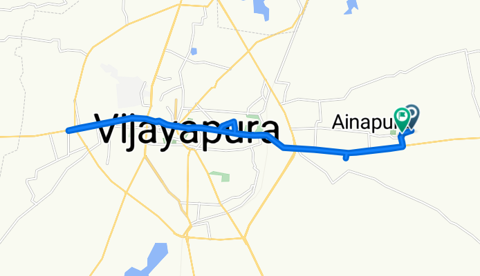
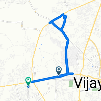
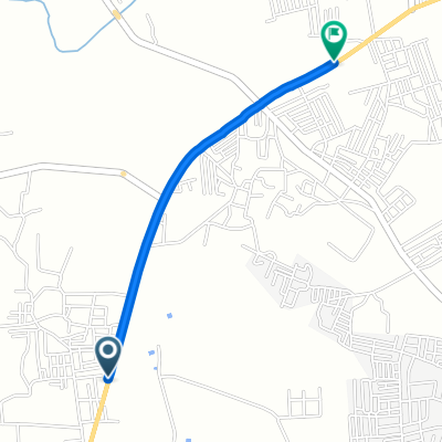
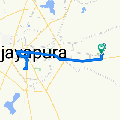
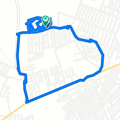
Unnamed Road to RQGH+WF
A cycling route starting in Bijapur, Karnataka, India.
Overview
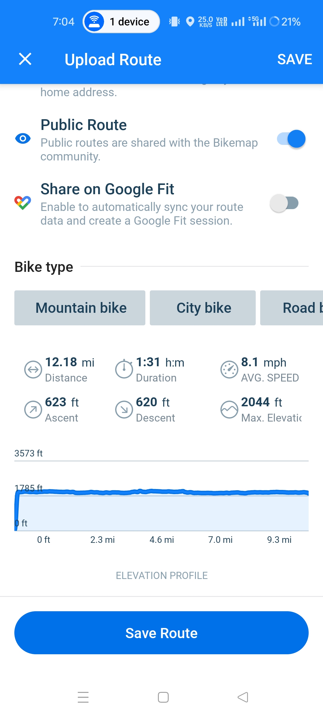
About this route
- 1 h 58 min
- Duration
- 23 km
- Distance
- 376 m
- Ascent
- 711 m
- Descent
- 11.7 km/h
- Avg. speed
- 930 m
- Max. altitude
Route photos


Continue with Bikemap
Use, edit, or download this cycling route
You would like to ride Unnamed Road to RQGH+WF or customize it for your own trip? Here is what you can do with this Bikemap route:
Free features
- Save this route as favorite or in collections
- Copy & plan your own version of this route
- Sync your route with Garmin or Wahoo
Premium features
Free trial for 3 days, or one-time payment. More about Bikemap Premium.
- Navigate this route on iOS & Android
- Export a GPX / KML file of this route
- Create your custom printout (try it for free)
- Download this route for offline navigation
Discover more Premium features.
Get Bikemap PremiumFrom our community
Other popular routes starting in Bijapur
 RMHV+VXV to RMGM+CH5
- Distance
- 11.2 km
- Ascent
- 223 m
- Descent
- 139 m
- Location
- Bijapur, Karnataka, India
 Afzalpur Takke Road to Ring Road
- Distance
- 2.4 km
- Ascent
- 65 m
- Descent
- 23 m
- Location
- Bijapur, Karnataka, India
 RQGH+4JR to RQGH+WF
- Distance
- 19.6 km
- Ascent
- 203 m
- Descent
- 202 m
- Location
- Bijapur, Karnataka, India
 Gulbarga - Bijapur Road to Mahatma Gandhi Road
- Distance
- 7.9 km
- Ascent
- 57 m
- Descent
- 67 m
- Location
- Bijapur, Karnataka, India
 RMC2+G7R, Toravi to RMC2+G7R, Toravi
- Distance
- 0.2 km
- Ascent
- 6 m
- Descent
- 0 m
- Location
- Bijapur, Karnataka, India
 Unnamed Road, Vijayapura to Unnamed Road, Vijayapura
- Distance
- 7 km
- Ascent
- 39 m
- Descent
- 41 m
- Location
- Bijapur, Karnataka, India
 RQGH+4JR to RQGH+WF
- Distance
- 19.9 km
- Ascent
- 167 m
- Descent
- 164 m
- Location
- Bijapur, Karnataka, India
 Unnamed Road, Vijayapura to Unnamed Road
- Distance
- 1.8 km
- Ascent
- 14 m
- Descent
- 19 m
- Location
- Bijapur, Karnataka, India
Open it in the app