
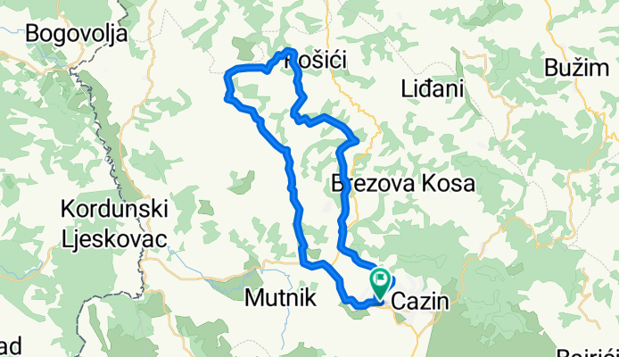
Cazin - Hadžići - Banda - Liskovac - Cazin
A cycling route starting in Cazin, Federation of Bosnia and Herzegovina, Bosnia and Herzegovina.
Overview
About this route
- 1 h 49 min
- Duration
- 36.5 km
- Distance
- 695 m
- Ascent
- 698 m
- Descent
- 20.1 km/h
- Avg. speed
- 502 m
- Max. altitude
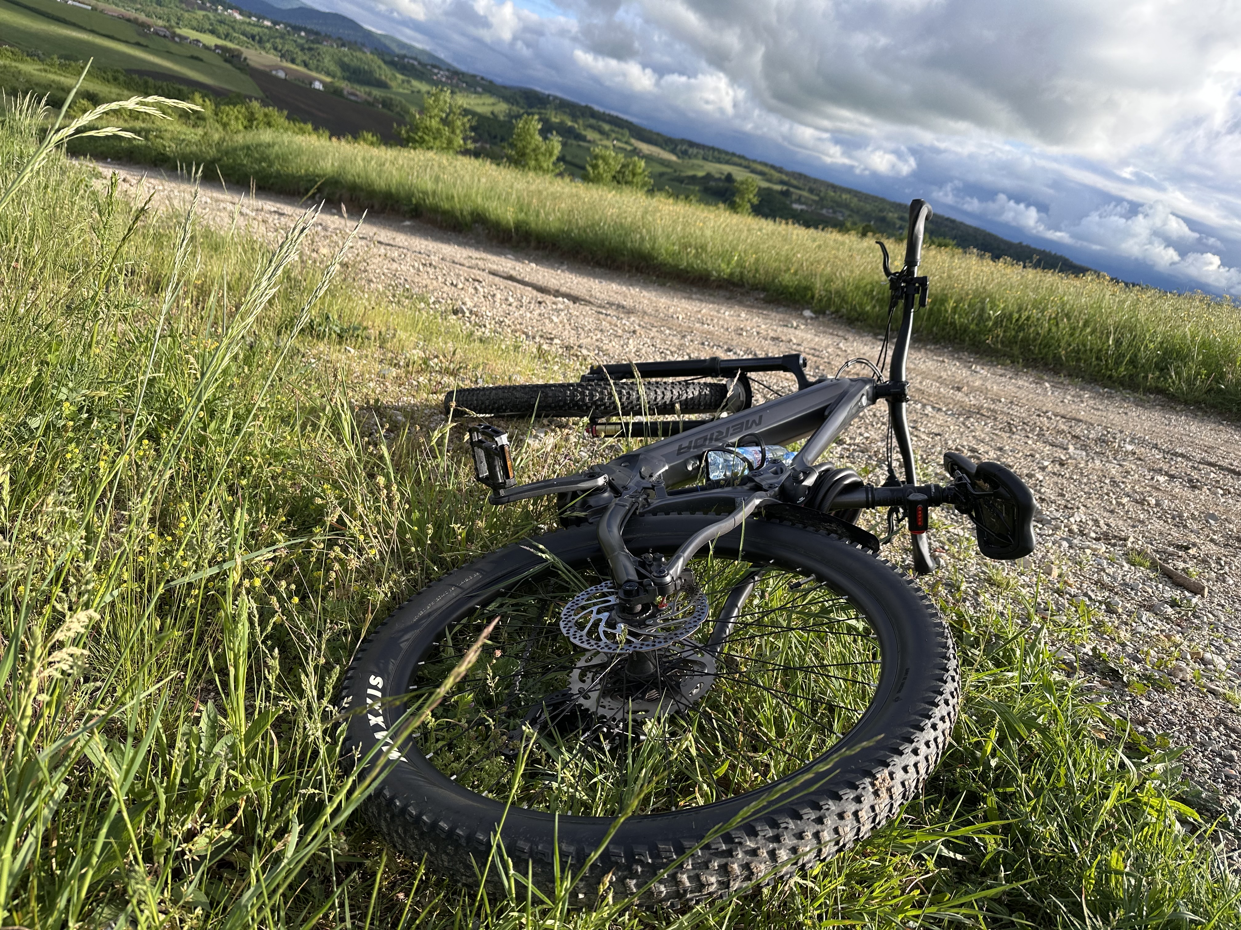
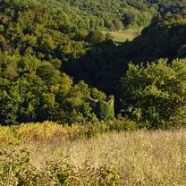
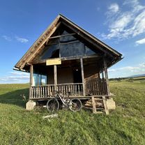
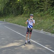
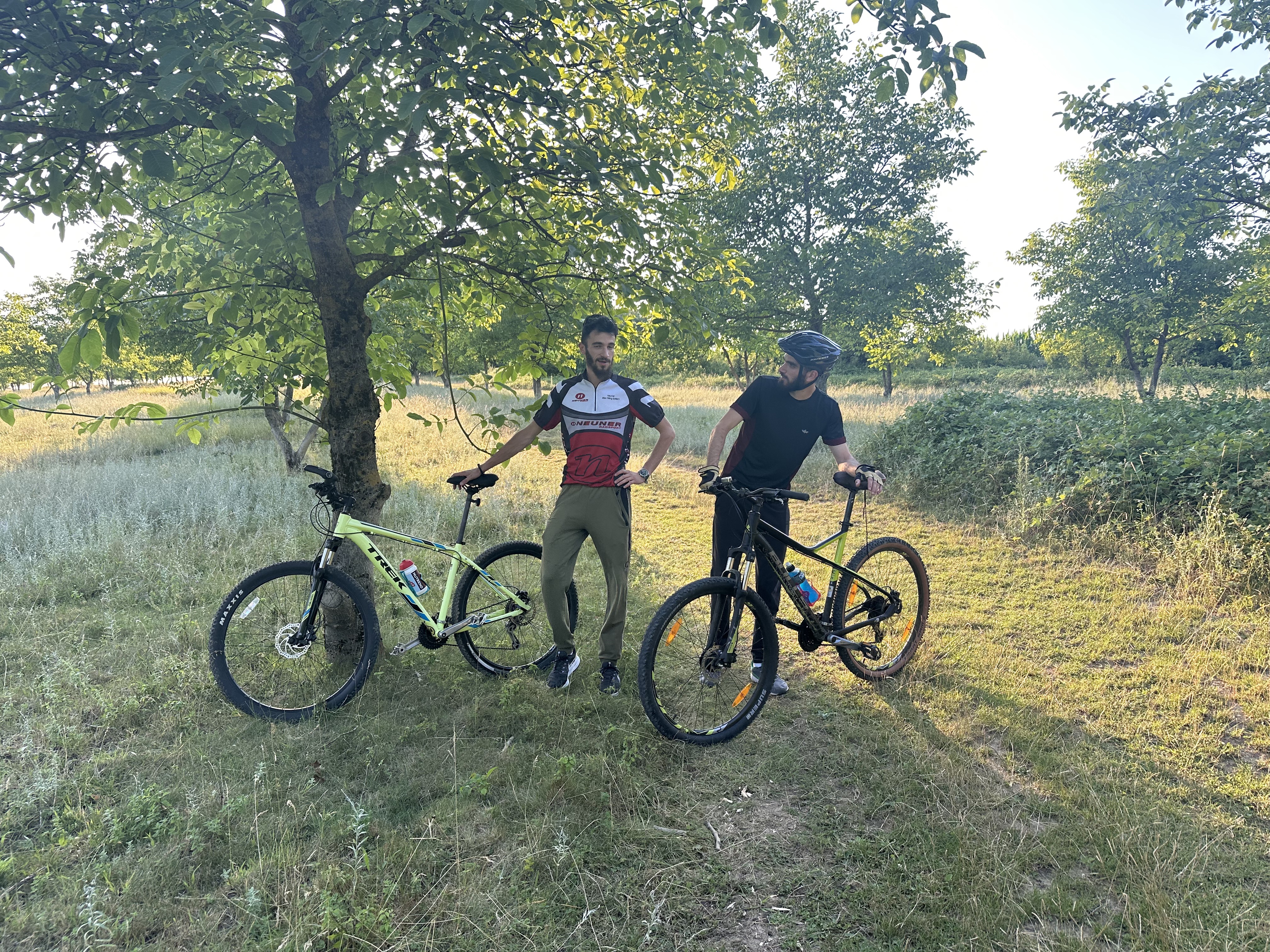
Route photos


Route quality
Waytypes & surfaces along the route
Waytypes
Quiet road
31 km
(85 %)
Road
1.1 km
(3 %)
Surfaces
Paved
13.9 km
(38 %)
Unpaved
1.5 km
(4 %)
Asphalt
13.9 km
(38 %)
Unpaved (undefined)
1.5 km
(4 %)
Undefined
21.2 km
(58 %)
Continue with Bikemap
Use, edit, or download this cycling route
You would like to ride Cazin - Hadžići - Banda - Liskovac - Cazin or customize it for your own trip? Here is what you can do with this Bikemap route:
Free features
- Save this route as favorite or in collections
- Copy & plan your own version of this route
- Sync your route with Garmin or Wahoo
Premium features
Free trial for 3 days, or one-time payment. More about Bikemap Premium.
- Navigate this route on iOS & Android
- Export a GPX / KML file of this route
- Create your custom printout (try it for free)
- Download this route for offline navigation
Discover more Premium features.
Get Bikemap PremiumFrom our community
Other popular routes starting in Cazin
 Kula Radetina
- Distance
- 7.9 km
- Ascent
- 174 m
- Descent
- 91 m
- Location
- Cazin, Federation of Bosnia and Herzegovina, Bosnia and Herzegovina
 Opasna ruta
- Distance
- 72.1 km
- Ascent
- 1,321 m
- Descent
- 1,317 m
- Location
- Cazin, Federation of Bosnia and Herzegovina, Bosnia and Herzegovina
 početnička
- Distance
- 27.9 km
- Ascent
- 363 m
- Descent
- 418 m
- Location
- Cazin, Federation of Bosnia and Herzegovina, Bosnia and Herzegovina
 Stetige Fahrt
- Distance
- 52.2 km
- Ascent
- 671 m
- Descent
- 716 m
- Location
- Cazin, Federation of Bosnia and Herzegovina, Bosnia and Herzegovina
 Moderate Route
- Distance
- 45.4 km
- Ascent
- 577 m
- Descent
- 623 m
- Location
- Cazin, Federation of Bosnia and Herzegovina, Bosnia and Herzegovina
 mix cik - cak
- Distance
- 22 km
- Ascent
- 389 m
- Descent
- 392 m
- Location
- Cazin, Federation of Bosnia and Herzegovina, Bosnia and Herzegovina
 Cazin - Una - Sedra - Dobrenica - Prošići - Cazin
- Distance
- 30 km
- Ascent
- 570 m
- Descent
- 566 m
- Location
- Cazin, Federation of Bosnia and Herzegovina, Bosnia and Herzegovina
 Gemütliche Fahrt
- Distance
- 53.2 km
- Ascent
- 588 m
- Descent
- 638 m
- Location
- Cazin, Federation of Bosnia and Herzegovina, Bosnia and Herzegovina
Open it in the app