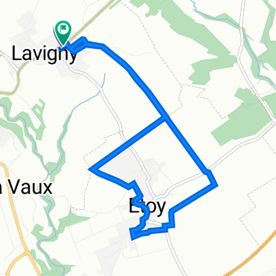
Col du Marchairuz
A cycling route starting in Aubonne, Canton of Vaud, Switzerland.
Overview
About this route
<div id="description" class="description"> <div id="description_short_full"> Both sides of Marchairuz while watching the Tour de Romandie <div class="dummy">.</div> </div> </div>
- -:--
- Duration
- 55.5 km
- Distance
- 1,518 m
- Ascent
- 1,478 m
- Descent
- ---
- Avg. speed
- 1,449 m
- Avg. speed
Route quality
Waytypes & surfaces along the route
Waytypes
Road
45.9 km
(83 %)
Busy road
4.9 km
(9 %)
Surfaces
Paved
8.4 km
(15 %)
Unpaved
0.6 km
(1 %)
Asphalt
8.4 km
(15 %)
Unpaved (undefined)
0.4 km
(<1 %)
Continue with Bikemap
Use, edit, or download this cycling route
You would like to ride Col du Marchairuz or customize it for your own trip? Here is what you can do with this Bikemap route:
Free features
- Save this route as favorite or in collections
- Copy & plan your own version of this route
- Sync your route with Garmin or Wahoo
Premium features
Free trial for 3 days, or one-time payment. More about Bikemap Premium.
- Navigate this route on iOS & Android
- Export a GPX / KML file of this route
- Create your custom printout (try it for free)
- Download this route for offline navigation
Discover more Premium features.
Get Bikemap PremiumFrom our community
Other popular routes starting in Aubonne
- Tour Velo Perfection
- Distance
- 114.7 km
- Ascent
- 1,789 m
- Descent
- 1,788 m
- Location
- Aubonne, Canton of Vaud, Switzerland
- Velo Perfection 2
- Distance
- 83.8 km
- Ascent
- 1,389 m
- Descent
- 1,389 m
- Location
- Aubonne, Canton of Vaud, Switzerland
- Aux alentours du Mollendruz
- Distance
- 98.5 km
- Ascent
- 2,277 m
- Descent
- 2,280 m
- Location
- Aubonne, Canton of Vaud, Switzerland
- Savavigny - Morges // E-Tandem
- Distance
- 14.5 km
- Ascent
- 150 m
- Descent
- 265 m
- Location
- Aubonne, Canton of Vaud, Switzerland
- Aubonne - St-Georges - St-Cergue - Barillette
- Distance
- 107.2 km
- Ascent
- 2,282 m
- Descent
- 2,295 m
- Location
- Aubonne, Canton of Vaud, Switzerland
- Sortie CPR 18.5.2019, parcours 2
- Distance
- 68 km
- Ascent
- 1,402 m
- Descent
- 1,385 m
- Location
- Aubonne, Canton of Vaud, Switzerland
- Aubonne boucle par Arboretum
- Distance
- 15.4 km
- Ascent
- 340 m
- Descent
- 341 m
- Location
- Aubonne, Canton of Vaud, Switzerland
- Lavigny-Vertou
- Distance
- 9.4 km
- Ascent
- 0 m
- Descent
- 9 m
- Location
- Aubonne, Canton of Vaud, Switzerland
Open it in the app