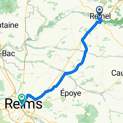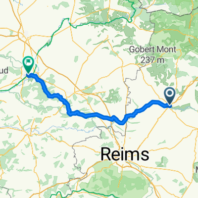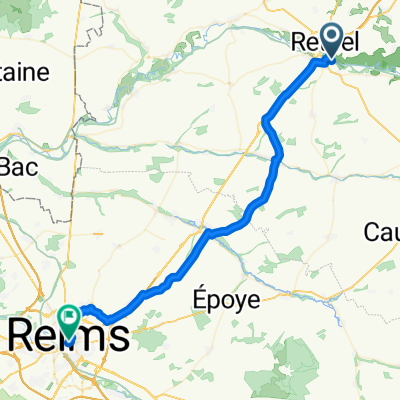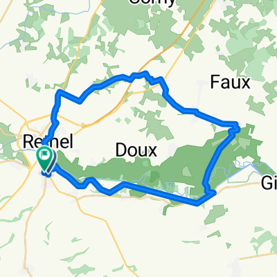
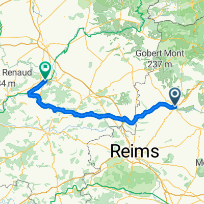
Rethel Tergnier 2
- 128.8 km
- 690 m
- 717 m
- Sault-lès-Rethel, Grand Est, France
A cycling route starting in Sault-lès-Rethel, Grand Est, France.
Overview
created this 4 months ago
Route quality
Road
33.4 km
(30 %)
Quiet road
22.3 km
(20 %)
Paved
31.2 km
(28 %)
Unpaved
17.8 km
(16 %)
Asphalt
27.9 km
(25 %)
Gravel
5.6 km
(5 %)
Continue with Bikemap
You would like to ride Rue Louis Hachette, Rethel à Rue Marquette, Tergnier or customize it for your own trip? Here is what you can do with this Bikemap route:
Free trial for 3 days, or one-time payment. More about Bikemap Premium.
Discover more Premium features.
Get Bikemap PremiumFrom our community
Open it in the app