
magognino gordola
- 65 km
- 963 m
- 1,192 m
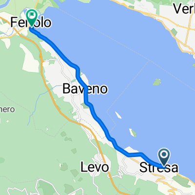
- Stresa, Piedmont, Italy
A cycling route starting in Stresa, Piedmont, Italy.
Overview
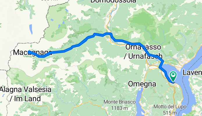
The finish of Stage 19 of the 2011 Giro ‘Italia the journey to Macugnaga is a truly spectacular ride up the Anzasca Valley.
On top of the mountain valley, whose name comes from the river Anza which runs there, is the second highest mountain in the Alps and in western Europe: the imposing Mount Rosa, 4,638m high.
Mount Rosa overlooks the untouched village of Macugnaga that was colonized in the 13th century by the Walser people..
EDGE 1030 PLUS ASIA®
created this 9 months ago


Route quality
Quiet road
9.7 km
8 %
Access road
3.6 km
3 %
Paved
116.2 km
(96 %)
Unpaved
1.2 km
(1 %)
Asphalt
116.2 km
96 %
Unpaved (undefined)
1.2 km
1 %
Undefined
3.6 km
3 %
Continue with Bikemap
You would like to ride Stresa - Macugnaga or customize it for your own trip? Here is what you can do with this Bikemap route:
Free trial for 3 days, or one-time payment. More about Bikemap Premium.
Discover more Premium features.
Get Bikemap PremiumFrom our community
Open it in the app