
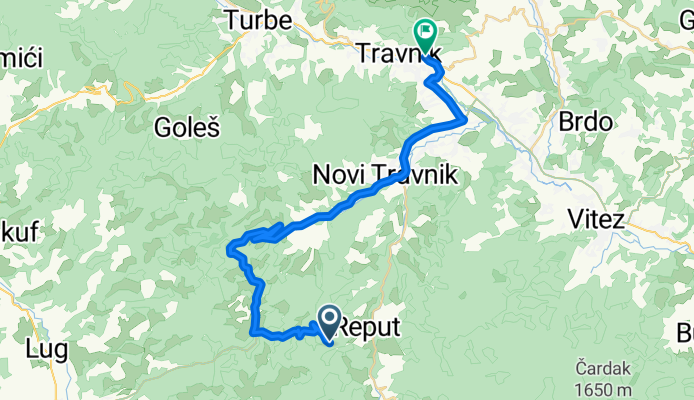
Novi Travnik to Spalatobahn, Travnik
A cycling route starting in Novi Travnik, Federation of Bosnia and Herzegovina, Bosnia and Herzegovina.
Overview
About this route
- 1 h 35 min
- Duration
- 34.5 km
- Distance
- 402 m
- Ascent
- 789 m
- Descent
- 21.8 km/h
- Avg. speed
- 1,125 m
- Max. altitude

Route quality
Waytypes & surfaces along the route
Waytypes
Quiet road
9.7 km
(28 %)
Access road
0.3 km
(1 %)
Undefined
24.5 km
(71 %)
Surfaces
Paved
34.2 km
(99 %)
Asphalt
28.3 km
(82 %)
Paved (undefined)
5.9 km
(17 %)
Undefined
0.3 km
(1 %)
Continue with Bikemap
Use, edit, or download this cycling route
You would like to ride Novi Travnik to Spalatobahn, Travnik or customize it for your own trip? Here is what you can do with this Bikemap route:
Free features
- Save this route as favorite or in collections
- Copy & plan your own version of this route
- Sync your route with Garmin or Wahoo
Premium features
Free trial for 3 days, or one-time payment. More about Bikemap Premium.
- Navigate this route on iOS & Android
- Export a GPX / KML file of this route
- Create your custom printout (try it for free)
- Download this route for offline navigation
Discover more Premium features.
Get Bikemap PremiumFrom our community
Other popular routes starting in Novi Travnik
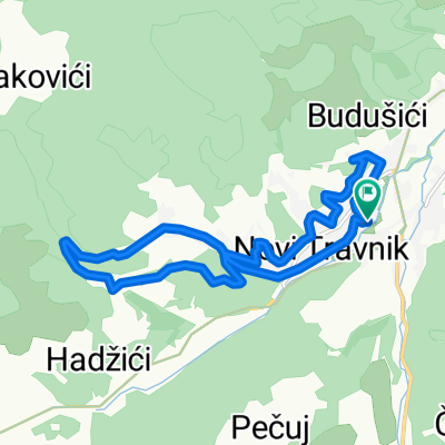 Uzduž i poprijeko NT
- Distance
- 13 km
- Ascent
- 282 m
- Descent
- 284 m
- Location
- Novi Travnik, Federation of Bosnia and Herzegovina, Bosnia and Herzegovina
 Snail-like route in
- Distance
- 8.1 km
- Ascent
- 247 m
- Descent
- 175 m
- Location
- Novi Travnik, Federation of Bosnia and Herzegovina, Bosnia and Herzegovina
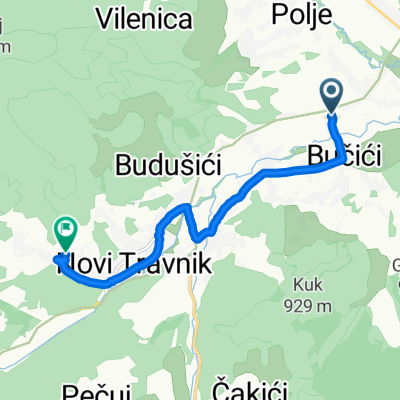
 M16.4 to Ive Andrića 1a, Novi Travnik
- Distance
- 30 km
- Ascent
- 333 m
- Descent
- 343 m
- Location
- Novi Travnik, Federation of Bosnia and Herzegovina, Bosnia and Herzegovina
 travnik
- Distance
- 28 km
- Ascent
- 1,105 m
- Descent
- 1,594 m
- Location
- Novi Travnik, Federation of Bosnia and Herzegovina, Bosnia and Herzegovina
 Novi Travnik naar Spomen-park Vraca, Sarajevo
- Distance
- 100.2 km
- Ascent
- 1,617 m
- Descent
- 1,499 m
- Location
- Novi Travnik, Federation of Bosnia and Herzegovina, Bosnia and Herzegovina
 rekreativna staza
- Distance
- 19.3 km
- Ascent
- 167 m
- Descent
- 172 m
- Location
- Novi Travnik, Federation of Bosnia and Herzegovina, Bosnia and Herzegovina
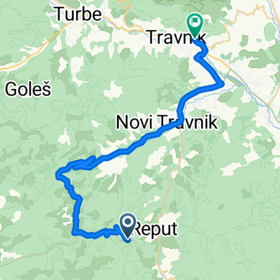
 Novi Travnik to Novi Travnik
- Distance
- 36.7 km
- Ascent
- 630 m
- Descent
- 663 m
- Location
- Novi Travnik, Federation of Bosnia and Herzegovina, Bosnia and Herzegovina
 Novi Travnik to Spalatobahn, Travnik
- Distance
- 34.5 km
- Ascent
- 402 m
- Descent
- 789 m
- Location
- Novi Travnik, Federation of Bosnia and Herzegovina, Bosnia and Herzegovina
Open it in the app