
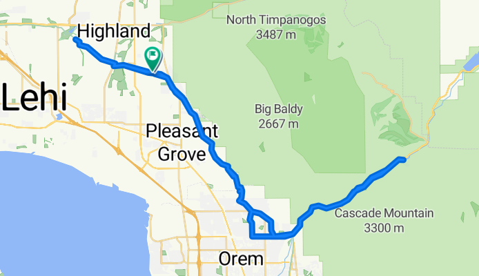
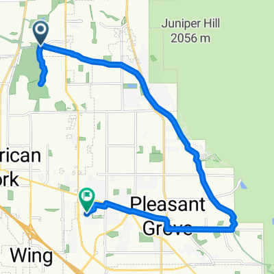
Harvey Boulevard to Harvey Boulevard
A cycling route starting in Cedar Hills, Utah, United States.
Overview
About this route
- 3 h 47 min
- Duration
- 64.4 km
- Distance
- 231 m
- Ascent
- 214 m
- Descent
- 17 km/h
- Avg. speed
- 1,594 m
- Max. altitude

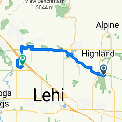
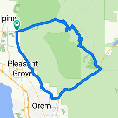
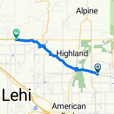
Route photos


Route quality
Waytypes & surfaces along the route
Waytypes
Cycleway
54.8 km
(85 %)
Quiet road
3.9 km
(6 %)
Surfaces
Paved
63.8 km
(99 %)
Asphalt
60.6 km
(94 %)
Concrete
3.2 km
(5 %)
Undefined
0.6 km
(1 %)
Continue with Bikemap
Use, edit, or download this cycling route
You would like to ride Harvey Boulevard to Harvey Boulevard or customize it for your own trip? Here is what you can do with this Bikemap route:
Free features
- Save this route as favorite or in collections
- Copy & plan your own version of this route
- Sync your route with Garmin or Wahoo
Premium features
Free trial for 3 days, or one-time payment. More about Bikemap Premium.
- Navigate this route on iOS & Android
- Export a GPX / KML file of this route
- Create your custom printout (try it for free)
- Download this route for offline navigation
Discover more Premium features.
Get Bikemap PremiumFrom our community
Other popular routes starting in Cedar Hills
 1420–1498 N 1000 E St, American Fork to 251 River Park Dr, Provo
- Distance
- 17.9 km
- Ascent
- 77 m
- Descent
- 90 m
- Location
- Cedar Hills, Utah, United States
 Art Dye, American Fork to N Pointe Meadow Loop, Lehi
- Distance
- 15.6 km
- Ascent
- 105 m
- Descent
- 178 m
- Location
- Cedar Hills, Utah, United States
 1032 E 1060 N St, American Fork to 6828 E Southfork Rd, Springville
- Distance
- 27.1 km
- Ascent
- 297 m
- Descent
- 166 m
- Location
- Cedar Hills, Utah, United States
 Alpine Loop
- Distance
- 61.5 km
- Ascent
- 1,179 m
- Descent
- 1,183 m
- Location
- Cedar Hills, Utah, United States
 10478 N Morgan Blvd, Cedar Hills to 8841 N Alpine Loop Rd, Sundance
- Distance
- 33.3 km
- Ascent
- 640 m
- Descent
- 366 m
- Location
- Cedar Hills, Utah, United States
 Murdock Canal Trail, Pleasant Grove to 9536 N 900 W, Cedar Hills
- Distance
- 7.4 km
- Ascent
- 37 m
- Descent
- 32 m
- Location
- Cedar Hills, Utah, United States
 Murdock Canal Trail, Cedar Hills to Murdock Canal Trail, Lehi
- Distance
- 8.9 km
- Ascent
- 57 m
- Descent
- 63 m
- Location
- Cedar Hills, Utah, United States
 North Meadow Lane 9816, Highland to South 1800 West 65, Pleasant Grove
- Distance
- 16.6 km
- Ascent
- 86 m
- Descent
- 163 m
- Location
- Cedar Hills, Utah, United States
Open it in the app