
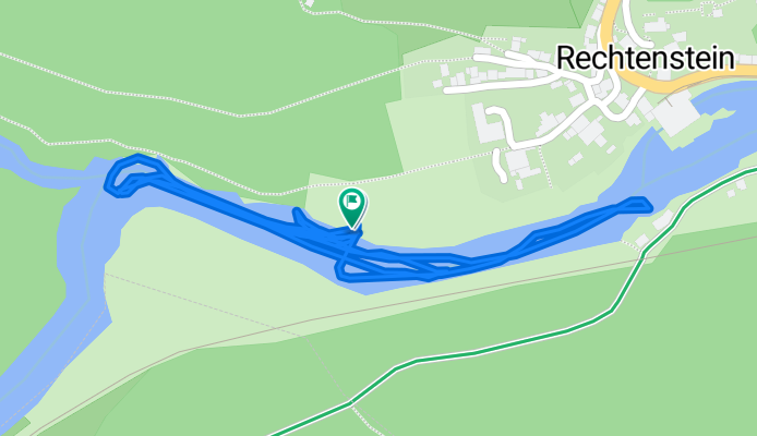
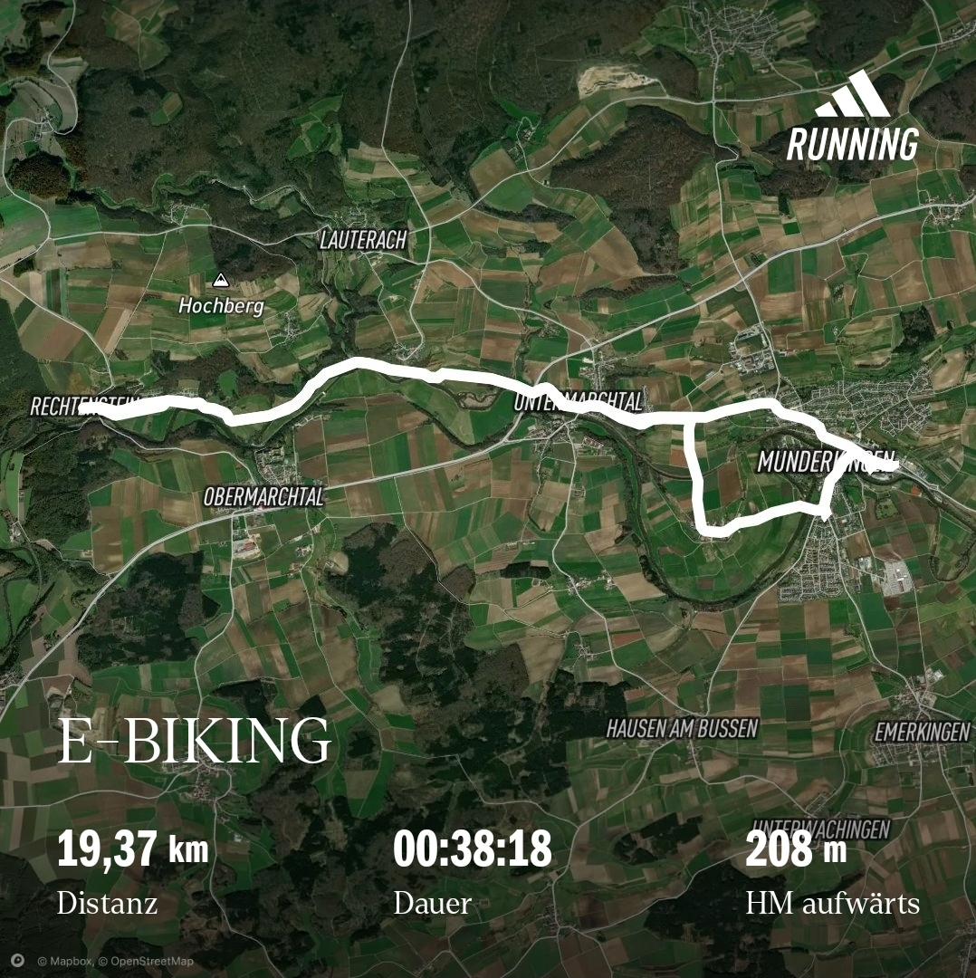
SUP-TOUR mit Maiki auf der Donau
A cycling route starting in Rechtenstein, Baden-Wurttemberg, Germany.
Overview
About this route
- 55 min
- Duration
- 2.1 km
- Distance
- 7 m
- Ascent
- 91 m
- Descent
- 2.3 km/h
- Avg. speed
- 607 m
- Max. altitude

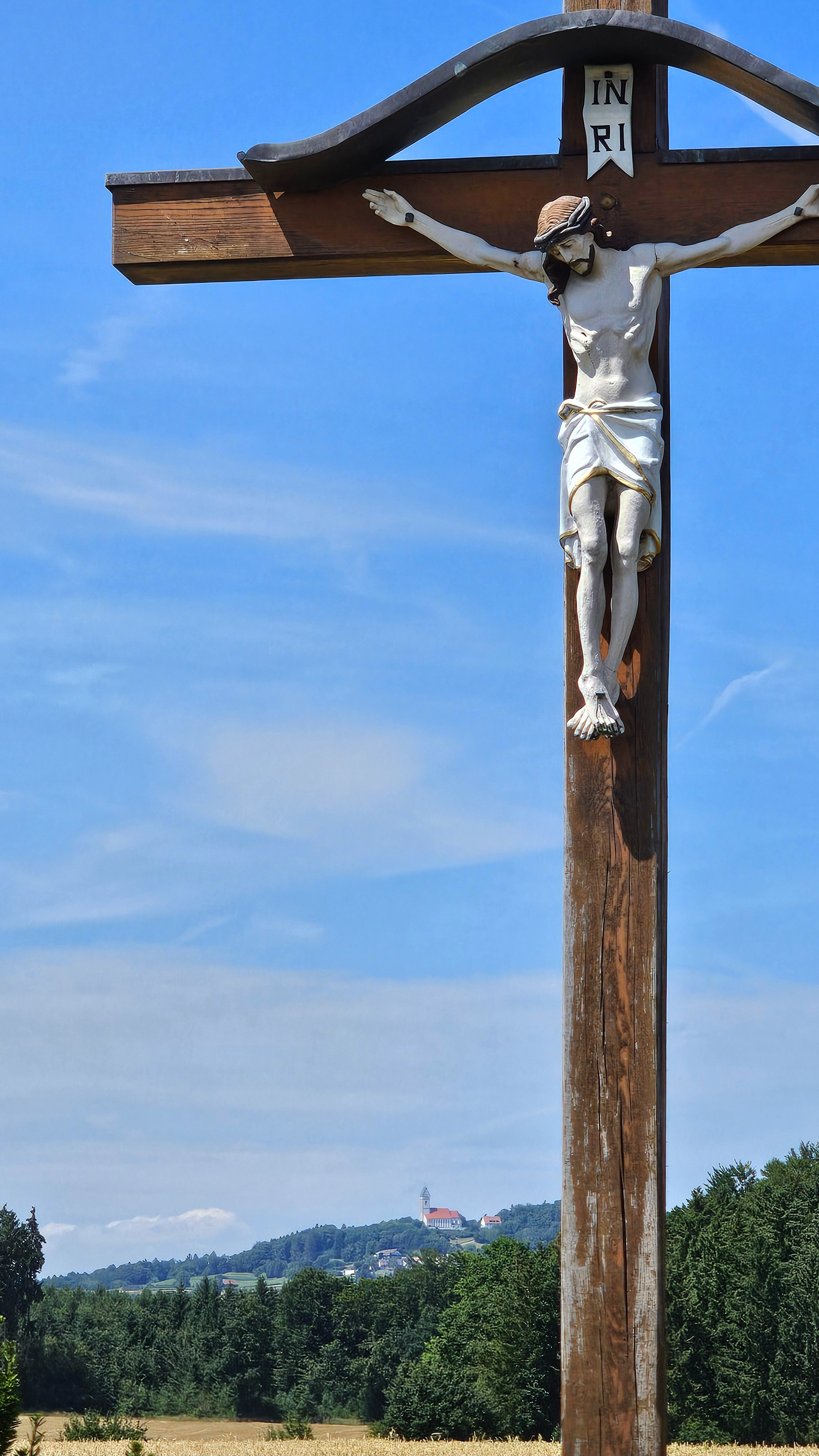
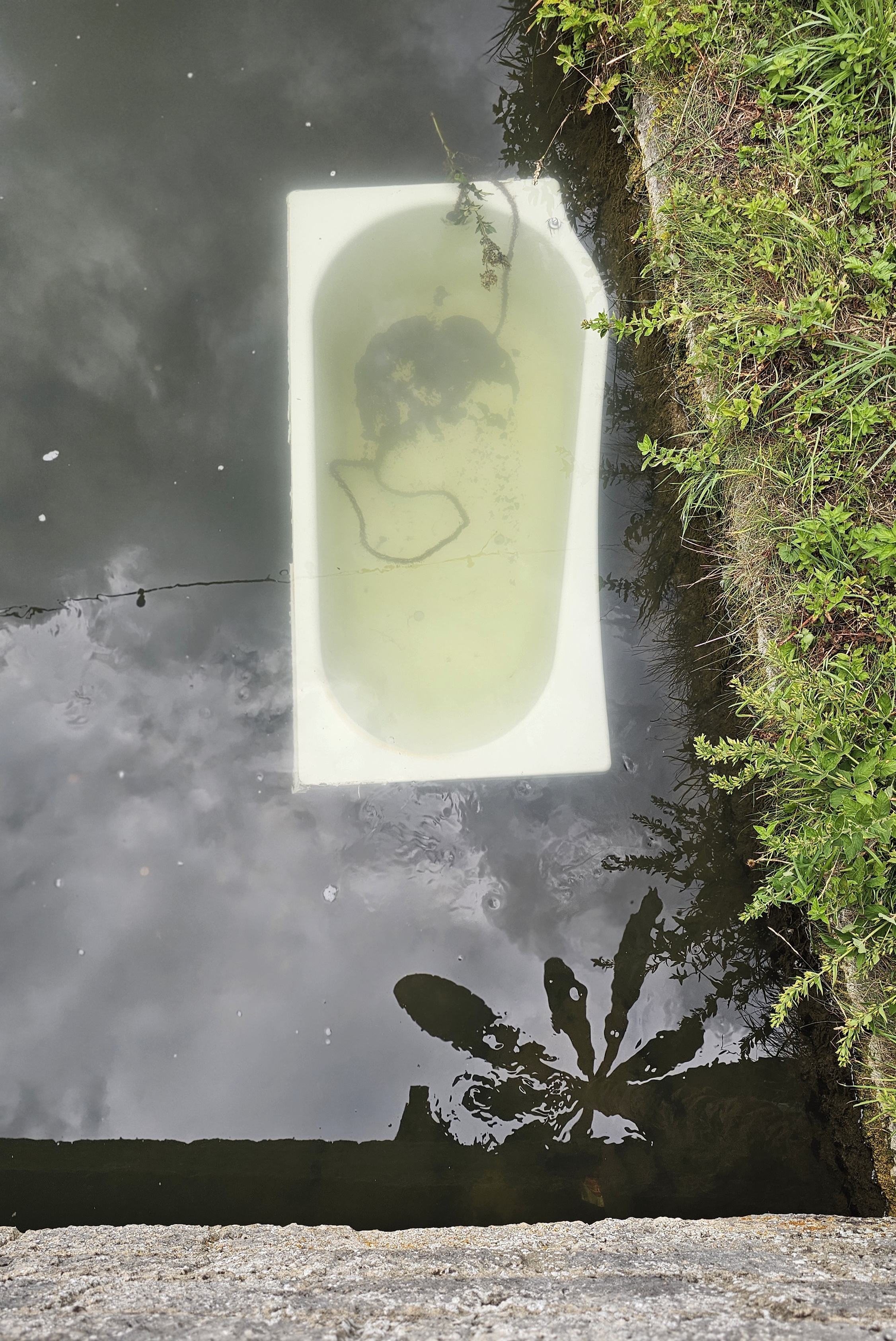
Route photos


Continue with Bikemap
Use, edit, or download this cycling route
You would like to ride SUP-TOUR mit Maiki auf der Donau or customize it for your own trip? Here is what you can do with this Bikemap route:
Free features
- Save this route as favorite or in collections
- Copy & plan your own version of this route
- Sync your route with Garmin or Wahoo
Premium features
Free trial for 3 days, or one-time payment. More about Bikemap Premium.
- Navigate this route on iOS & Android
- Export a GPX / KML file of this route
- Create your custom printout (try it for free)
- Download this route for offline navigation
Discover more Premium features.
Get Bikemap PremiumFrom our community
Other popular routes starting in Rechtenstein
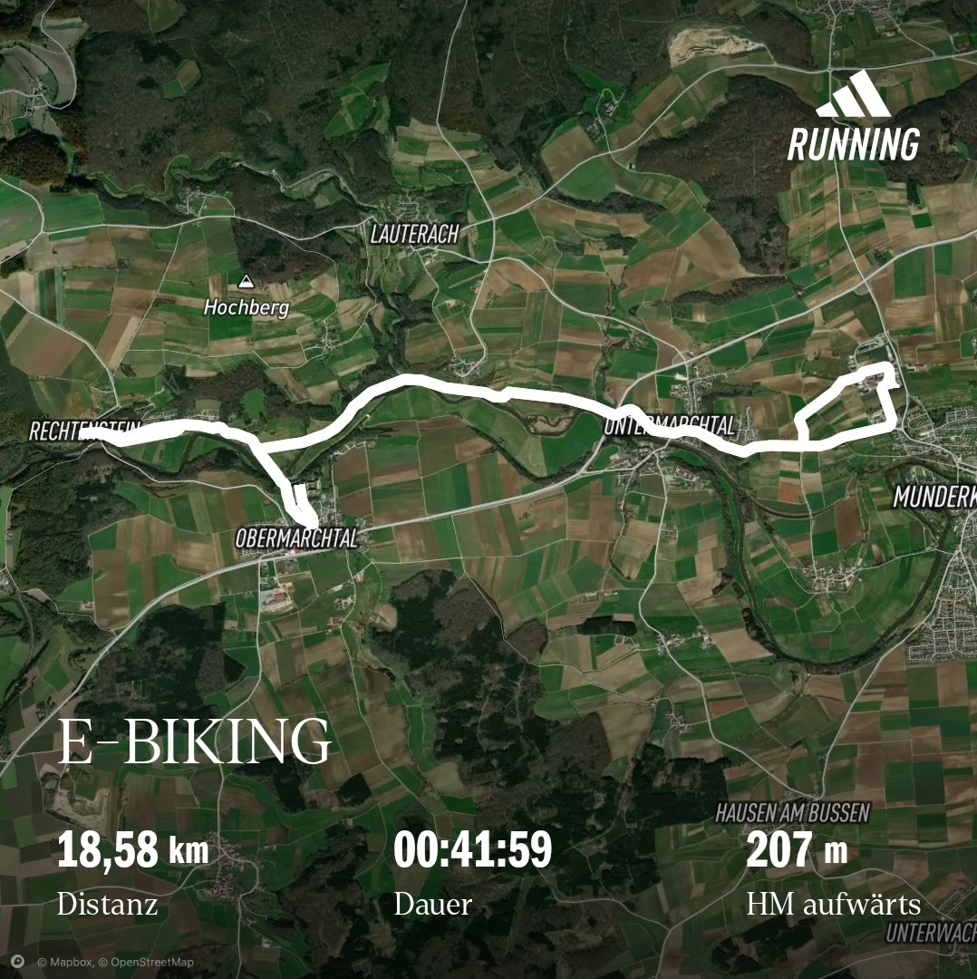
 Mit E-Bike und Anhänger und Daisy zur Tierärztin. Chippen und impfen.
- Distance
- 17 km
- Ascent
- 274 m
- Descent
- 328 m
- Location
- Rechtenstein, Baden-Wurttemberg, Germany
 Salzstangen-Tour - Armageddon, sie holen mich.
- Distance
- 18.8 km
- Ascent
- 112 m
- Descent
- 159 m
- Location
- Rechtenstein, Baden-Wurttemberg, Germany
 Einkaufsfahrt, wie immer.
- Distance
- 18.8 km
- Ascent
- 113 m
- Descent
- 165 m
- Location
- Rechtenstein, Baden-Wurttemberg, Germany
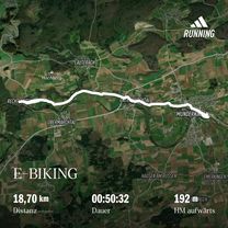
 After Work Pop-Up Weinbar Munderkingen
- Distance
- 19.6 km
- Ascent
- 116 m
- Descent
- 155 m
- Location
- Rechtenstein, Baden-Wurttemberg, Germany
 Kanzach Garagenflohmarkt
- Distance
- 56.2 km
- Ascent
- 508 m
- Descent
- 561 m
- Location
- Rechtenstein, Baden-Wurttemberg, Germany
 Shopping, what else
- Distance
- 19.6 km
- Ascent
- 138 m
- Descent
- 184 m
- Location
- Rechtenstein, Baden-Wurttemberg, Germany
- SUP-TOUR mit Maiki auf der Donau
- Distance
- 2.1 km
- Ascent
- 7 m
- Descent
- 91 m
- Location
- Rechtenstein, Baden-Wurttemberg, Germany
 Inselfeschd Indelhausen durchs Lautertal - Wurstsalat
- Distance
- 31 km
- Ascent
- 226 m
- Descent
- 290 m
- Location
- Rechtenstein, Baden-Wurttemberg, Germany
Open it in the app