
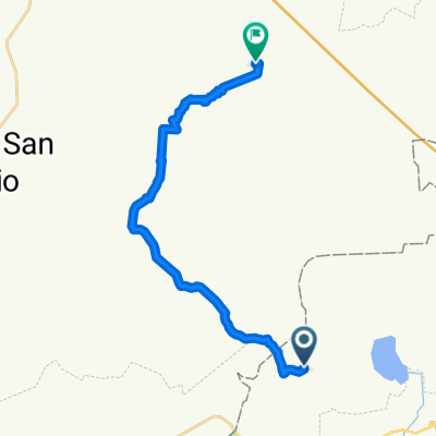
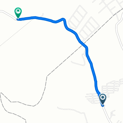
De Limón a De La Paz Norte
A cycling route starting in Potrerillos (Guanajal), Guanajuato, Mexico.
Overview
About this route
- 5 h 40 min
- Duration
- 51.6 km
- Distance
- 883 m
- Ascent
- 595 m
- Descent
- 9.1 km/h
- Avg. speed
- 2,068 m
- Max. altitude

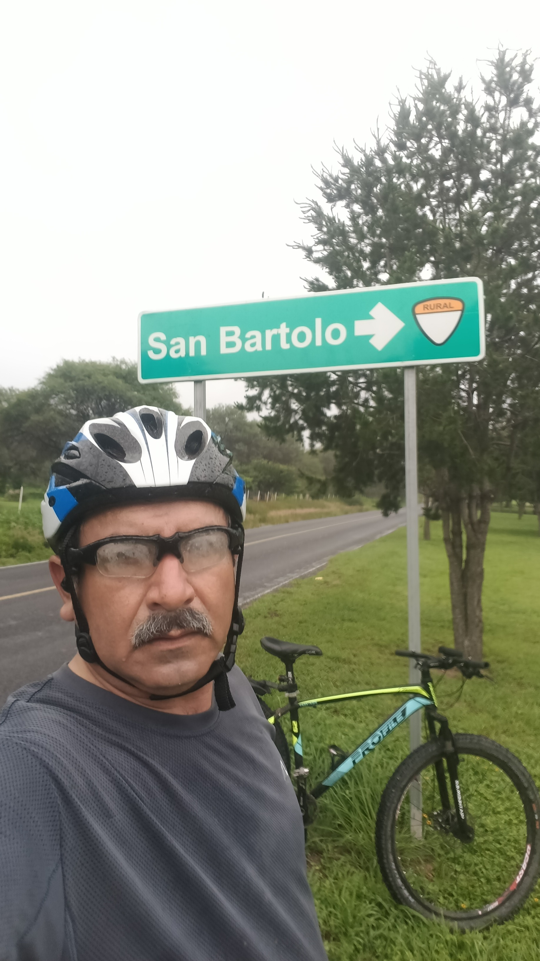
Route photos


Continue with Bikemap
Use, edit, or download this cycling route
You would like to ride De Limón a De La Paz Norte or customize it for your own trip? Here is what you can do with this Bikemap route:
Free features
- Save this route as favorite or in collections
- Copy & plan your own version of this route
- Sync your route with Garmin or Wahoo
Premium features
Free trial for 3 days, or one-time payment. More about Bikemap Premium.
- Navigate this route on iOS & Android
- Export a GPX / KML file of this route
- Create your custom printout (try it for free)
- Download this route for offline navigation
Discover more Premium features.
Get Bikemap PremiumFrom our community
Other popular routes starting in Potrerillos (Guanajal)
- De Limón a De La Paz Norte
- Distance
- 51.6 km
- Ascent
- 883 m
- Descent
- 595 m
- Location
- Potrerillos (Guanajal), Guanajuato, Mexico
 Recovered Route
- Distance
- 5.4 km
- Ascent
- 144 m
- Descent
- 157 m
- Location
- Potrerillos (Guanajal), Guanajuato, Mexico
 De Roble a Melchor Ocampo
- Distance
- 32.2 km
- Ascent
- 406 m
- Descent
- 415 m
- Location
- Potrerillos (Guanajal), Guanajuato, Mexico
 De Roble a Melchor Ocampo
- Distance
- 34 km
- Ascent
- 434 m
- Descent
- 426 m
- Location
- Potrerillos (Guanajal), Guanajuato, Mexico
 De Roble a Vía Sin Nombre
- Distance
- 23.1 km
- Ascent
- 353 m
- Descent
- 313 m
- Location
- Potrerillos (Guanajal), Guanajuato, Mexico
 De Vía Sin Nombre a Vía Sin Nombre
- Distance
- 3.5 km
- Ascent
- 52 m
- Descent
- 14 m
- Location
- Potrerillos (Guanajal), Guanajuato, Mexico
Open it in the app