se guarda o no
- 5 km
- 22 m
- 41 m
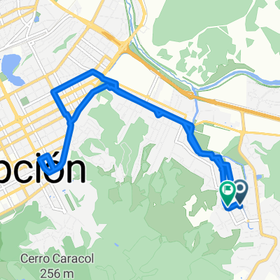
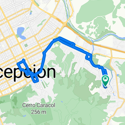
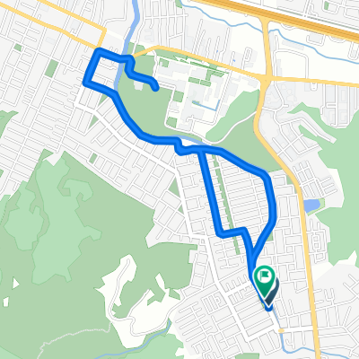
- Concepción, Región del Biobío, Chile
A cycling route starting in Concepción, Región del Biobío, Chile.
Overview
created this 4 months ago


Continue with Bikemap
You would like to ride -36.821, -73.043 a -36.821, -73.043 or customize it for your own trip? Here is what you can do with this Bikemap route:
Free trial for 3 days, or one-time payment. More about Bikemap Premium.
Discover more Premium features.
Get Bikemap PremiumFrom our community
Open it in the app