
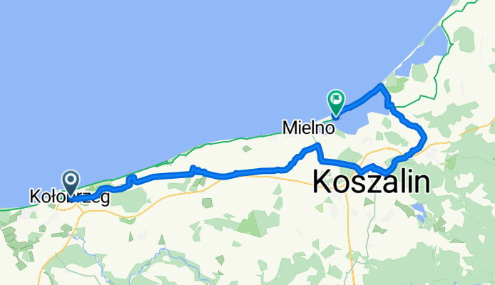
Ratuszowa, Kołobrzeg do Sosnowy Las, Mielno
A cycling route starting in Kołobrzeg, West Pomeranian Voivodeship, Poland.
Overview
About this route
- 4 h 48 min
- Duration
- 75.9 km
- Distance
- 367 m
- Ascent
- 370 m
- Descent
- 15.8 km/h
- Avg. speed
- 90 m
- Max. altitude

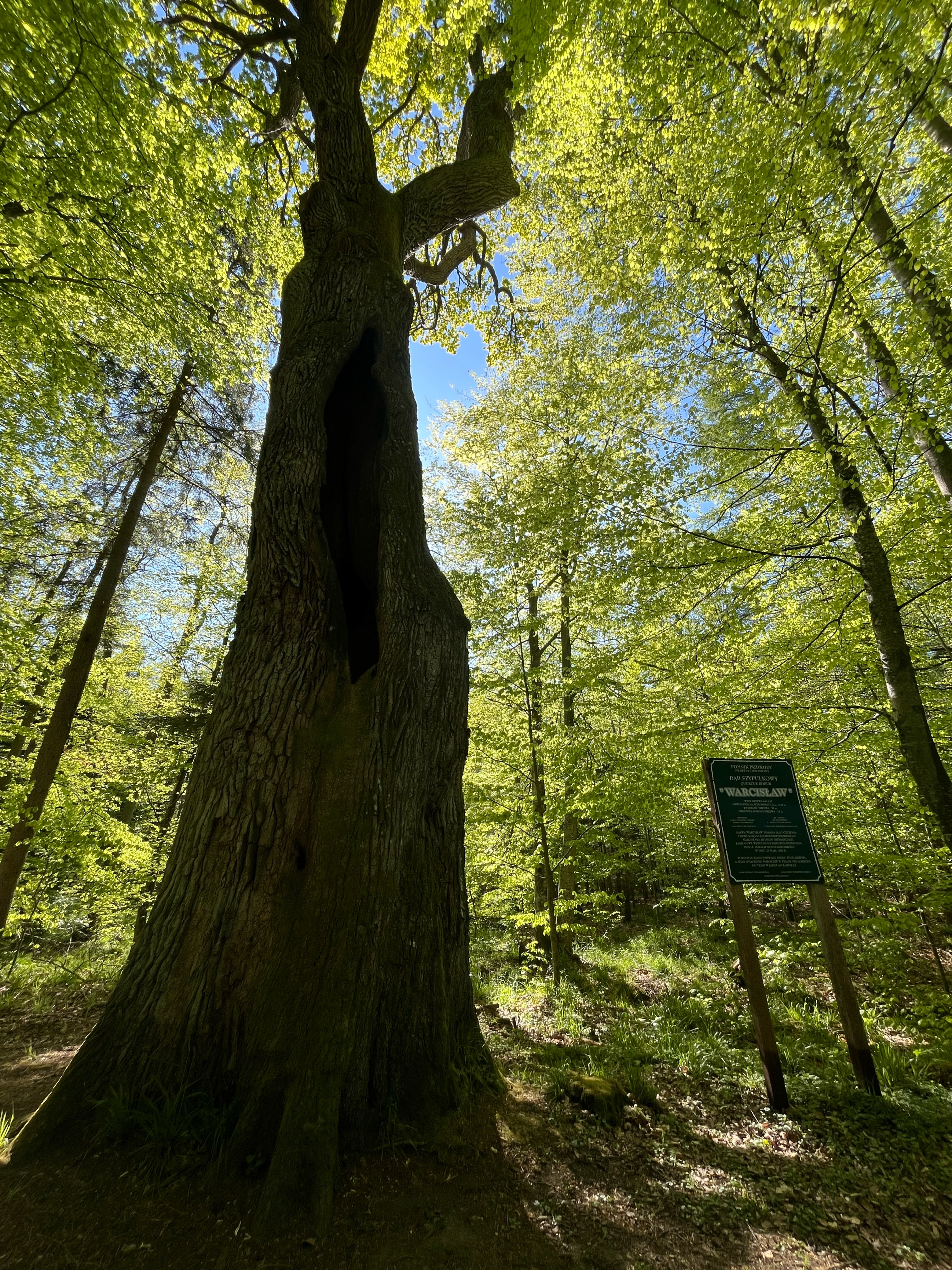
Route photos


Route quality
Waytypes & surfaces along the route
Waytypes
Busy road
19.5 km
(26 %)
Path
17.3 km
(23 %)
Surfaces
Paved
71 km
(94 %)
Unpaved
2.2 km
(3 %)
Asphalt
54.4 km
(72 %)
Paving stones
13.6 km
(18 %)
Continue with Bikemap
Use, edit, or download this cycling route
You would like to ride Ratuszowa, Kołobrzeg do Sosnowy Las, Mielno or customize it for your own trip? Here is what you can do with this Bikemap route:
Free features
- Save this route as favorite or in collections
- Copy & plan your own version of this route
- Sync your route with Garmin or Wahoo
Premium features
Free trial for 3 days, or one-time payment. More about Bikemap Premium.
- Navigate this route on iOS & Android
- Export a GPX / KML file of this route
- Create your custom printout (try it for free)
- Download this route for offline navigation
Discover more Premium features.
Get Bikemap PremiumFrom our community
Other popular routes starting in Kołobrzeg
 Jeziora Kamienica i Popiel
- Distance
- 61.6 km
- Ascent
- 183 m
- Descent
- 152 m
- Location
- Kołobrzeg, West Pomeranian Voivodeship, Poland
 Szlak do najstarszych dębów 2025
- Distance
- 30.5 km
- Ascent
- 367 m
- Descent
- 368 m
- Location
- Kołobrzeg, West Pomeranian Voivodeship, Poland
 Pomorze 2017
- Distance
- 285.9 km
- Ascent
- 206 m
- Descent
- 208 m
- Location
- Kołobrzeg, West Pomeranian Voivodeship, Poland
 Kołobrzeg Dźwirzyno
- Distance
- 39.1 km
- Ascent
- 59 m
- Descent
- 56 m
- Location
- Kołobrzeg, West Pomeranian Voivodeship, Poland
 Wycieczka nr 13 pt 1
- Distance
- 34.8 km
- Ascent
- 534 m
- Descent
- 482 m
- Location
- Kołobrzeg, West Pomeranian Voivodeship, Poland
 Fredry, Kołobrzeg do Turystyczna 11a, Dąbki
- Distance
- 65.7 km
- Ascent
- 93 m
- Descent
- 99 m
- Location
- Kołobrzeg, West Pomeranian Voivodeship, Poland
 Mazowiecka, Kołobrzeg do Mazowiecka, Kołobrzeg
- Distance
- 83.6 km
- Ascent
- 455 m
- Descent
- 455 m
- Location
- Kołobrzeg, West Pomeranian Voivodeship, Poland
 Malinowa 50, Zieleniewo do Wyzwolenia 40O, Dźwirzyno
- Distance
- 12.5 km
- Ascent
- 42 m
- Descent
- 52 m
- Location
- Kołobrzeg, West Pomeranian Voivodeship, Poland
Open it in the app