
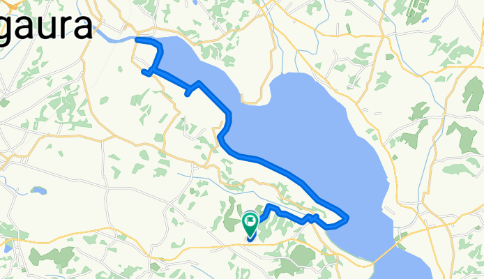
岩坪, かすみがうら市へ岩坪, かすみがうら市
A cycling route starting in Ishioka, Ibaraki, Japan.
Overview
About this route
- 2 h 34 min
- Duration
- 35.9 km
- Distance
- 275 m
- Ascent
- 272 m
- Descent
- 14 km/h
- Avg. speed
- 36 m
- Max. altitude
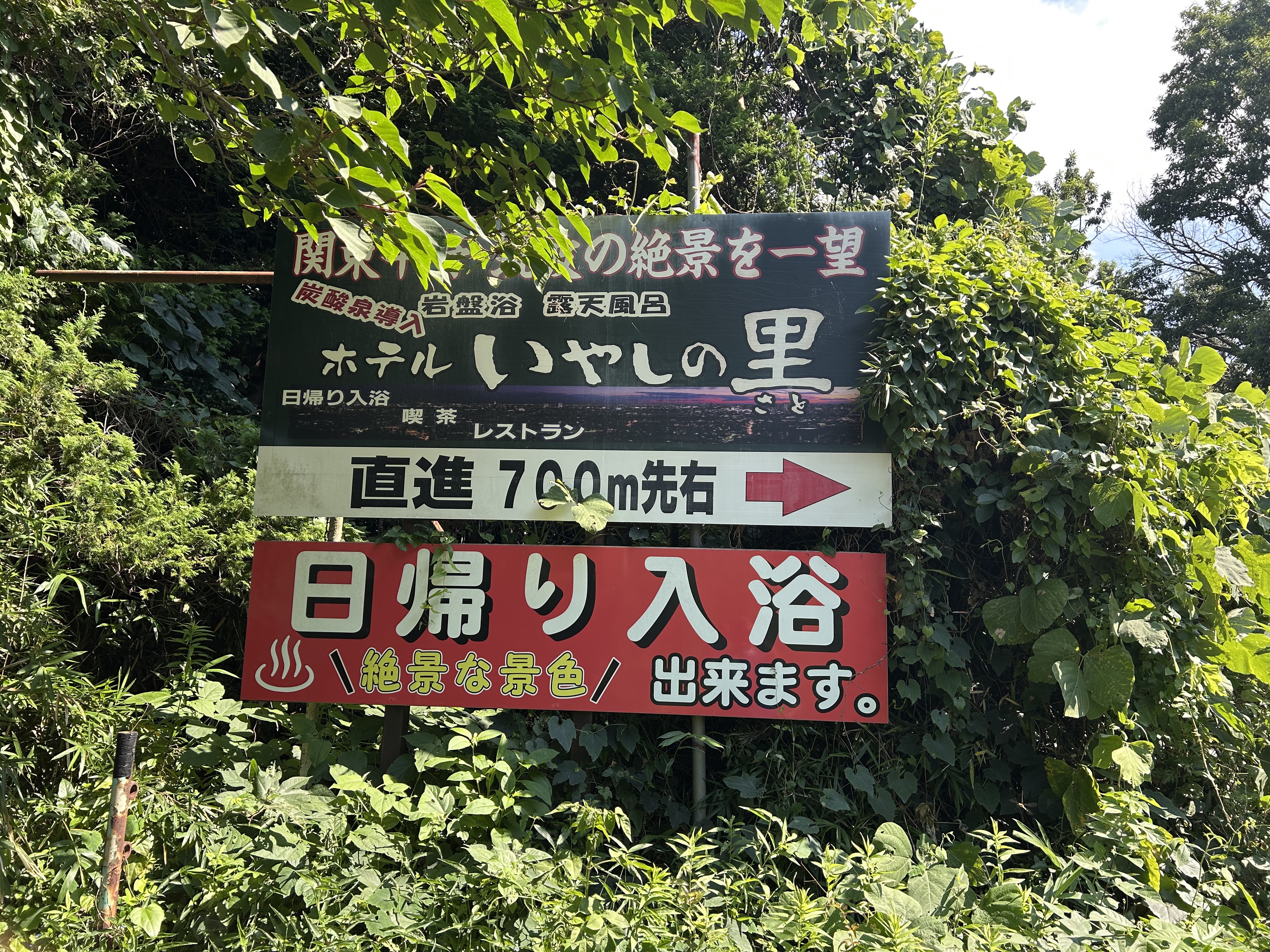
Route photos


Route quality
Waytypes & surfaces along the route
Waytypes
Quiet road
24.1 km
(67 %)
Track
7.2 km
(20 %)
Surfaces
Paved
11.1 km
(31 %)
Paved (undefined)
7.5 km
(21 %)
Asphalt
3.6 km
(10 %)
Undefined
24.8 km
(69 %)
Continue with Bikemap
Use, edit, or download this cycling route
You would like to ride 岩坪, かすみがうら市へ岩坪, かすみがうら市 or customize it for your own trip? Here is what you can do with this Bikemap route:
Free features
- Save this route as favorite or in collections
- Copy & plan your own version of this route
- Sync your route with Garmin or Wahoo
Premium features
Free trial for 3 days, or one-time payment. More about Bikemap Premium.
- Navigate this route on iOS & Android
- Export a GPX / KML file of this route
- Create your custom printout (try it for free)
- Download this route for offline navigation
Discover more Premium features.
Get Bikemap PremiumFrom our community
Other popular routes starting in Ishioka
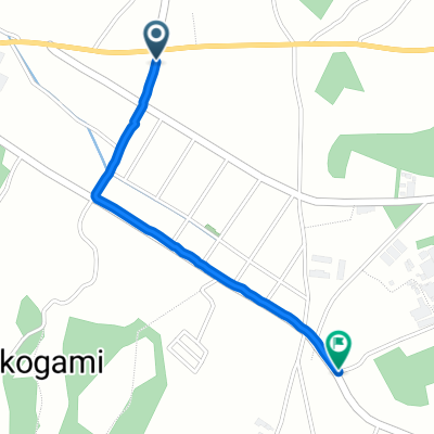 岩坪, かすみがうら市へ坂, かすみがうら市
- Distance
- 1.8 km
- Ascent
- 7 m
- Descent
- 0 m
- Location
- Ishioka, Ibaraki, Japan
- 岩坪, かすみがうら市へ岩坪, かすみがうら市
- Distance
- 35.9 km
- Ascent
- 275 m
- Descent
- 272 m
- Location
- Ishioka, Ibaraki, Japan
 Kasumigaura(Nishiura-Kitaura)
- Distance
- 88.3 km
- Ascent
- 39 m
- Descent
- 39 m
- Location
- Ishioka, Ibaraki, Japan
 THK-14
- Distance
- 79.5 km
- Ascent
- 278 m
- Descent
- 237 m
- Location
- Ishioka, Ibaraki, Japan
 ★2022 つくいち メイン
- Distance
- 105.2 km
- Ascent
- 1,648 m
- Descent
- 1,648 m
- Location
- Ishioka, Ibaraki, Japan
 【つくいち】メインコース
- Distance
- 107.1 km
- Ascent
- 1,783 m
- Descent
- 1,782 m
- Location
- Ishioka, Ibaraki, Japan
 岩坪, かすみがうら市へ岩坪, かすみがうら市
- Distance
- 49.6 km
- Ascent
- 569 m
- Descent
- 577 m
- Location
- Ishioka, Ibaraki, Japan
 コレぞ、フルーツのまち!ごちそうライドコース
- Distance
- 21.3 km
- Ascent
- 126 m
- Descent
- 128 m
- Location
- Ishioka, Ibaraki, Japan
Open it in the app