
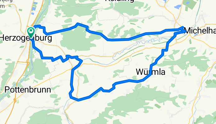
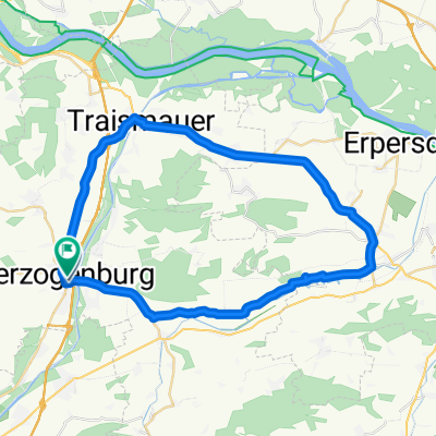
Anschlussstelle Herzogenburg Süd nach Herzogenburg Stadt Bahnhof
A cycling route starting in Herzogenburg, Lower Austria, Austria.
Overview
About this route
- 3 h 11 min
- Duration
- 46.8 km
- Distance
- 388 m
- Ascent
- 388 m
- Descent
- 14.7 km/h
- Avg. speed
- 294 m
- Max. altitude

Route quality
Waytypes & surfaces along the route
Waytypes
Track
23.9 km
(51 %)
Road
11.7 km
(25 %)
Surfaces
Paved
18.7 km
(40 %)
Unpaved
16.4 km
(35 %)
Asphalt
17.3 km
(37 %)
Gravel
12.6 km
(27 %)
Continue with Bikemap
Use, edit, or download this cycling route
You would like to ride Anschlussstelle Herzogenburg Süd nach Herzogenburg Stadt Bahnhof or customize it for your own trip? Here is what you can do with this Bikemap route:
Free features
- Save this route as favorite or in collections
- Copy & plan your own version of this route
- Sync your route with Garmin or Wahoo
Premium features
Free trial for 3 days, or one-time payment. More about Bikemap Premium.
- Navigate this route on iOS & Android
- Export a GPX / KML file of this route
- Create your custom printout (try it for free)
- Download this route for offline navigation
Discover more Premium features.
Get Bikemap PremiumFrom our community
Other popular routes starting in Herzogenburg
 Ossarner Hauptstraße, Herzogenburg nach Ossarner Hauptstraße, Herzogenburg
- Distance
- 41.4 km
- Ascent
- 223 m
- Descent
- 222 m
- Location
- Herzogenburg, Lower Austria, Austria
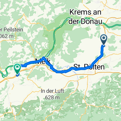 Von Herzogenburg bis Erlauf
- Distance
- 59.9 km
- Ascent
- 249 m
- Descent
- 228 m
- Location
- Herzogenburg, Lower Austria, Austria
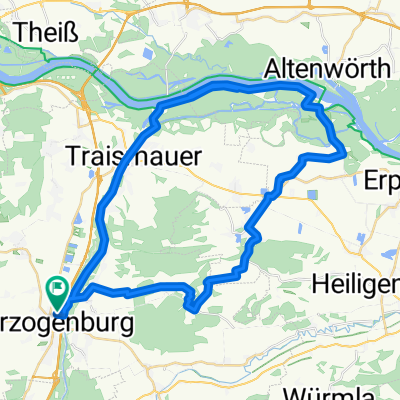
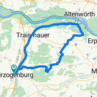 Entlang der Traisen
- Distance
- 42.5 km
- Ascent
- 157 m
- Descent
- 158 m
- Location
- Herzogenburg, Lower Austria, Austria
 myroute1
- Distance
- 41.5 km
- Ascent
- 67 m
- Descent
- 66 m
- Location
- Herzogenburg, Lower Austria, Austria
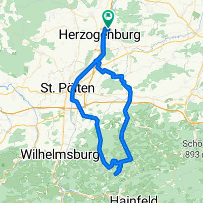 Von St. Andrä zum Strohmayer Karl (Durlass)
- Distance
- 76.4 km
- Ascent
- 1,045 m
- Descent
- 1,045 m
- Location
- Herzogenburg, Lower Austria, Austria
 Anschlussstelle Herzogenburg Süd nach Herzogenburg Stadt Bahnhof
- Distance
- 46.8 km
- Ascent
- 388 m
- Descent
- 388 m
- Location
- Herzogenburg, Lower Austria, Austria
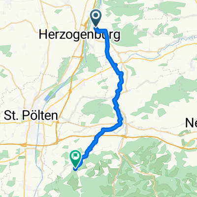 Von Herzogenburg bis Pyhra
- Distance
- 22.3 km
- Ascent
- 164 m
- Descent
- 92 m
- Location
- Herzogenburg, Lower Austria, Austria
 Entlang der Traisen
- Distance
- 47.1 km
- Ascent
- 185 m
- Descent
- 186 m
- Location
- Herzogenburg, Lower Austria, Austria
Open it in the app