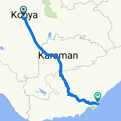


Alakova Çayırbağı Turu
- 45.9 km
- 377 m
- 375 m
- Konya, Konya Province, Republic of Türkiye
A cycling route starting in Konya, Konya Province, Republic of Türkiye.
Overview
created this 4 months ago


Route quality
Quiet road
4.2 km
(36 %)
Cycleway
3.2 km
(27 %)
Paved
0.9 km
(8 %)
Asphalt
0.9 km
(8 %)
Undefined
10.8 km
(92 %)
Continue with Bikemap
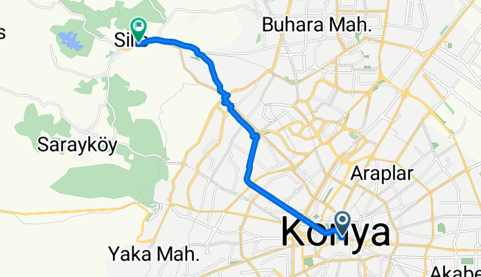
You would like to ride Emir Seyfettin Sokak to Hükümet Caddesi or customize it for your own trip? Here is what you can do with this Bikemap route:
Free trial for 3 days, or one-time payment. More about Bikemap Premium.
Discover more Premium features.
Get Bikemap PremiumFrom our community
Open it in the app