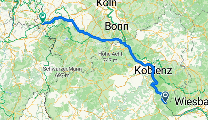
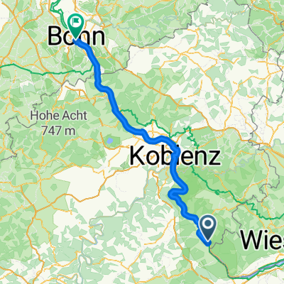
Von Mannheim bis
- 116.3 km
- 918 m
- 941 m
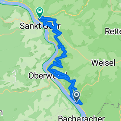
- Kaub, Rhineland-Palatinate, Germany
A cycling route starting in Kaub, Rhineland-Palatinate, Germany.
Overview
created this 4 months ago
Route quality
Path
87 km
(44 %)
Quiet road
47.4 km
(24 %)
Paved
162.1 km
(82 %)
Unpaved
5.9 km
(3 %)
Asphalt
156.2 km
(79 %)
Gravel
5.9 km
(3 %)
Continue with Bikemap
You would like to ride Von Oberwesel bis Aachen or customize it for your own trip? Here is what you can do with this Bikemap route:
Free trial for 3 days, or one-time payment. More about Bikemap Premium.
Discover more Premium features.
Get Bikemap PremiumFrom our community
Open it in the app