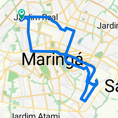


bike tour through Maringa-Ecogarden-Sarandi
- 17.7 km
- 188 m
- 188 m
- Maringá, Paraná, Brazil
A cycling route starting in Maringá, Paraná, Brazil.
Overview
created this 4 months ago


Continue with Bikemap
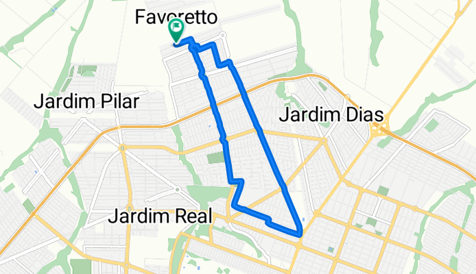
You would like to ride Rua Toshimi Ishikawa, Maringá a Rua Toshimi Ishikawa, Maringá or customize it for your own trip? Here is what you can do with this Bikemap route:
Free trial for 3 days, or one-time payment. More about Bikemap Premium.
Discover more Premium features.
Get Bikemap PremiumFrom our community
Open it in the app