
Freiburg im Breisgau - Nîmes
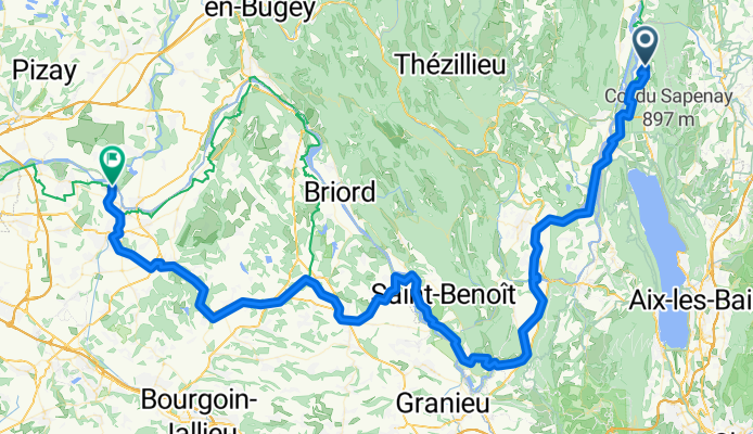
Moye - Chavanoz
A cycling route starting in Moye, Auvergne-Rhône-Alpes, France.
Overview
About this route
- 6 h 14 min
- Duration
- 110.8 km
- Distance
- 480 m
- Ascent
- 509 m
- Descent
- 17.8 km/h
- Avg. speed
- 278 m
- Max. altitude

Part of
Freiburg im Breisgau - Nîmes
4 stages
Route quality
Waytypes & surfaces along the route
Waytypes
Cycleway
51 km
(46 %)
Quiet road
29.9 km
(27 %)
Surfaces
Paved
75.3 km
(68 %)
Unpaved
14.4 km
(13 %)
Asphalt
75.3 km
(68 %)
Loose gravel
13.3 km
(12 %)
Continue with Bikemap
Use, edit, or download this cycling route
You would like to ride Moye - Chavanoz or customize it for your own trip? Here is what you can do with this Bikemap route:
Free features
- Save this route as favorite or in collections
- Copy & plan your own version of this route
- Split it into stages to create a multi-day tour
- Sync your route with Garmin or Wahoo
Premium features
Free trial for 3 days, or one-time payment. More about Bikemap Premium.
- Navigate this route on iOS & Android
- Export a GPX / KML file of this route
- Create your custom printout (try it for free)
- Download this route for offline navigation
Discover more Premium features.
Get Bikemap PremiumFrom our community
Other popular routes starting in Moye
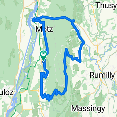 Rond du Gros Foug
- Distance
- 46 km
- Ascent
- 1,213 m
- Descent
- 1,213 m
- Location
- Moye, Auvergne-Rhône-Alpes, France
 Basel - Nice, Tag 8 (Serrières - St.Genix)
- Distance
- 63 km
- Ascent
- 359 m
- Descent
- 382 m
- Location
- Moye, Auvergne-Rhône-Alpes, France
 1368–1506 Route de Bessine, Moye à 39–599 Route de Bessine, Moye
- Distance
- 1.3 km
- Ascent
- 0 m
- Descent
- 92 m
- Location
- Moye, Auvergne-Rhône-Alpes, France
 De Rue de la Pierre Humbert 1, Serrières-en-Chautagne à Route du Canal 313, Chanaz
- Distance
- 16.3 km
- Ascent
- 144 m
- Descent
- 163 m
- Location
- Moye, Auvergne-Rhône-Alpes, France
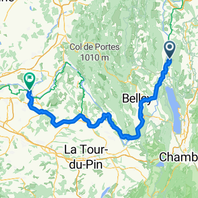
 Belley
- Distance
- 81.4 km
- Ascent
- 545 m
- Descent
- 304 m
- Location
- Moye, Auvergne-Rhône-Alpes, France
 Moye - Chavanoz
- Distance
- 110.8 km
- Ascent
- 480 m
- Descent
- 509 m
- Location
- Moye, Auvergne-Rhône-Alpes, France
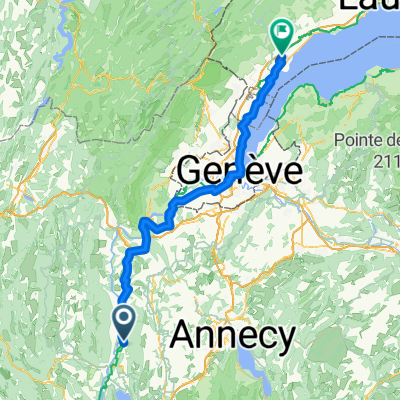 Moye - Gland VD
- Distance
- 96.8 km
- Ascent
- 1,103 m
- Descent
- 928 m
- Location
- Moye, Auvergne-Rhône-Alpes, France
 Grand Colombier en Bichy
- Distance
- 72.4 km
- Ascent
- 2,083 m
- Descent
- 2,090 m
- Location
- Moye, Auvergne-Rhône-Alpes, France
Open it in the app