
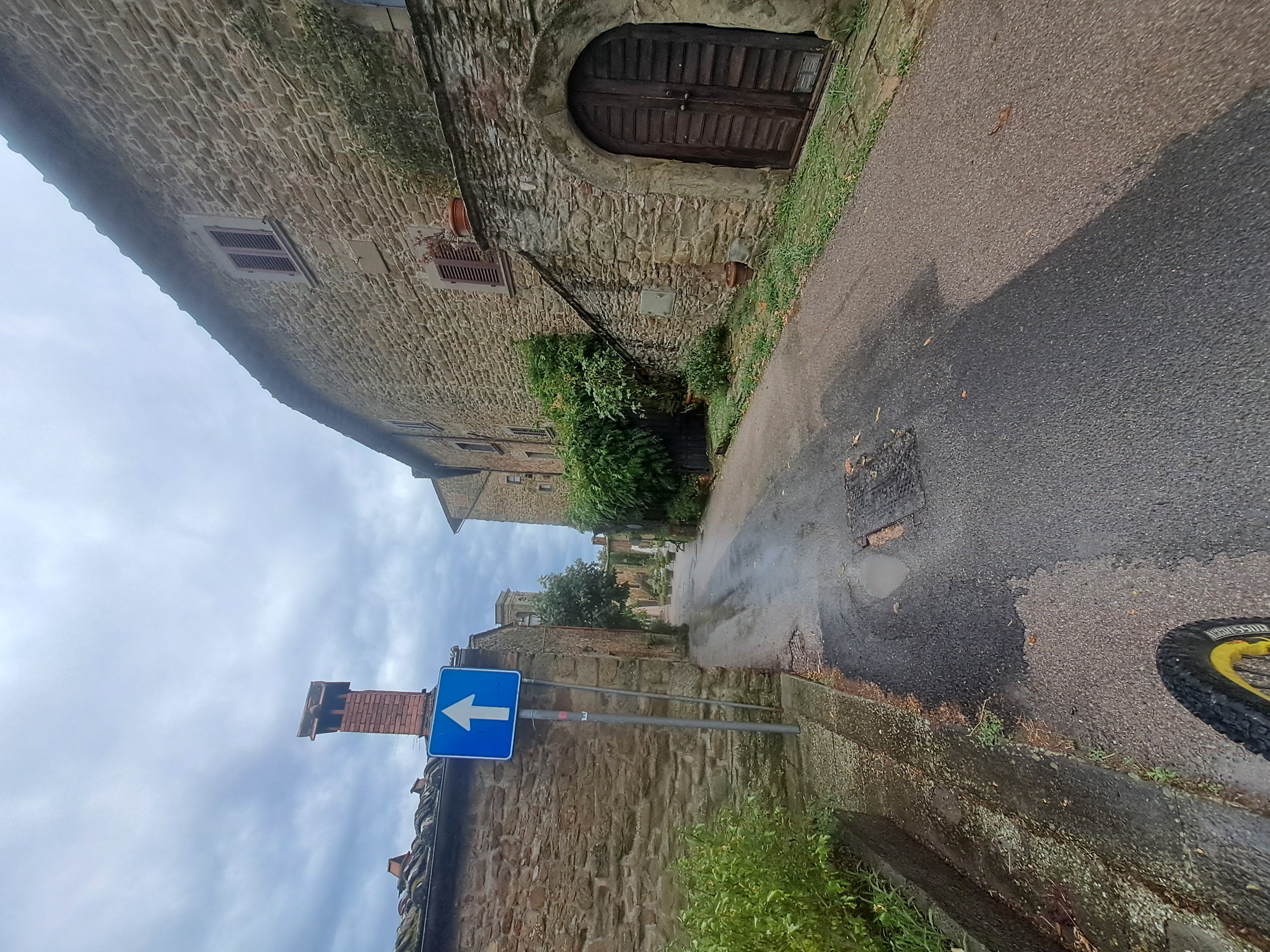
Sassaiola sotto Lucolena
A cycling route starting in Vacchereccia, Tuscany, Italy.
Overview
About this route
- 2 h 42 min
- Duration
- 46.5 km
- Distance
- 706 m
- Ascent
- 764 m
- Descent
- 17.3 km/h
- Avg. speed
- 664 m
- Max. altitude

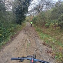
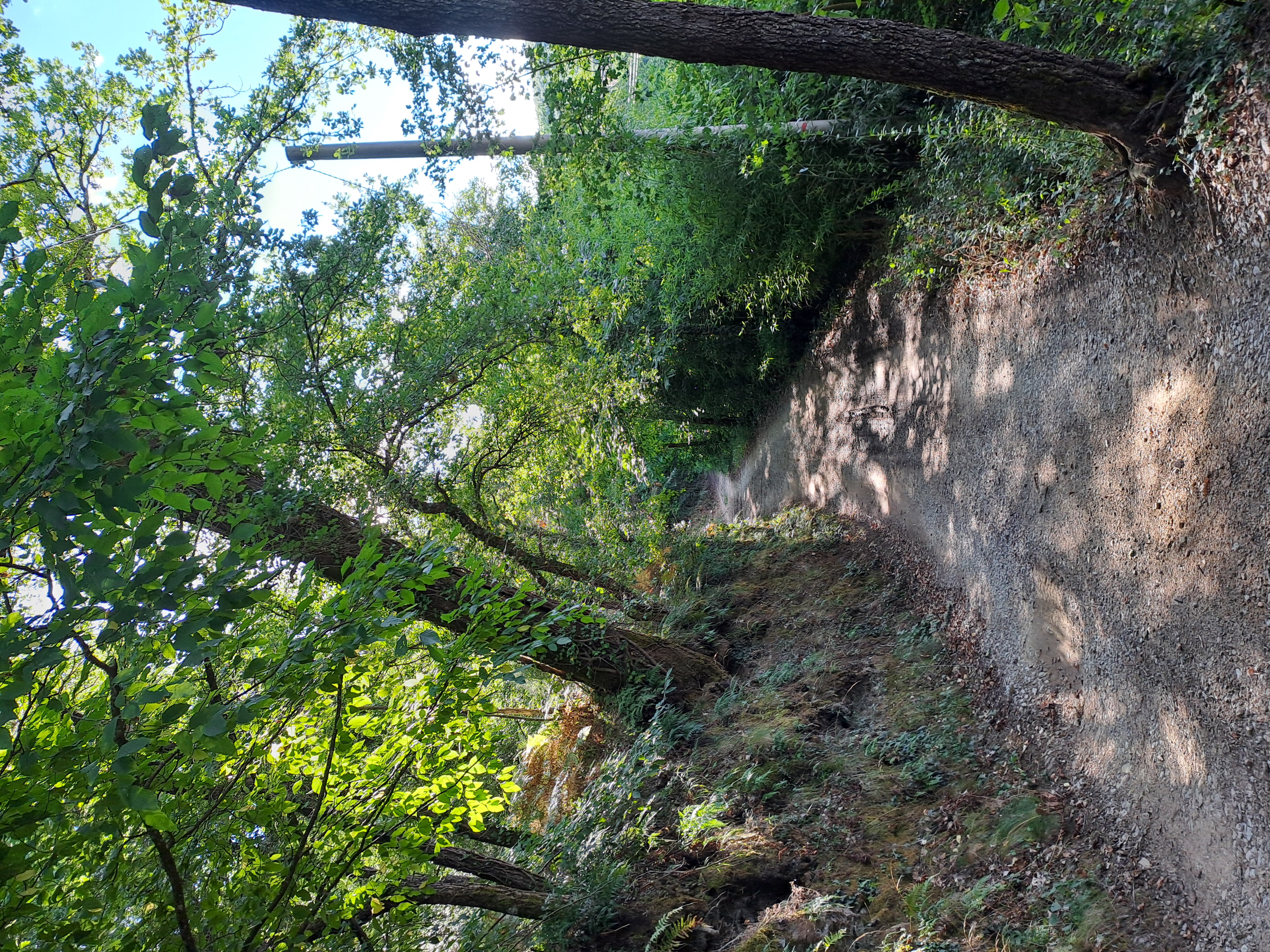
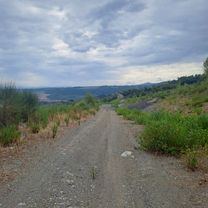
Route photos


Route quality
Waytypes & surfaces along the route
Waytypes
Quiet road
14 km
(30 %)
Track
11.2 km
(24 %)
Surfaces
Paved
21.4 km
(46 %)
Unpaved
5.1 km
(11 %)
Asphalt
21.4 km
(46 %)
Unpaved (undefined)
3.7 km
(8 %)
Continue with Bikemap
Use, edit, or download this cycling route
You would like to ride Sassaiola sotto Lucolena or customize it for your own trip? Here is what you can do with this Bikemap route:
Free features
- Save this route as favorite or in collections
- Copy & plan your own version of this route
- Sync your route with Garmin or Wahoo
Premium features
Free trial for 3 days, or one-time payment. More about Bikemap Premium.
- Navigate this route on iOS & Android
- Export a GPX / KML file of this route
- Create your custom printout (try it for free)
- Download this route for offline navigation
Discover more Premium features.
Get Bikemap PremiumFrom our community
Other popular routes starting in Vacchereccia
 Bomba playground
- Distance
- 40.7 km
- Ascent
- 663 m
- Descent
- 711 m
- Location
- Vacchereccia, Tuscany, Italy
 Brolio 360 gradi
- Distance
- 81.7 km
- Ascent
- 1,561 m
- Descent
- 1,600 m
- Location
- Vacchereccia, Tuscany, Italy
 Chianti Gallo Nero
- Distance
- 81.4 km
- Ascent
- 1,788 m
- Descent
- 1,838 m
- Location
- Vacchereccia, Tuscany, Italy
 Da Via Vacchereccia a Via Vacchereccia
- Distance
- 41.7 km
- Ascent
- 796 m
- Descent
- 846 m
- Location
- Vacchereccia, Tuscany, Italy
 Sunset around the Lake 16/07
- Distance
- 42.2 km
- Ascent
- 615 m
- Descent
- 666 m
- Location
- Vacchereccia, Tuscany, Italy
- Sassaiola sotto Lucolena
- Distance
- 46.5 km
- Ascent
- 706 m
- Descent
- 764 m
- Location
- Vacchereccia, Tuscany, Italy
 Badia Reverse 29/07
- Distance
- 41.6 km
- Ascent
- 800 m
- Descent
- 844 m
- Location
- Vacchereccia, Tuscany, Italy
 Post ferie 24/08
- Distance
- 44.5 km
- Ascent
- 797 m
- Descent
- 844 m
- Location
- Vacchereccia, Tuscany, Italy
Open it in the app