

Via Mezdi, St. Moritz nach Maria-Theresien-Straße, Innsbruck
- 212.8 km
- 6,078 m
- 7,275 m
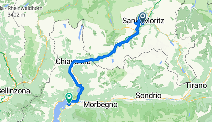
- St. Moritz, Grisons, Switzerland
A cycling route starting in St. Moritz, Grisons, Switzerland.
Overview
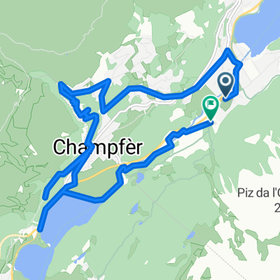
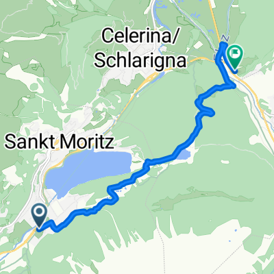
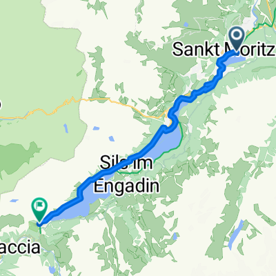
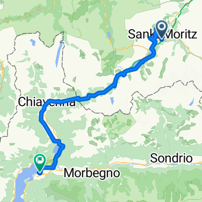
Durch das Zentrum von St. Moritz fahren wir aufwärts zur Mittelstation der Chantarella-Bahn. Die letzten Höhenmeter zur Corviglia bescheren uns ein atemberaubendes Panorama über das gesamte Oberengadin. Wunderschöne, flowige Trails führen uns hinunter nach Champfer. Nun geht es idyllisch vorbei am Silvaplaner und Silser See und über den Malojapass durch das Val Bregaglia an den Comer See. Übernachtung in Colico oder Gravedona. [98 km, 1190 hm, F/-]
created this 4 months ago
Continue with Bikemap
You would like to ride 6_V2_St.Moritz-Colico or customize it for your own trip? Here is what you can do with this Bikemap route:
Free trial for 3 days, or one-time payment. More about Bikemap Premium.
Discover more Premium features.
Get Bikemap PremiumFrom our community
Open it in the app