
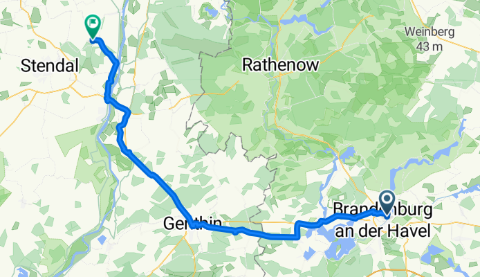
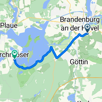
Mühlentorstraße, Brandenburg an der Havel to K 1039, Hassel
A cycling route starting in Brandenburg, Brandenburg, Germany.
Overview
About this route
- 7 h 7 min
- Duration
- 70.2 km
- Distance
- 101 m
- Ascent
- 106 m
- Descent
- 9.9 km/h
- Avg. speed
- 54 m
- Max. altitude

Route quality
Waytypes & surfaces along the route
Waytypes
Track
26.7 km
(38 %)
Path
24.6 km
(35 %)
Surfaces
Paved
38.6 km
(55 %)
Unpaved
16.1 km
(23 %)
Asphalt
37.2 km
(53 %)
Gravel
16.1 km
(23 %)
Continue with Bikemap
Use, edit, or download this cycling route
You would like to ride Mühlentorstraße, Brandenburg an der Havel to K 1039, Hassel or customize it for your own trip? Here is what you can do with this Bikemap route:
Free features
- Save this route as favorite or in collections
- Copy & plan your own version of this route
- Sync your route with Garmin or Wahoo
Premium features
Free trial for 3 days, or one-time payment. More about Bikemap Premium.
- Navigate this route on iOS & Android
- Export a GPX / KML file of this route
- Create your custom printout (try it for free)
- Download this route for offline navigation
Discover more Premium features.
Get Bikemap PremiumFrom our community
Other popular routes starting in Brandenburg
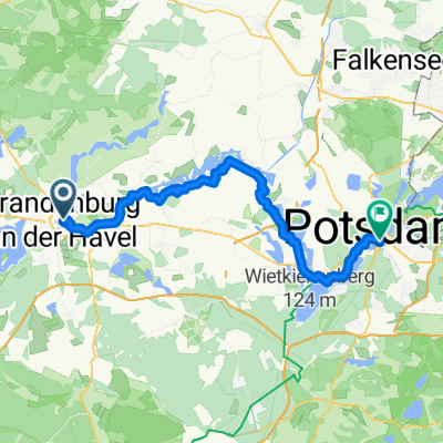 Altstädtischer Markt, Brandenburg an der Havel nach Leipziger Straße, Potsdam
- Distance
- 58.6 km
- Ascent
- 169 m
- Descent
- 173 m
- Location
- Brandenburg, Brandenburg, Germany
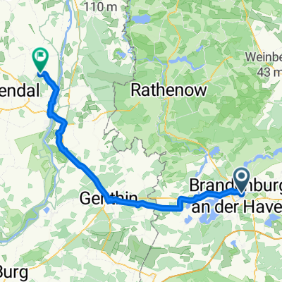
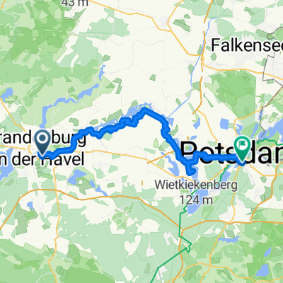 Segeln längs der Havel, am besten bei Westwind - der Havelradweg Brandenburg-Potsdam
- Distance
- 61.6 km
- Ascent
- 65 m
- Descent
- 64 m
- Location
- Brandenburg, Brandenburg, Germany
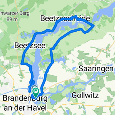
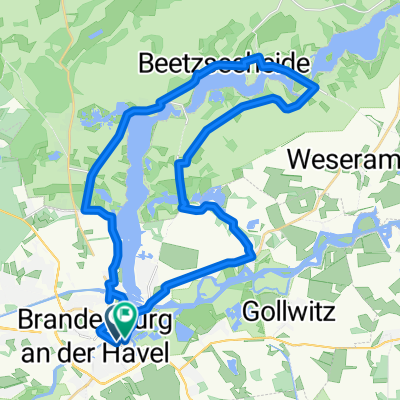
 Muschrunde
- Distance
- 26.8 km
- Ascent
- 57 m
- Descent
- 59 m
- Location
- Brandenburg, Brandenburg, Germany
 Grillendamm 4A nach Burghof
- Distance
- 32.9 km
- Ascent
- 48 m
- Descent
- 91 m
- Location
- Brandenburg, Brandenburg, Germany
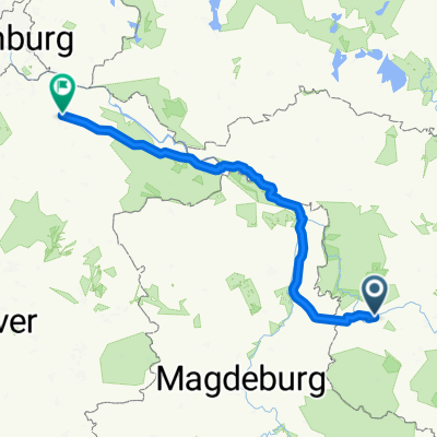 From Schönhausen to Lüneburg
- Distance
- 229.2 km
- Ascent
- 840 m
- Descent
- 846 m
- Location
- Brandenburg, Brandenburg, Germany
 Mühlentorstraße, Brandenburg an der Havel to K 1039, Hassel
- Distance
- 70.2 km
- Ascent
- 101 m
- Descent
- 106 m
- Location
- Brandenburg, Brandenburg, Germany
 08_Storchenradweg_Brandenburg_37_km
- Distance
- 34.5 km
- Ascent
- 56 m
- Descent
- 59 m
- Location
- Brandenburg, Brandenburg, Germany
 Im Hauptbahnhof nach Gränertstraße
- Distance
- 14.1 km
- Ascent
- 46 m
- Descent
- 83 m
- Location
- Brandenburg, Brandenburg, Germany
Open it in the app