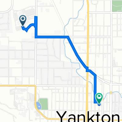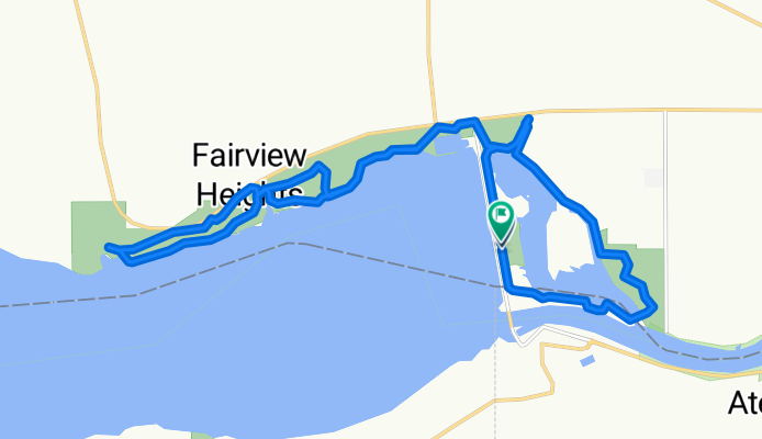

147 Hatchery Loop, Yankton to 43400–43412 Shore Dr, Yankton
- 13.3 km
- 29 m
- 16 m
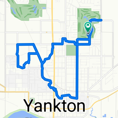
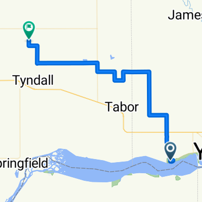
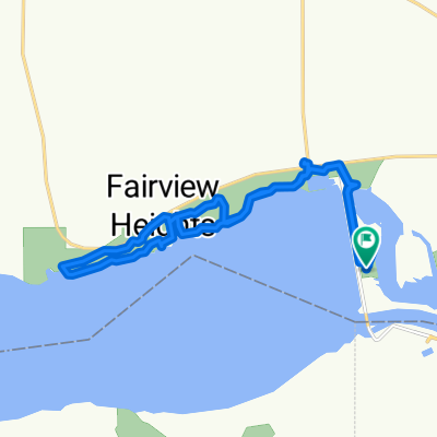
- Yankton, South Dakota, United States


Cycleway
20.4 km90 %Access road
2 km9 %Quiet road
0.2 km1 %Paved
20.6 km(91 %)Asphalt
17.7 km78 %Paved (undefined)
2.9 km13 %Undefined
2 km9 %Free trial for 3 days, or one-time payment. More about Bikemap Premium.
Discover more Premium features.
Get Bikemap PremiumOpen it in the app