

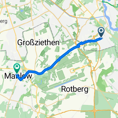
Unbenannte Route
A cycling route starting in Bohnsdorf, State of Berlin, Germany.
Overview
About this route
- 2 h 8 min
- Duration
- 42.1 km
- Distance
- 99 m
- Ascent
- 98 m
- Descent
- 19.8 km/h
- Avg. speed
- 56 m
- Max. altitude

Route quality
Waytypes & surfaces along the route
Waytypes
Path
19.8 km
(47 %)
Road
10.9 km
(26 %)
Surfaces
Paved
40 km
(95 %)
Asphalt
39.1 km
(93 %)
Concrete
0.8 km
(2 %)
Undefined
2.1 km
(5 %)
Continue with Bikemap
Use, edit, or download this cycling route
You would like to ride Unbenannte Route or customize it for your own trip? Here is what you can do with this Bikemap route:
Free features
- Save this route as favorite or in collections
- Copy & plan your own version of this route
- Sync your route with Garmin or Wahoo
Premium features
Free trial for 3 days, or one-time payment. More about Bikemap Premium.
- Navigate this route on iOS & Android
- Export a GPX / KML file of this route
- Create your custom printout (try it for free)
- Download this route for offline navigation
Discover more Premium features.
Get Bikemap PremiumFrom our community
Other popular routes starting in Bohnsdorf
 Route from Buntzelstraße 72, Berlin
- Distance
- 14.1 km
- Ascent
- 34 m
- Descent
- 31 m
- Location
- Bohnsdorf, State of Berlin, Germany
 Wegendorf
- Distance
- 40.3 km
- Ascent
- 71 m
- Descent
- 40 m
- Location
- Bohnsdorf, State of Berlin, Germany
 Dorfplatz15-Winckelmann56
- Distance
- 7.3 km
- Ascent
- 4 m
- Descent
- 19 m
- Location
- Bohnsdorf, State of Berlin, Germany
 Unbenannte Route
- Distance
- 41.1 km
- Ascent
- 176 m
- Descent
- 175 m
- Location
- Bohnsdorf, State of Berlin, Germany
 50 km Wildau-Müggelsee Süd
- Distance
- 49 km
- Ascent
- 180 m
- Descent
- 181 m
- Location
- Bohnsdorf, State of Berlin, Germany
 zuhause Mauerweg Lichtenrade
- Distance
- 14.1 km
- Ascent
- 22 m
- Descent
- 17 m
- Location
- Bohnsdorf, State of Berlin, Germany
 I tappa Hotel Grunau - Stazione Jungfernheide
- Distance
- 49.7 km
- Ascent
- 70 m
- Descent
- 76 m
- Location
- Bohnsdorf, State of Berlin, Germany
 Unbenannte Route
- Distance
- 42.1 km
- Ascent
- 99 m
- Descent
- 98 m
- Location
- Bohnsdorf, State of Berlin, Germany
Open it in the app