England and Wales 2025
A cycling route starting in Newhaven, England, United Kingdom.
Overview
About this route
- 81 h 26 min
- Duration
- 1,278.7 km
- Distance
- 10,563 m
- Ascent
- 10,537 m
- Descent
- 15.7 km/h
- Avg. speed
- 528 m
- Max. altitude
Route quality
Waytypes & surfaces along the route
Waytypes
Quiet road
432.6 km
(34 %)
Cycleway
390.5 km
(31 %)
Surfaces
Paved
720.4 km
(56 %)
Unpaved
148.9 km
(12 %)
Asphalt
685.4 km
(54 %)
Gravel
131.5 km
(10 %)
Route highlights
Points of interest along the route
Accommodation after 133.3 km
Camping
Accommodation after 153.6 km
Hostel
Accommodation after 248.9 km
Camping
Accommodation after 338.6 km
Camping
Accommodation after 420.7 km
Camping
Accommodation after 514.1 km
Camping
Accommodation after 600.8 km
Camping
Accommodation after 690.7 km
Camping
Accommodation after 746.3 km
Camping
Accommodation after 773 km
Camping
Accommodation after 815.4 km
Camping
Accommodation after 901.9 km
Camping
Accommodation after 978.7 km
Camping
Accommodation after 1,034.6 km
Camping
Accommodation after 1,098.4 km
Camping
Accommodation after 1,189.7 km
Camping
Accommodation after 1,246.5 km
Youth Hostel
Continue with Bikemap
Use, edit, or download this cycling route
You would like to ride England and Wales 2025 or customize it for your own trip? Here is what you can do with this Bikemap route:
Free features
- Save this route as favorite or in collections
- Copy & plan your own version of this route
- Split it into stages to create a multi-day tour
- Sync your route with Garmin or Wahoo
Premium features
Free trial for 3 days, or one-time payment. More about Bikemap Premium.
- Navigate this route on iOS & Android
- Export a GPX / KML file of this route
- Create your custom printout (try it for free)
- Download this route for offline navigation
Discover more Premium features.
Get Bikemap PremiumFrom our community
Other popular routes starting in Newhaven
- England and Wales 2025
- Distance
- 1,278.7 km
- Ascent
- 10,563 m
- Descent
- 10,537 m
- Location
- Newhaven, England, United Kingdom
- Paris - Londres (Etape 2 : Newhaven - Londres)2
- Distance
- 97.2 km
- Ascent
- 806 m
- Descent
- 791 m
- Location
- Newhaven, England, United Kingdom
- FRA - GBR
- Distance
- 153.6 km
- Ascent
- 557 m
- Descent
- 554 m
- Location
- Newhaven, England, United Kingdom
- [Paris-Londres] -2- Newhaven-Londres (voie verte)
- Distance
- 156.2 km
- Ascent
- 642 m
- Descent
- 610 m
- Location
- Newhaven, England, United Kingdom
- auberge de jeunesse - eastgrinstead
- Distance
- 42.8 km
- Ascent
- 358 m
- Descent
- 236 m
- Location
- Newhaven, England, United Kingdom
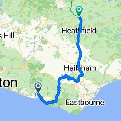
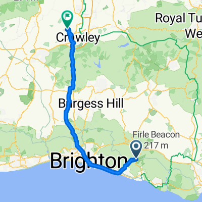
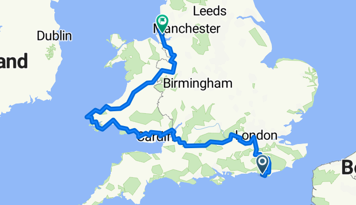
- Paris - Londres -> Troisème étape
- Distance
- 95.2 km
- Ascent
- 577 m
- Descent
- 548 m
- Location
- Newhaven, England, United Kingdom
- quatrième étape Paris Londres
- Distance
- 56.7 km
- Ascent
- 645 m
- Descent
- 586 m
- Location
- Newhaven, England, United Kingdom
- Southese Bridge to Pett Level 67km
- Distance
- 67.6 km
- Ascent
- 574 m
- Descent
- 542 m
- Location
- Newhaven, England, United Kingdom
Open it in the app