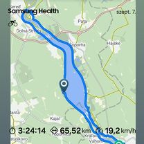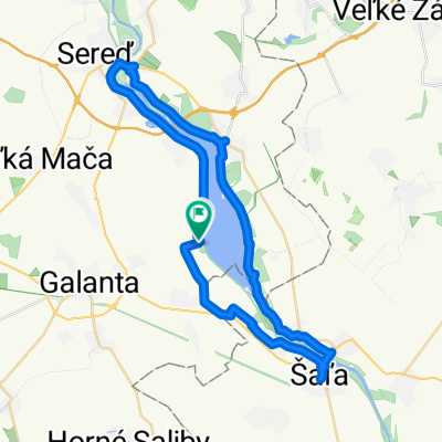

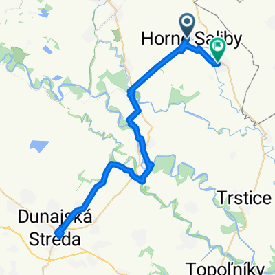
Horné Saliby - Duna Szerdahelyi - Dolné Saliby
- 52.2 km
- 64 m
- 66 m
- Galanta, Trnava Region, Slovakia
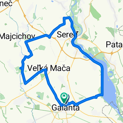
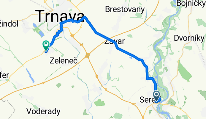
Budapest VIII. kerület - Trnava
A cycling route starting in Galanta, Trnava Region, Slovakia.
Overview
created this 4 months ago
Part of
8 stages
Route quality
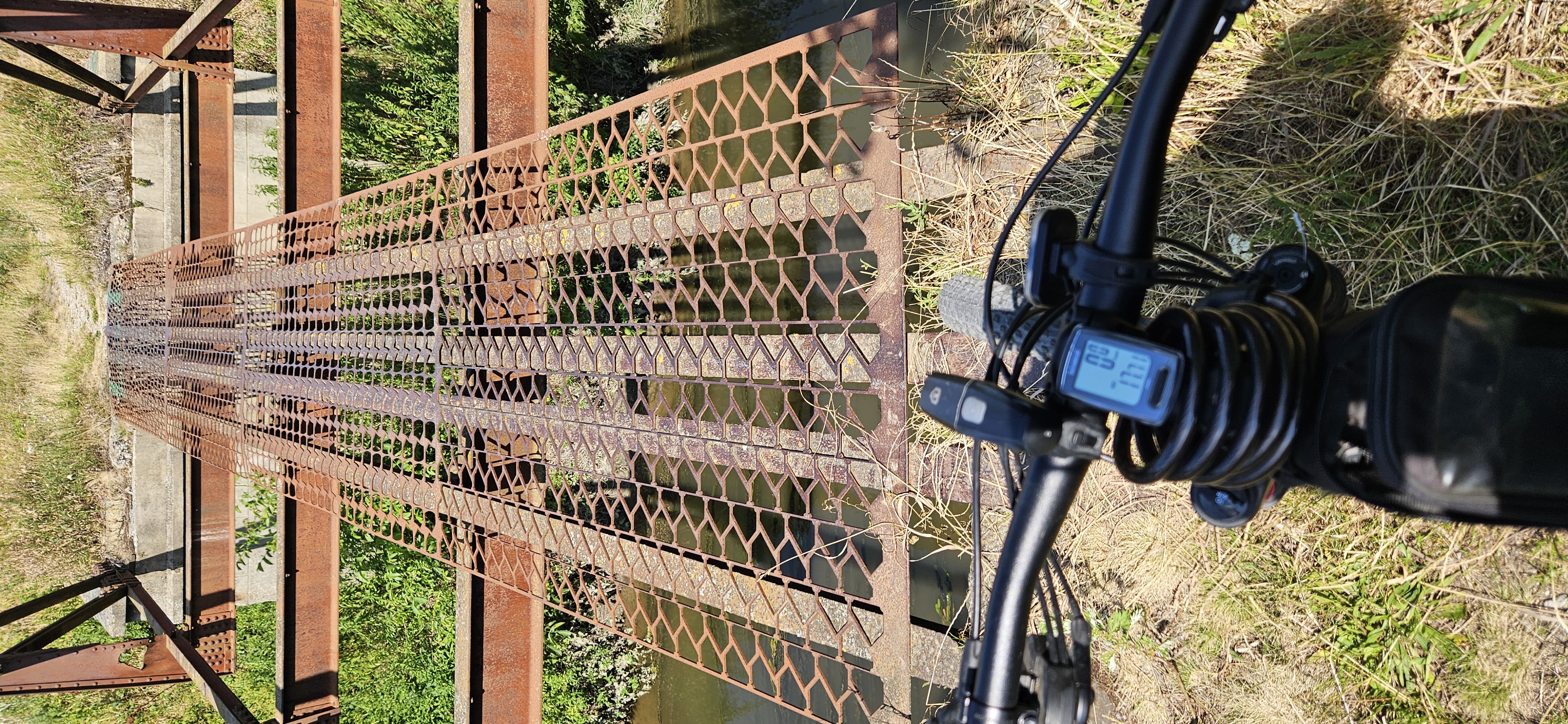
Road
13.5 km
(57 %)
Cycleway
5.7 km
(24 %)
Paved
20.4 km
(86 %)
Asphalt
20.4 km
(86 %)
Undefined
3.3 km
(14 %)
Continue with Bikemap
You would like to ride From Sereď to Hrnčiarovce nad Parnou or customize it for your own trip? Here is what you can do with this Bikemap route:
Free trial for 3 days, or one-time payment. More about Bikemap Premium.
Discover more Premium features.
Get Bikemap PremiumFrom our community
Open it in the app