

Vran planina – Blidinje (kružna preko polja)
A cycling route starting in Jablanica, Federation of Bosnia and Herzegovina, Bosnia and Herzegovina.
Overview
About this route
Vran planina – Blidinje (kružna preko polja)
- -:--
- Duration
- 47.9 km
- Distance
- 875 m
- Ascent
- 874 m
- Descent
- ---
- Avg. speed
- ---
- Max. altitude

Route quality
Waytypes & surfaces along the route
Waytypes
Track
18.7 km
(39 %)
Quiet road
11.5 km
(24 %)
Undefined
17.7 km
(37 %)
Surfaces
Paved
23 km
(48 %)
Unpaved
15.3 km
(32 %)
Asphalt
17.2 km
(36 %)
Gravel
15.3 km
(32 %)
Continue with Bikemap
Use, edit, or download this cycling route
You would like to ride Vran planina – Blidinje (kružna preko polja) or customize it for your own trip? Here is what you can do with this Bikemap route:
Free features
- Save this route as favorite or in collections
- Copy & plan your own version of this route
- Sync your route with Garmin or Wahoo
Premium features
Free trial for 3 days, or one-time payment. More about Bikemap Premium.
- Navigate this route on iOS & Android
- Export a GPX / KML file of this route
- Create your custom printout (try it for free)
- Download this route for offline navigation
Discover more Premium features.
Get Bikemap PremiumFrom our community
Other popular routes starting in Jablanica
 XCM-Herzegovina-2019.-Mali-maraton
- Distance
- 54.7 km
- Ascent
- 670 m
- Descent
- 670 m
- Location
- Jablanica, Federation of Bosnia and Herzegovina, Bosnia and Herzegovina
 XCM Hercegovina
- Distance
- 54.7 km
- Ascent
- 671 m
- Descent
- 671 m
- Location
- Jablanica, Federation of Bosnia and Herzegovina, Bosnia and Herzegovina
 Jablanica - Prozor - Tomislavgrad - Posušje - Široki b. - Mostar - Jablanica
- Distance
- 212.4 km
- Ascent
- 1,672 m
- Descent
- 1,680 m
- Location
- Jablanica, Federation of Bosnia and Herzegovina, Bosnia and Herzegovina
 Jablanica - Ramsko jezero tour 2
- Distance
- 94.3 km
- Ascent
- 1,805 m
- Descent
- 1,805 m
- Location
- Jablanica, Federation of Bosnia and Herzegovina, Bosnia and Herzegovina
 LSD day 7
- Distance
- 84.2 km
- Ascent
- 896 m
- Descent
- 1,088 m
- Location
- Jablanica, Federation of Bosnia and Herzegovina, Bosnia and Herzegovina
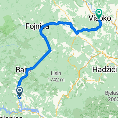 Buturovic polje-fojnica-visoko
- Distance
- 64.1 km
- Ascent
- 995 m
- Descent
- 841 m
- Location
- Jablanica, Federation of Bosnia and Herzegovina, Bosnia and Herzegovina
 Munika-Čvrsnica
- Distance
- 28.1 km
- Ascent
- 967 m
- Descent
- 132 m
- Location
- Jablanica, Federation of Bosnia and Herzegovina, Bosnia and Herzegovina
 krug oko Čvrsnice, Čabulje i Prenja
- Distance
- 171.8 km
- Ascent
- 2,541 m
- Descent
- 2,552 m
- Location
- Jablanica, Federation of Bosnia and Herzegovina, Bosnia and Herzegovina
Open it in the app