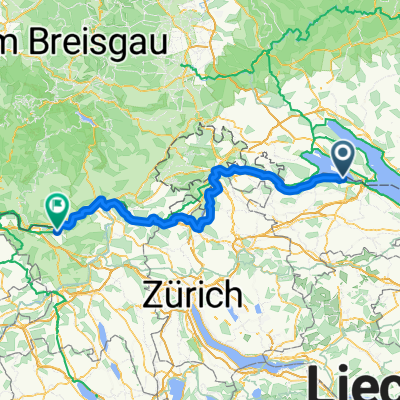

Route nach Stein am Rhein
- 20.9 km
- 324 m
- 326 m
- Ermatingen, Thurgau, Switzerland
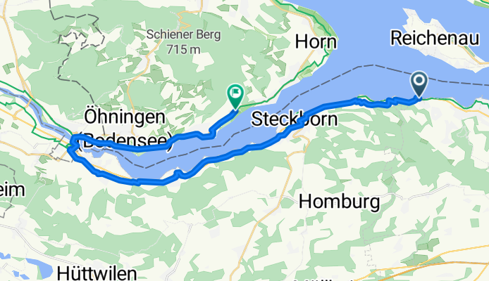
Von Konstanz bis Steckborn
A cycling route starting in Ermatingen, Thurgau, Switzerland.
Overview
created this 4 months ago
Part of
4 stages
Route quality
Quiet road
9.8 km
(37 %)
Path
6.6 km
(25 %)
Paved
25.6 km
(97 %)
Unpaved
0.5 km
(2 %)
Asphalt
23.2 km
(88 %)
Paved (undefined)
2.4 km
(9 %)
Continue with Bikemap
You would like to ride Von Mannenbach bis Öhningen or customize it for your own trip? Here is what you can do with this Bikemap route:
Free trial for 3 days, or one-time payment. More about Bikemap Premium.
Discover more Premium features.
Get Bikemap PremiumFrom our community
Open it in the app