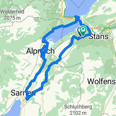


Stans-Bürgenstock-PilatusWerke-Stans
- 15.9 km
- 508 m
- 507 m
- Stans, Canton of Nidwalden, Switzerland
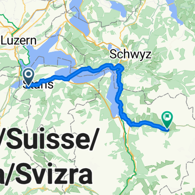
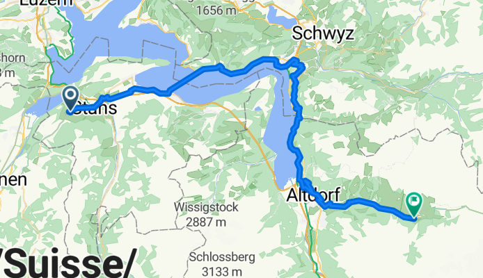
Bern - Beckenried
A cycling route starting in Stans, Canton of Nidwalden, Switzerland.
Overview
created this 4 months ago
Part of
4 stages
Route quality
Quiet road
17.9 km
(28 %)
Cycleway
9.6 km
(15 %)
Paved
41.5 km
(65 %)
Unpaved
4.5 km
(7 %)
Asphalt
40.2 km
(63 %)
Gravel
4.5 km
(7 %)
Continue with Bikemap
You would like to ride Sarnen - Beckenried or customize it for your own trip? Here is what you can do with this Bikemap route:
Free trial for 3 days, or one-time payment. More about Bikemap Premium.
Discover more Premium features.
Get Bikemap PremiumFrom our community
Open it in the app