
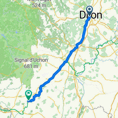
Pouilly-en-Auxois - Corpeau
- 130.3 km
- 863 m
- 840 m
- Dijon, Bourgogne-Franche-Comté, France
A cycling route starting in Dijon, Bourgogne-Franche-Comté, France.
Overview
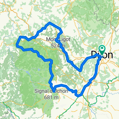
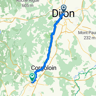
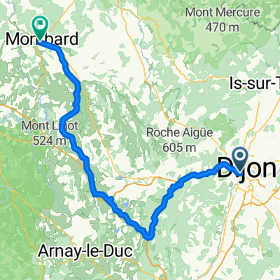
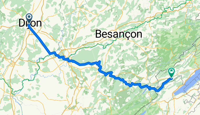
De Dijon à Môtiers en 2 jours par les véloroutes du Canal de Bourgogne et Eurovelo 6, puis des petites routes. Attention : la montée entre Salins-les Bains et Clucy comprend 4 km sur sentier caillouteux très raide, où le vélo doit être poussé en permanence ! Si c'était à refaire, je passerais par ailleurs - mais attention au trafic sur les routes principales ! La région de Pontarlier est un véritable enfer à bagnoles, tout à fait détestable.
created this 4 months ago


Route quality
Road
67.5 km
(35 %)
Cycleway
34.7 km
(18 %)
Paved
125.3 km
(65 %)
Unpaved
7.7 km
(4 %)
Asphalt
117.6 km
(61 %)
Paved (undefined)
7.7 km
(4 %)
Route highlights
Camping
Continue with Bikemap
You would like to ride Dijon - Môtiers or customize it for your own trip? Here is what you can do with this Bikemap route:
Free trial for 3 days, or one-time payment. More about Bikemap Premium.
Discover more Premium features.
Get Bikemap PremiumFrom our community
Open it in the app