


Wandern Rettershof Runde
- 19.9 km
- 482 m
- 482 m
- Königstein im Taunus, Hesse, Germany
A cycling route starting in Königstein im Taunus, Hesse, Germany.
Overview
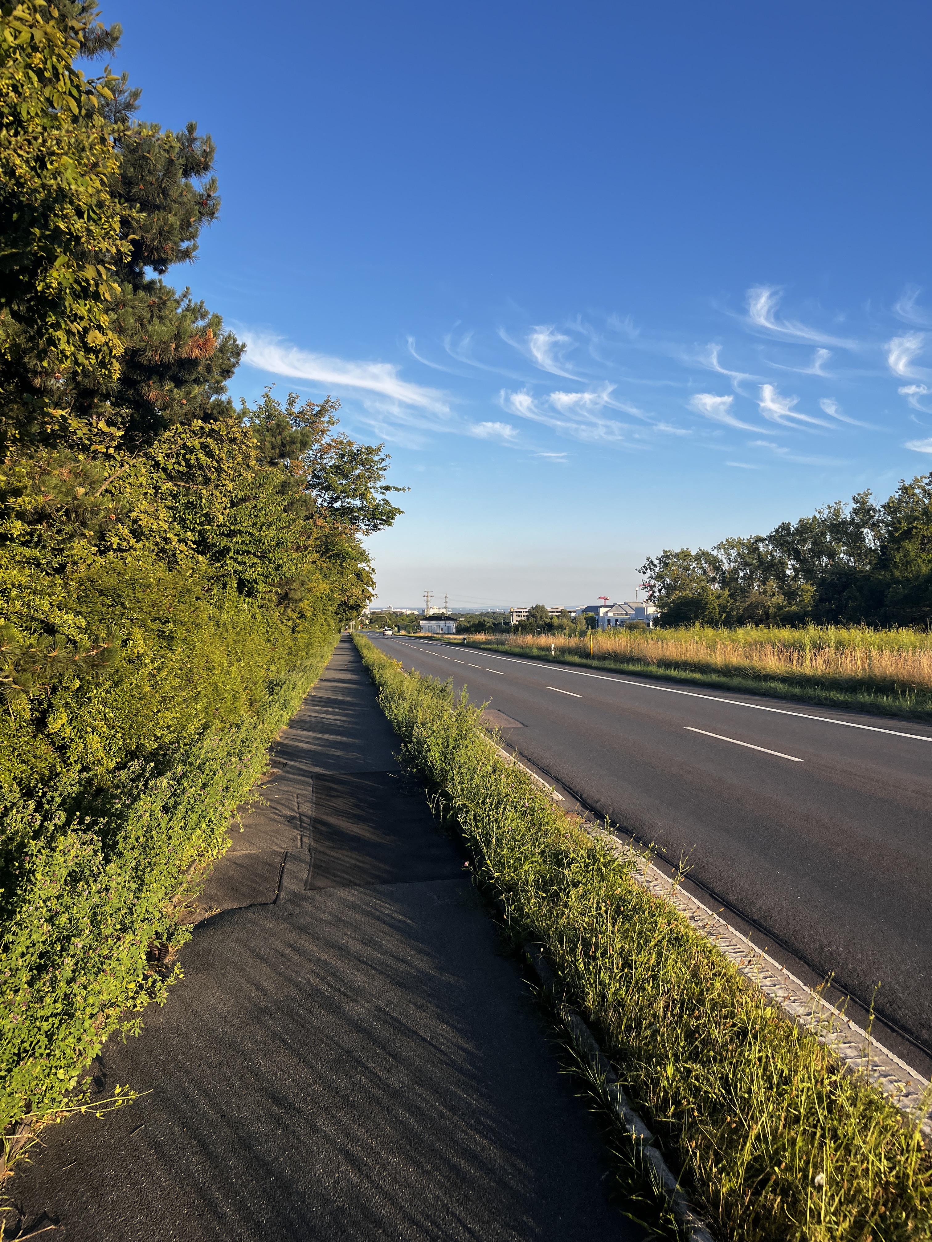
Tough Taunus loop. Through Feldberg & Bad Soden. Start and finish are in Königstein.
Route quality
Road
6.8 km
(9 %)
Quiet road
4.5 km
(6 %)
Paved
58.7 km
(78 %)
Unpaved
6 km
(8 %)
Asphalt
58.7 km
(78 %)
Gravel
3 km
(4 %)
Continue with Bikemap
You would like to ride kleine Taunus Runde or customize it for your own trip? Here is what you can do with this Bikemap route:
Free trial for 3 days, or one-time payment. More about Bikemap Premium.
Discover more Premium features.
Get Bikemap PremiumFrom our community
Open it in the app


![[WeMo] Grosse 8, 2x>20%, 53km,<1200hm](https://media.bikemap.net/routes/2199061/staticmaps/in_a0f6eff3-fb3a-4c37-aa81-0a4f376c5f7b_400x400_bikemap-2021-3D-static.png)
![[wemo] 2010 herbstrunde mittel](https://media.bikemap.net/routes/705212/staticmaps/in_e7bbd560-6784-4354-8db0-64da8be83496_400x400_bikemap-2021-3D-static.png)
