

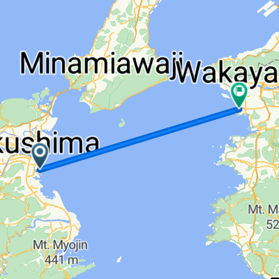
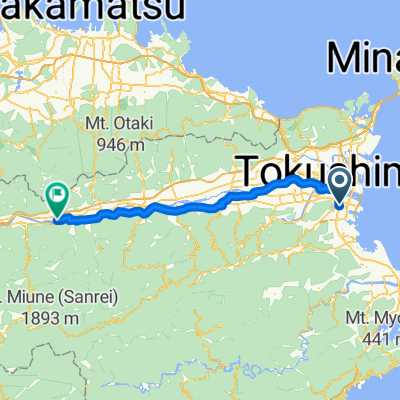
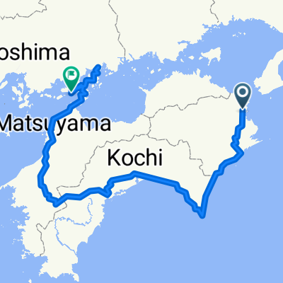
Tokushima - Nagasaki
A cycling route starting in Tokushima, Tokushima, Japan.
Overview
About this route
- -:--
- Duration
- 1,455.9 km
- Distance
- 2,865 m
- Ascent
- 2,867 m
- Descent
- ---
- Avg. speed
- ---
- Max. altitude
Continue with Bikemap
Use, edit, or download this cycling route
You would like to ride Tokushima - Nagasaki or customize it for your own trip? Here is what you can do with this Bikemap route:
Free features
- Save this route as favorite or in collections
- Copy & plan your own version of this route
- Split it into stages to create a multi-day tour
- Sync your route with Garmin or Wahoo
Premium features
Free trial for 3 days, or one-time payment. More about Bikemap Premium.
- Navigate this route on iOS & Android
- Export a GPX / KML file of this route
- Create your custom printout (try it for free)
- Download this route for offline navigation
Discover more Premium features.
Get Bikemap PremiumFrom our community
Other popular routes starting in Tokushima
 Tour de Shikoku
- Distance
- 792.2 km
- Ascent
- 1,519 m
- Descent
- 1,517 m
- Location
- Tokushima, Tokushima, Japan
 Route in Matsuyama
- Distance
- 54.6 km
- Ascent
- 0 m
- Descent
- 0 m
- Location
- Tokushima, Tokushima, Japan
 Phase 2: Tokushima - Mimacho
- Distance
- 64 km
- Ascent
- 88 m
- Descent
- 29 m
- Location
- Tokushima, Tokushima, Japan
 Japan 1a
- Distance
- 72.4 km
- Ascent
- 531 m
- Descent
- 533 m
- Location
- Tokushima, Tokushima, Japan
 Saiwaicho 2-Chōme, Tokushima to Higashisakuramachi, Fukuyama
- Distance
- 165.6 km
- Ascent
- 1,846 m
- Descent
- 1,839 m
- Location
- Tokushima, Tokushima, Japan
 4guo
4guo- Distance
- 991.3 km
- Ascent
- 1,801 m
- Descent
- 1,800 m
- Location
- Tokushima, Tokushima, Japan
 Naruto-Hiketa
- Distance
- 88.7 km
- Ascent
- 571 m
- Descent
- 569 m
- Location
- Tokushima, Tokushima, Japan
 Japan IV
- Distance
- 636.6 km
- Ascent
- 1,462 m
- Descent
- 1,467 m
- Location
- Tokushima, Tokushima, Japan
Open it in the app