
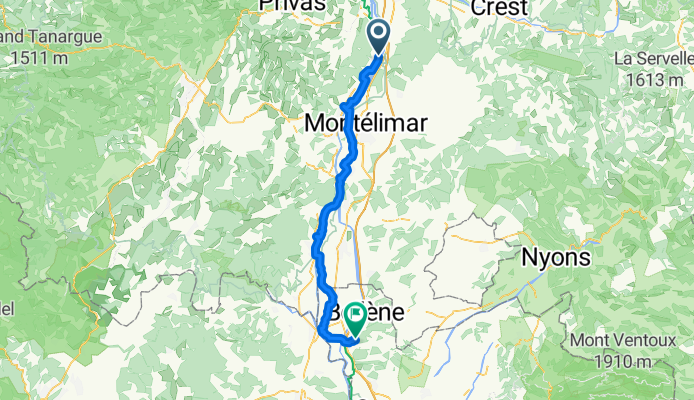
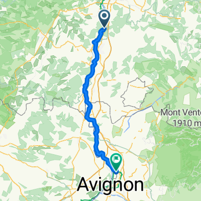
Mornas - Jonquières-Saint-Vincent
A cycling route starting in Cruas, Auvergne-Rhône-Alpes, France.
Overview
About this route
- 3 h 46 min
- Duration
- 65.6 km
- Distance
- 231 m
- Ascent
- 246 m
- Descent
- 17.4 km/h
- Avg. speed
- 94 m
- Max. altitude

Route quality
Waytypes & surfaces along the route
Waytypes
Cycleway
33.5 km
(51 %)
Quiet road
24.9 km
(38 %)
Surfaces
Paved
54.4 km
(83 %)
Asphalt
53.1 km
(81 %)
Concrete
1.3 km
(2 %)
Undefined
11.2 km
(17 %)
Continue with Bikemap
Use, edit, or download this cycling route
You would like to ride Mornas - Jonquières-Saint-Vincent or customize it for your own trip? Here is what you can do with this Bikemap route:
Free features
- Save this route as favorite or in collections
- Copy & plan your own version of this route
- Sync your route with Garmin or Wahoo
Premium features
Free trial for 3 days, or one-time payment. More about Bikemap Premium.
- Navigate this route on iOS & Android
- Export a GPX / KML file of this route
- Create your custom printout (try it for free)
- Download this route for offline navigation
Discover more Premium features.
Get Bikemap PremiumFrom our community
Other popular routes starting in Cruas
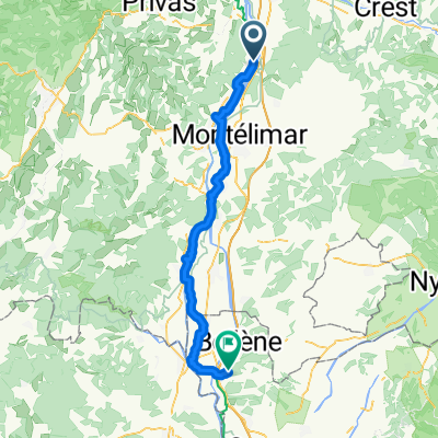 Mornas - Jonquières-Saint-Vincent
- Distance
- 65.6 km
- Ascent
- 231 m
- Descent
- 246 m
- Location
- Cruas, Auvergne-Rhône-Alpes, France
 Route Nationale de Paris, Les Tourrettes to 1 Place Émile Loubet, Montelimar
- Distance
- 15.3 km
- Ascent
- 221 m
- Descent
- 227 m
- Location
- Cruas, Auvergne-Rhône-Alpes, France
 Montelimar to Vaison
- Distance
- 67.2 km
- Ascent
- 600 m
- Descent
- 481 m
- Location
- Cruas, Auvergne-Rhône-Alpes, France
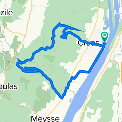 Cruas Bike
- Distance
- 22.6 km
- Ascent
- 519 m
- Descent
- 518 m
- Location
- Cruas, Auvergne-Rhône-Alpes, France
 From Cruas to Tain-l'Hermitage
- Distance
- 65.1 km
- Ascent
- 288 m
- Descent
- 247 m
- Location
- Cruas, Auvergne-Rhône-Alpes, France
 Rhone Tag 6
- Distance
- 26.7 km
- Ascent
- 221 m
- Descent
- 208 m
- Location
- Cruas, Auvergne-Rhône-Alpes, France
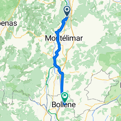 Cruas - Bollène
- Distance
- 52.2 km
- Ascent
- 48 m
- Descent
- 46 m
- Location
- Cruas, Auvergne-Rhône-Alpes, France
 Cruas - Sorgues
- Distance
- 98.1 km
- Ascent
- 232 m
- Descent
- 290 m
- Location
- Cruas, Auvergne-Rhône-Alpes, France
Open it in the app