Árpád utca, Cegléd - Mizsei út, Cegléd
A cycling route starting in Cegléd, Pest megye, Hungary.
Overview
About this route
- 1 h 28 min
- Duration
- 29.2 km
- Distance
- 68 m
- Ascent
- 70 m
- Descent
- 19.9 km/h
- Avg. speed
- 142 m
- Max. altitude
Route photos
Route quality
Waytypes & surfaces along the route
Waytypes
Cycleway
10.9 km
(37 %)
Quiet road
6.4 km
(22 %)
Surfaces
Paved
19.2 km
(66 %)
Unpaved
4.7 km
(16 %)
Asphalt
18.7 km
(64 %)
Gravel
2.2 km
(8 %)
Continue with Bikemap
Use, edit, or download this cycling route
You would like to ride Árpád utca, Cegléd - Mizsei út, Cegléd or customize it for your own trip? Here is what you can do with this Bikemap route:
Free features
- Save this route as favorite or in collections
- Copy & plan your own version of this route
- Sync your route with Garmin or Wahoo
Premium features
Free trial for 3 days, or one-time payment. More about Bikemap Premium.
- Navigate this route on iOS & Android
- Export a GPX / KML file of this route
- Create your custom printout (try it for free)
- Download this route for offline navigation
Discover more Premium features.
Get Bikemap PremiumFrom our community
Other popular routes starting in Cegléd
- Mizsei út, Cegléd - Mizsei út, Cegléd
- Distance
- 50.6 km
- Ascent
- 103 m
- Descent
- 104 m
- Location
- Cegléd, Pest megye, Hungary
- Cegléd - Mátra
- Distance
- 241.8 km
- Ascent
- 1,468 m
- Descent
- 1,468 m
- Location
- Cegléd, Pest megye, Hungary
- Edzőkör
- Distance
- 66.1 km
- Ascent
- 19 m
- Descent
- 20 m
- Location
- Cegléd, Pest megye, Hungary
- Árpád utca, Cegléd - Mizsei út, Cegléd
- Distance
- 29.2 km
- Ascent
- 68 m
- Descent
- 70 m
- Location
- Cegléd, Pest megye, Hungary
- Mizsei út, Cegléd - Mizsei út, Cegléd
- Distance
- 57.4 km
- Ascent
- 149 m
- Descent
- 147 m
- Location
- Cegléd, Pest megye, Hungary
- TdH2018 Stage3 Cegled-Hajduszoboszlo ver2
- Distance
- 191.2 km
- Ascent
- 50 m
- Descent
- 61 m
- Location
- Cegléd, Pest megye, Hungary
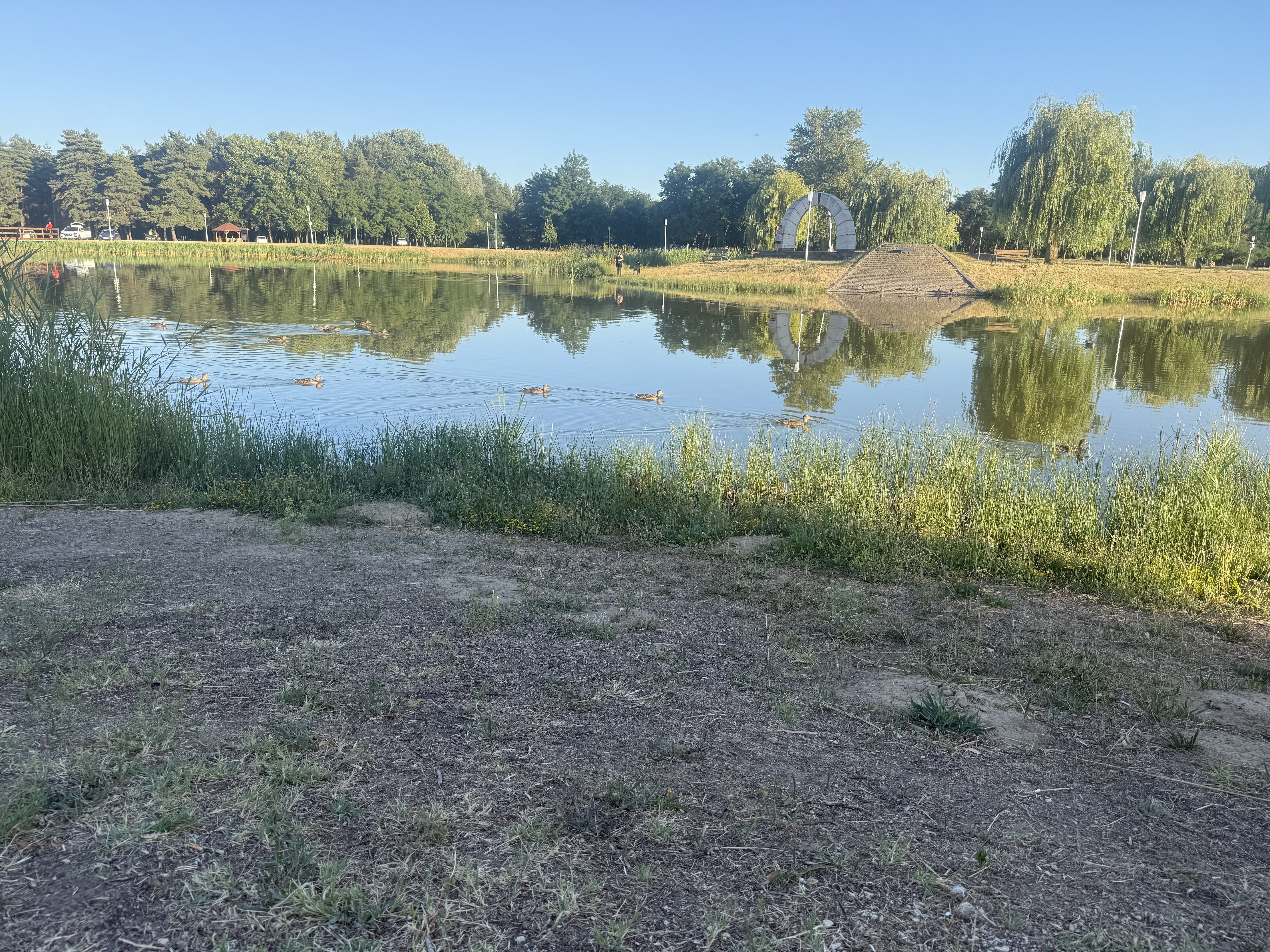
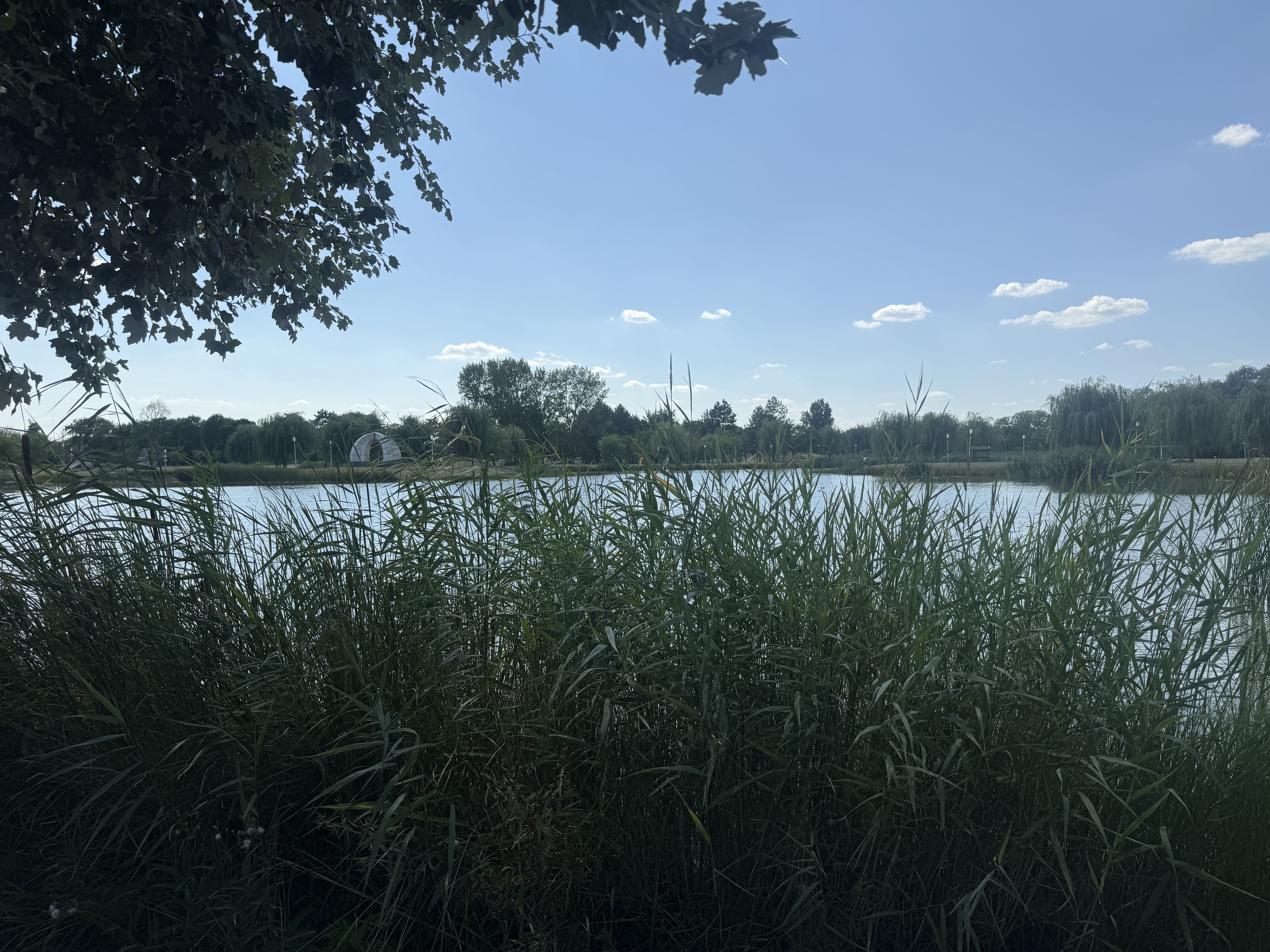
- Cegléd - Budai út strand 2
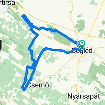
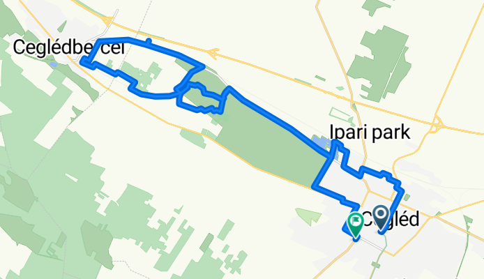
- Distance
- 17 km
- Ascent
- 22 m
- Descent
- 21 m
- Location
- Cegléd, Pest megye, Hungary
- TTJ Tápiómente
- Distance
- 115 km
- Ascent
- 237 m
- Descent
- 196 m
- Location
- Cegléd, Pest megye, Hungary
Open it in the app