
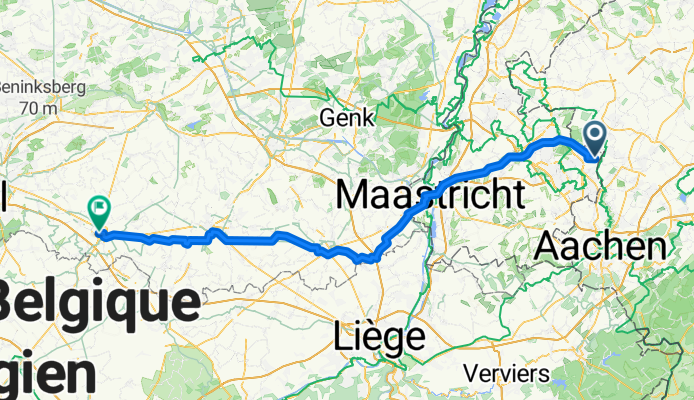
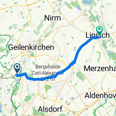
07 Landgraaf - Tienen (102 km)
A cycling route starting in Übach-Palenberg, North Rhine-Westphalia, Germany.
Overview
About this route
- 6 h 9 min
- Duration
- 102.9 km
- Distance
- 543 m
- Ascent
- 628 m
- Descent
- 16.7 km/h
- Avg. speed
- 150 m
- Max. altitude

Route quality
Waytypes & surfaces along the route
Waytypes
Quiet road
43.2 km
(42 %)
Cycleway
43.2 km
(42 %)
Surfaces
Paved
66.9 km
(65 %)
Concrete
32.9 km
(32 %)
Asphalt
28.8 km
(28 %)
Continue with Bikemap
Use, edit, or download this cycling route
You would like to ride 07 Landgraaf - Tienen (102 km) or customize it for your own trip? Here is what you can do with this Bikemap route:
Free features
- Save this route as favorite or in collections
- Copy & plan your own version of this route
- Split it into stages to create a multi-day tour
- Sync your route with Garmin or Wahoo
Premium features
Free trial for 3 days, or one-time payment. More about Bikemap Premium.
- Navigate this route on iOS & Android
- Export a GPX / KML file of this route
- Create your custom printout (try it for free)
- Download this route for offline navigation
Discover more Premium features.
Get Bikemap PremiumFrom our community
Other popular routes starting in Übach-Palenberg
 worm-heuvel route
- Distance
- 41.7 km
- Ascent
- 91 m
- Descent
- 92 m
- Location
- Übach-Palenberg, North Rhine-Westphalia, Germany
 Route nach Apweilerstraße, Geilenkirchen
- Distance
- 9 km
- Ascent
- 51 m
- Descent
- 60 m
- Location
- Übach-Palenberg, North Rhine-Westphalia, Germany
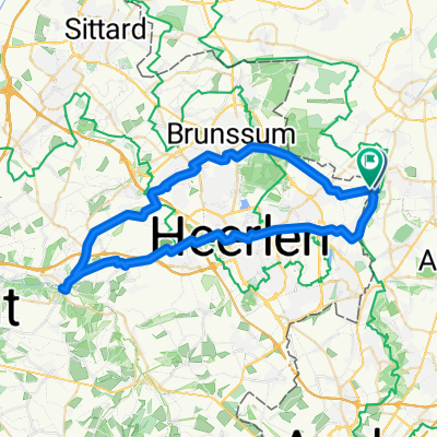 Route in Landgraaf
- Distance
- 51.2 km
- Ascent
- 342 m
- Descent
- 343 m
- Location
- Übach-Palenberg, North Rhine-Westphalia, Germany
 Übach-Palenberg nach Auf der Höhe, Übach-Palenberg
- Distance
- 0.9 km
- Ascent
- 0 m
- Descent
- 0 m
- Location
- Übach-Palenberg, North Rhine-Westphalia, Germany
 In der Gehölde, Übach-Palenberg nach Schwarzer Weg, Linnich
- Distance
- 17.8 km
- Ascent
- 78 m
- Descent
- 129 m
- Location
- Übach-Palenberg, North Rhine-Westphalia, Germany
 Osterroute-Hendrik-2023-Maastricht_B
- Distance
- 40.5 km
- Ascent
- 310 m
- Descent
- 344 m
- Location
- Übach-Palenberg, North Rhine-Westphalia, Germany
 In der Gehölde, Übach-Palenberg nach Schwarzer Weg, Linnich
- Distance
- 16.5 km
- Ascent
- 50 m
- Descent
- 98 m
- Location
- Übach-Palenberg, North Rhine-Westphalia, Germany
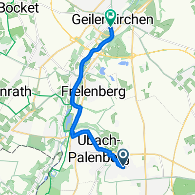 Thornstraße, Übach-Palenberg nach Herzog-Wilhelm-Straße, Geilenkirchen
- Distance
- 7.9 km
- Ascent
- 11 m
- Descent
- 62 m
- Location
- Übach-Palenberg, North Rhine-Westphalia, Germany
Open it in the app