
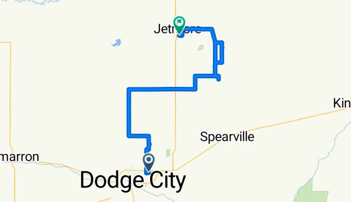
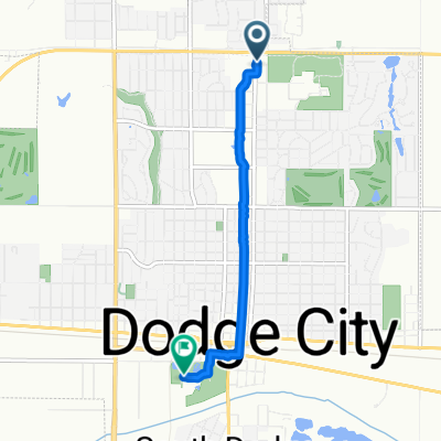
Airport Road to East South Street
A cycling route starting in Dodge City, Kansas, United States.
Overview
About this route
- 50 min
- Duration
- 97.3 km
- Distance
- 423 m
- Ascent
- 508 m
- Descent
- 115.9 km/h
- Avg. speed
- 794 m
- Max. altitude

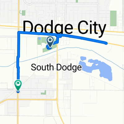
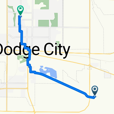
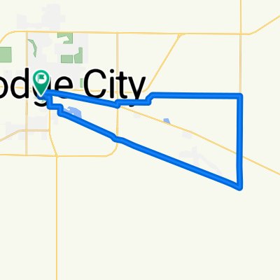
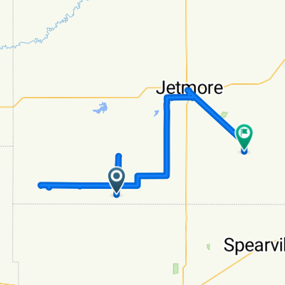
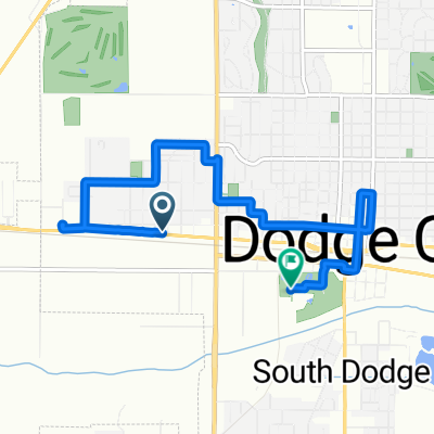
Route photos

Continue with Bikemap
Use, edit, or download this cycling route
You would like to ride Airport Road to East South Street or customize it for your own trip? Here is what you can do with this Bikemap route:
Free features
- Save this route as favorite or in collections
- Copy & plan your own version of this route
- Split it into stages to create a multi-day tour
- Sync your route with Garmin or Wahoo
Premium features
Free trial for 3 days, or one-time payment. More about Bikemap Premium.
- Navigate this route on iOS & Android
- Export a GPX / KML file of this route
- Create your custom printout (try it for free)
- Download this route for offline navigation
Discover more Premium features.
Get Bikemap PremiumFrom our community
Other popular routes starting in Dodge City
 USA CC 23
- Distance
- 137.9 km
- Ascent
- 33 m
- Descent
- 232 m
- Location
- Dodge City, Kansas, United States
 4th Avenue to Harris Avenue
- Distance
- 7.3 km
- Ascent
- 40 m
- Descent
- 3 m
- Location
- Dodge City, Kansas, United States
 Lariat Place to 6th Avenue
- Distance
- 8.6 km
- Ascent
- 54 m
- Descent
- 7 m
- Location
- Dodge City, Kansas, United States
 Park Street to Park Street
- Distance
- 29.8 km
- Ascent
- 85 m
- Descent
- 52 m
- Location
- Dodge City, Kansas, United States
 Central Avenue to Park Street
- Distance
- 4.7 km
- Ascent
- 44 m
- Descent
- 39 m
- Location
- Dodge City, Kansas, United States
 Route to Road
- Distance
- 84 km
- Ascent
- 226 m
- Descent
- 293 m
- Location
- Dodge City, Kansas, United States
- Airport Road to East South Street
- Distance
- 97.3 km
- Ascent
- 423 m
- Descent
- 508 m
- Location
- Dodge City, Kansas, United States
 West Wyatt Earp Boulevard to Park Street
- Distance
- 7.7 km
- Ascent
- 92 m
- Descent
- 60 m
- Location
- Dodge City, Kansas, United States
Open it in the app