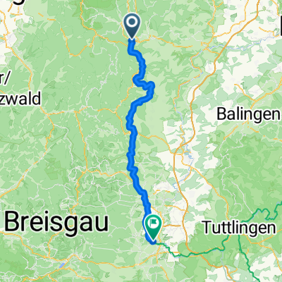

Von Freudenstadt bis Iffezheim
- 88 km
- 1,362 m
- 1,906 m
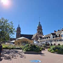
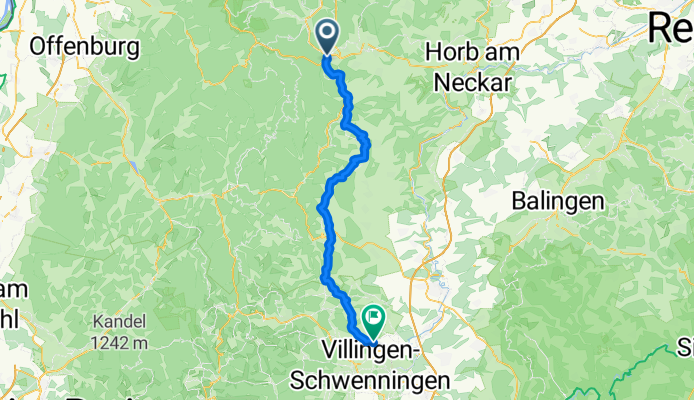
- Freudenstadt, Baden-Wurttemberg, Germany
A cycling route starting in Freudenstadt, Baden-Wurttemberg, Germany.
Overview
created this 4 months ago
Route quality
Quiet road
29 km
(49 %)
Track
13 km
(22 %)
Paved
45.6 km
(77 %)
Unpaved
4.7 km
(8 %)
Asphalt
36.1 km
(61 %)
Paved (undefined)
9.5 km
(16 %)
Continue with Bikemap
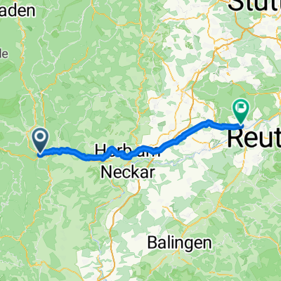
You would like to ride Von Freudenstadt bis Villingen-Schwenningen or customize it for your own trip? Here is what you can do with this Bikemap route:
Free trial for 3 days, or one-time payment. More about Bikemap Premium.
Discover more Premium features.
Get Bikemap PremiumFrom our community
Open it in the app