
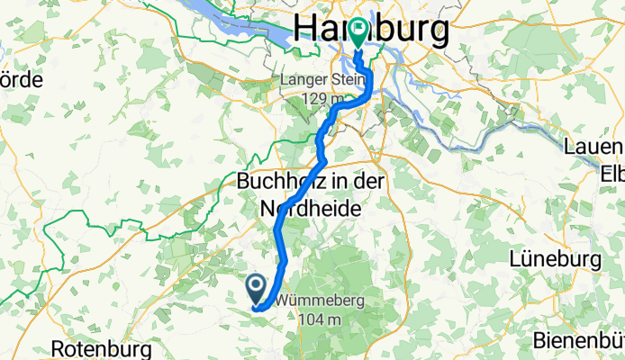
Schulberg nach Ellerholzrampe
A cycling route starting in Fintel, Lower Saxony, Germany.
Overview
About this route
- 2 h 43 min
- Duration
- 51.3 km
- Distance
- 263 m
- Ascent
- 362 m
- Descent
- 18.8 km/h
- Avg. speed
- 99 m
- Max. altitude
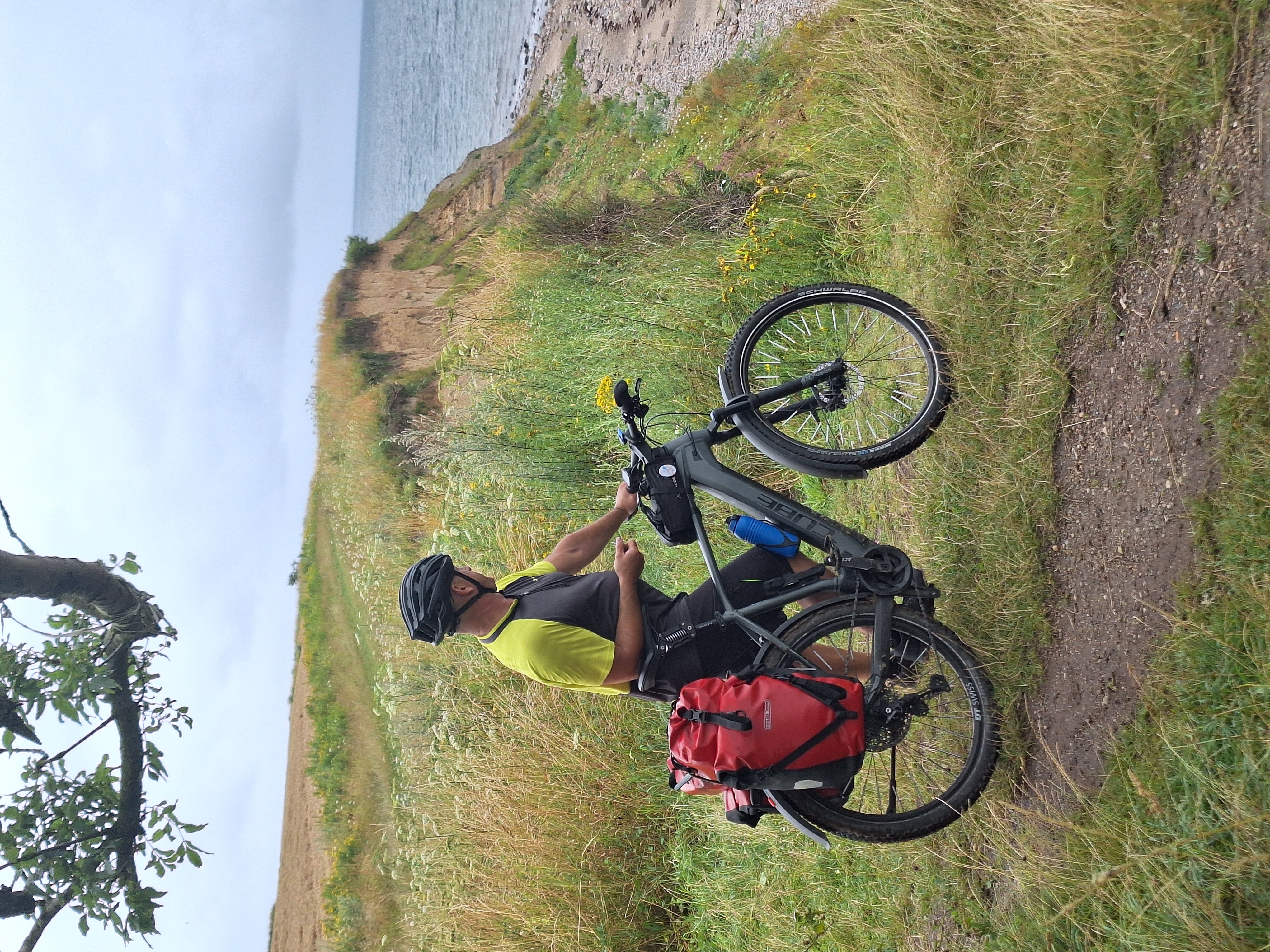
Route photos

Route quality
Waytypes & surfaces along the route
Waytypes
Path
23 km
(45 %)
Quiet road
15.8 km
(31 %)
Surfaces
Paved
44.3 km
(86 %)
Unpaved
2.3 km
(4 %)
Asphalt
39.8 km
(78 %)
Paving stones
3.6 km
(7 %)
Continue with Bikemap
Use, edit, or download this cycling route
You would like to ride Schulberg nach Ellerholzrampe or customize it for your own trip? Here is what you can do with this Bikemap route:
Free features
- Save this route as favorite or in collections
- Copy & plan your own version of this route
- Sync your route with Garmin or Wahoo
Premium features
Free trial for 3 days, or one-time payment. More about Bikemap Premium.
- Navigate this route on iOS & Android
- Export a GPX / KML file of this route
- Create your custom printout (try it for free)
- Download this route for offline navigation
Discover more Premium features.
Get Bikemap PremiumFrom our community
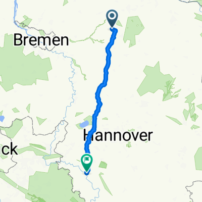
Other popular routes starting in Fintel
 Fintel Heide Meinersen
- Distance
- 145.5 km
- Ascent
- 196 m
- Descent
- 187 m
- Location
- Fintel, Lower Saxony, Germany
 Hedi und zurück
- Distance
- 24.2 km
- Ascent
- 67 m
- Descent
- 66 m
- Location
- Fintel, Lower Saxony, Germany
 Fintel - Brockel
- Distance
- 17.5 km
- Ascent
- 28 m
- Descent
- 41 m
- Location
- Fintel, Lower Saxony, Germany
 lauenbrück
- Distance
- 35.5 km
- Ascent
- 147 m
- Descent
- 147 m
- Location
- Fintel, Lower Saxony, Germany
 Mühlenrunde
- Distance
- 37.6 km
- Ascent
- 117 m
- Descent
- 116 m
- Location
- Fintel, Lower Saxony, Germany
 K221 10, Fintel nach Steigerturm 4, Hameln
- Distance
- 142.6 km
- Ascent
- 1,222 m
- Descent
- 1,198 m
- Location
- Fintel, Lower Saxony, Germany
 Schneverdingen 2
- Distance
- 10.2 km
- Ascent
- 74 m
- Descent
- 33 m
- Location
- Fintel, Lower Saxony, Germany
- Schulberg nach Ellerholzrampe
- Distance
- 51.3 km
- Ascent
- 263 m
- Descent
- 362 m
- Location
- Fintel, Lower Saxony, Germany
Open it in the app