
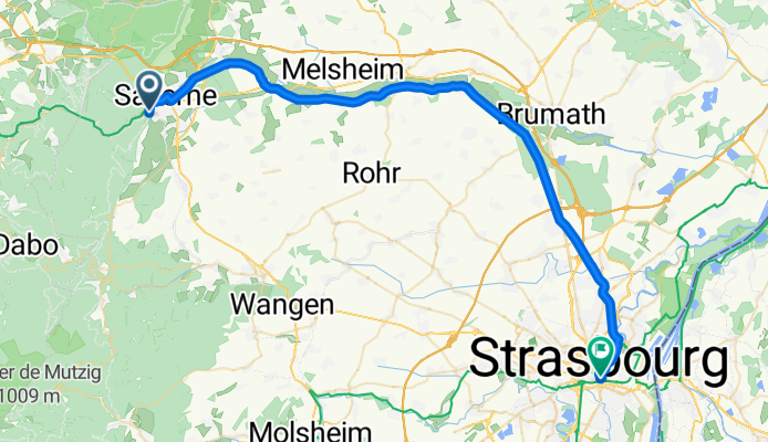
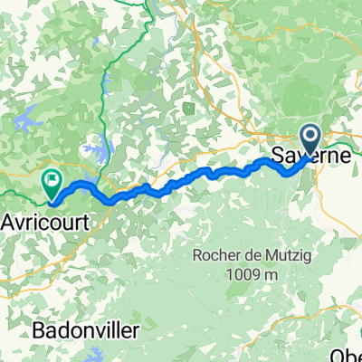
Saverne - Strasbourg
A cycling route starting in Saverne, Grand Est, France.
Overview
About this route
- 2 h 46 min
- Duration
- 48.1 km
- Distance
- 146 m
- Ascent
- 280 m
- Descent
- 17.4 km/h
- Avg. speed
- 281 m
- Max. altitude

Route quality
Waytypes & surfaces along the route
Waytypes
Cycleway
34.1 km
(71 %)
Path
7.7 km
(16 %)
Surfaces
Paved
45.7 km
(95 %)
Asphalt
45.7 km
(95 %)
Undefined
2.4 km
(5 %)
Continue with Bikemap
Use, edit, or download this cycling route
You would like to ride Saverne - Strasbourg or customize it for your own trip? Here is what you can do with this Bikemap route:
Free features
- Save this route as favorite or in collections
- Copy & plan your own version of this route
- Sync your route with Garmin or Wahoo
Premium features
Free trial for 3 days, or one-time payment. More about Bikemap Premium.
- Navigate this route on iOS & Android
- Export a GPX / KML file of this route
- Create your custom printout (try it for free)
- Download this route for offline navigation
Discover more Premium features.
Get Bikemap PremiumFrom our community
Other popular routes starting in Saverne
 2ème étape Crête des Vosges
- Distance
- 127.9 km
- Ascent
- 2,107 m
- Descent
- 1,758 m
- Location
- Saverne, Grand Est, France
 Saverne - Steinach
- Distance
- 95.8 km
- Ascent
- 324 m
- Descent
- 320 m
- Location
- Saverne, Grand Est, France
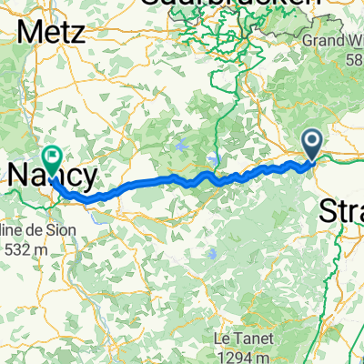 Tag 15 : Rue des Églises, Saverne nach Rue du Pont Mouja, Nancy
- Distance
- 109.2 km
- Ascent
- 638 m
- Descent
- 642 m
- Location
- Saverne, Grand Est, France
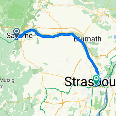 Saverne - Strasbourg
- Distance
- 48.1 km
- Ascent
- 146 m
- Descent
- 280 m
- Location
- Saverne, Grand Est, France
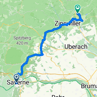 Elsass Tag 6 Saverne - Bad Niederbronn
- Distance
- 46.6 km
- Ascent
- 694 m
- Descent
- 688 m
- Location
- Saverne, Grand Est, France
 Rue du Haut-Barr, Saverne nach Rue de la 1ère Armée, Straßburg
- Distance
- 53.2 km
- Ascent
- 93 m
- Descent
- 232 m
- Location
- Saverne, Grand Est, France
 Zabern - Lorquin
- Distance
- 52.6 km
- Ascent
- 565 m
- Descent
- 523 m
- Location
- Saverne, Grand Est, France
 From Saverne to Héming
- Distance
- 38.7 km
- Ascent
- 507 m
- Descent
- 444 m
- Location
- Saverne, Grand Est, France
Open it in the app