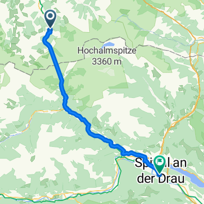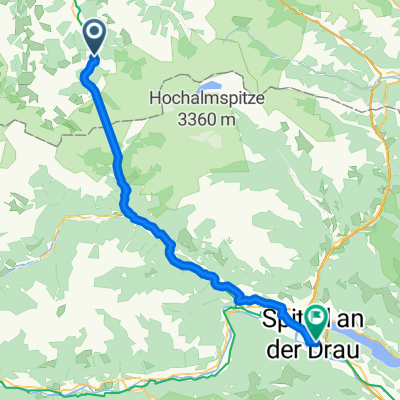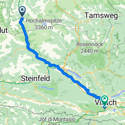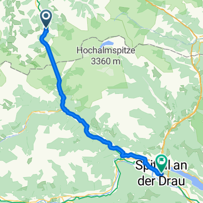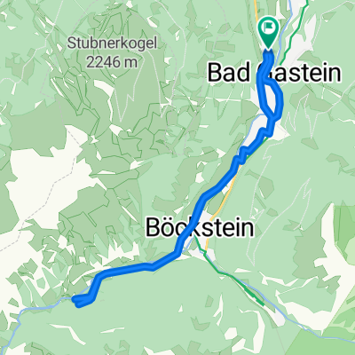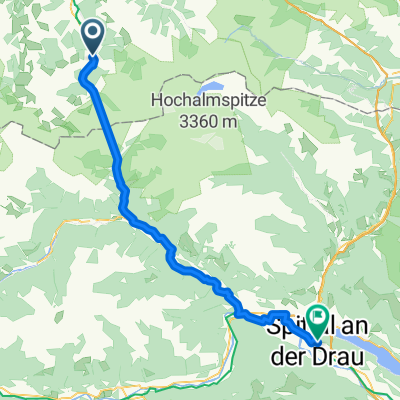
From Bad Gastein to Spittal an der Drau
- 59.4 km
- 724 m
- 1,196 m
- Bad Gastein, Salzburg, Austria
A cycling route starting in Bad Gastein, Salzburg, Austria.
Overview
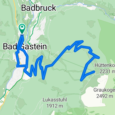
Due to the train loading, the route starts in Böckstein is usually in Bruck Bruck - Grossglockner-Heiligenblut-Winklern-Obervellach-Mallnitz-Tauernschleuse -Böckstein-Gasteinertal-Taxenbach-Bruck
created this 13 years ago
Route quality
Road
40.1 km
(26 %)
Cycleway
21.6 km
(14 %)
Paved
95.5 km
(62 %)
Asphalt
95.5 km
(62 %)
Undefined
58.5 km
(38 %)
Continue with Bikemap
You would like to ride Grossglocknerrunde or customize it for your own trip? Here is what you can do with this Bikemap route:
Free trial for 3 days, or one-time payment. More about Bikemap Premium.
Discover more Premium features.
Get Bikemap PremiumFrom our community
Open it in the app