
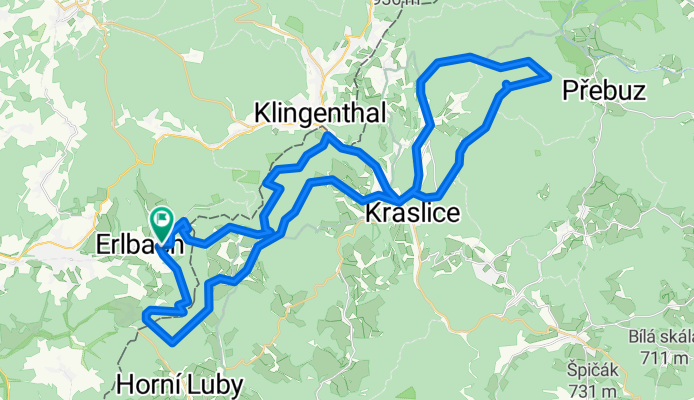
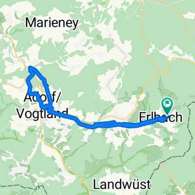
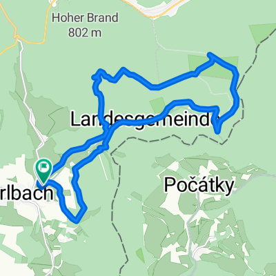
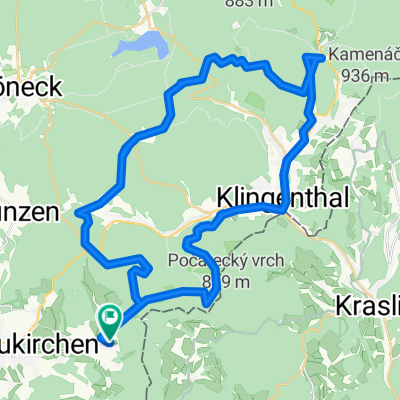
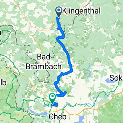
Erlbach_Hoher Stein_Spitzberg_Erlbach
A cycling route starting in Erlbach, Saxony, Germany.
Overview
About this route
Knackige Runde mit viel Panoramablick und einigen Trail-Sektionen. Alles fahrbar, wenn mann in der gleichen Richtung fährt.
Ca. 1.200 hm.
Viel Spaß beim nachfahren.
- -:--
- Duration
- 55 km
- Distance
- 1,094 m
- Ascent
- 1,085 m
- Descent
- ---
- Avg. speed
- ---
- Max. altitude
Route quality
Waytypes & surfaces along the route
Waytypes
Track
32 km
(58 %)
Road
9.8 km
(18 %)
Surfaces
Paved
14.5 km
(26 %)
Unpaved
28.1 km
(51 %)
Gravel
15.9 km
(29 %)
Asphalt
9 km
(16 %)
Continue with Bikemap
Use, edit, or download this cycling route
You would like to ride Erlbach_Hoher Stein_Spitzberg_Erlbach or customize it for your own trip? Here is what you can do with this Bikemap route:
Free features
- Save this route as favorite or in collections
- Copy & plan your own version of this route
- Sync your route with Garmin or Wahoo
Premium features
Free trial for 3 days, or one-time payment. More about Bikemap Premium.
- Navigate this route on iOS & Android
- Export a GPX / KML file of this route
- Create your custom printout (try it for free)
- Download this route for offline navigation
Discover more Premium features.
Get Bikemap PremiumFrom our community
Other popular routes starting in Erlbach
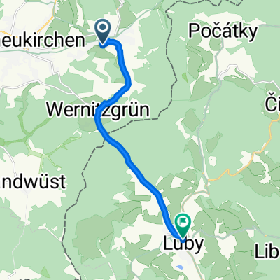 luby rad
- Distance
- 8.7 km
- Ascent
- 200 m
- Descent
- 205 m
- Location
- Erlbach, Saxony, Germany
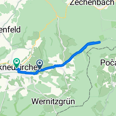 Hochgeschwindigkeitsroute in Markneukirchen
- Distance
- 11.1 km
- Ascent
- 159 m
- Descent
- 116 m
- Location
- Erlbach, Saxony, Germany
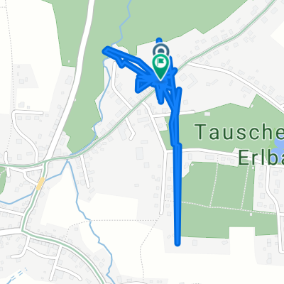 Klingenthaler Straße nach Klingenthaler Straße
- Distance
- 4.2 km
- Ascent
- 159 m
- Descent
- 193 m
- Location
- Erlbach, Saxony, Germany
 Erlbach - Freiberg
- Distance
- 27.1 km
- Ascent
- 242 m
- Descent
- 242 m
- Location
- Erlbach, Saxony, Germany
 Jagthütte-Floßteich-Lift
- Distance
- 15.4 km
- Ascent
- 337 m
- Descent
- 334 m
- Location
- Erlbach, Saxony, Germany
 markneukirchen - Plauen
- Distance
- 35.1 km
- Ascent
- 408 m
- Descent
- 539 m
- Location
- Erlbach, Saxony, Germany
 Lasselino
- Distance
- 47 km
- Ascent
- 730 m
- Descent
- 726 m
- Location
- Erlbach, Saxony, Germany
 Egerland Vogtland SooS Františkovy Lázně
- Distance
- 44.5 km
- Ascent
- 194 m
- Descent
- 492 m
- Location
- Erlbach, Saxony, Germany
Open it in the app