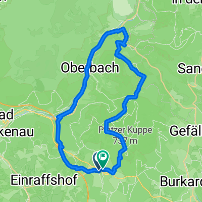
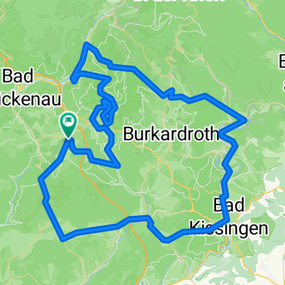
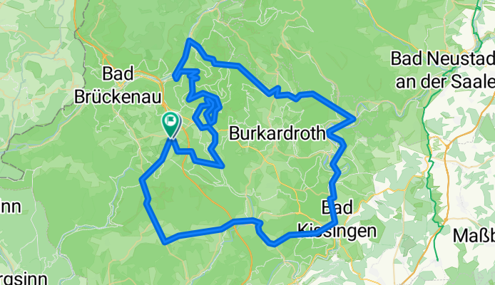
Rhön 300 - 100 km 1700 Hm
A cycling route starting in Schondra, Bavaria, Germany.
Overview
About this route
- 5 h 59 min
- Duration
- 100.6 km
- Distance
- 1,869 m
- Ascent
- 1,876 m
- Descent
- 16.8 km/h
- Avg. speed
- 761 m
- Max. altitude
Route photos
Route quality
Waytypes & surfaces along the route
Waytypes
Road
27.2 km
(27 %)
Quiet road
22.1 km
(22 %)
Surfaces
Paved
71.4 km
(71 %)
Unpaved
1 km
(1 %)
Asphalt
70.4 km
(70 %)
Paved (undefined)
1 km
(1 %)
Continue with Bikemap
Use, edit, or download this cycling route
You would like to ride Rhön 300 - 100 km 1700 Hm or customize it for your own trip? Here is what you can do with this Bikemap route:
Free features
- Save this route as favorite or in collections
- Copy & plan your own version of this route
- Split it into stages to create a multi-day tour
- Sync your route with Garmin or Wahoo
Premium features
Free trial for 3 days, or one-time payment. More about Bikemap Premium.
- Navigate this route on iOS & Android
- Export a GPX / KML file of this route
- Create your custom printout (try it for free)
- Download this route for offline navigation
Discover more Premium features.
Get Bikemap PremiumFrom our community
Other popular routes starting in Schondra
über Hammelburg nach Feuerthal- Distance
- 47.2 km
- Ascent
- 673 m
- Descent
- 677 m
- Location
- Schondra, Bavaria, Germany
Jubiläumstour 2. Probefahrt 7.5.18- Distance
- 114.8 km
- Ascent
- 1,007 m
- Descent
- 988 m
- Location
- Schondra, Bavaria, Germany
Oehrberg-Kreuzberg ü. Burkardroth 6.3.09- Distance
- 65.3 km
- Ascent
- 1,063 m
- Descent
- 1,078 m
- Location
- Schondra, Bavaria, Germany
Rhön 300 - 100 km 1700 Hm- Distance
- 100.6 km
- Ascent
- 1,869 m
- Descent
- 1,876 m
- Location
- Schondra, Bavaria, Germany
Droodeseldour 2017 -72KM- Distance
- 72.1 km
- Ascent
- 1,214 m
- Descent
- 1,214 m
- Location
- Schondra, Bavaria, Germany
Gemünderner Hütte über Steinach Sandberg- Distance
- 65.3 km
- Ascent
- 1,184 m
- Descent
- 1,179 m
- Location
- Schondra, Bavaria, Germany
Oehrberg, Schwarzes Moor, Bad Neustadt- Distance
- 121 km
- Ascent
- 1,375 m
- Descent
- 1,371 m
- Location
- Schondra, Bavaria, Germany
Versuch, den WH Weg zu fahren- Distance
- 133.4 km
- Ascent
- 1,028 m
- Descent
- 1,024 m
- Location
- Schondra, Bavaria, Germany
Open it in the app


