
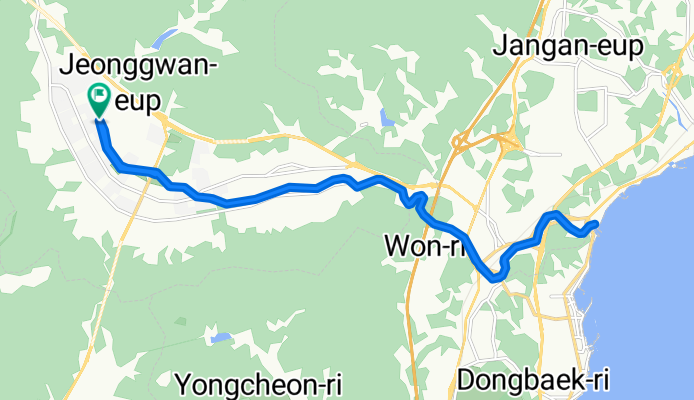
2025.8.3 10시20~12시 정관자전거길
A cycling route starting in Jangan, Busan, South Korea.
Overview
About this route
- 2 h 21 min
- Duration
- 23 km
- Distance
- 99 m
- Ascent
- 124 m
- Descent
- 9.8 km/h
- Avg. speed
- 104 m
- Max. altitude

Route photos


Continue with Bikemap
Use, edit, or download this cycling route
You would like to ride 2025.8.3 10시20~12시 정관자전거길 or customize it for your own trip? Here is what you can do with this Bikemap route:
Free features
- Save this route as favorite or in collections
- Copy & plan your own version of this route
- Sync your route with Garmin or Wahoo
Premium features
Free trial for 3 days, or one-time payment. More about Bikemap Premium.
- Navigate this route on iOS & Android
- Export a GPX / KML file of this route
- Create your custom printout (try it for free)
- Download this route for offline navigation
Discover more Premium features.
Get Bikemap PremiumFrom our community
Other popular routes starting in Jangan
 Ganjeolgot-Homigot-Ganjeolgot
- Distance
- 294.6 km
- Ascent
- 903 m
- Descent
- 904 m
- Location
- Jangan, Busan, South Korea
 정관읍 288-35 ~ 정관읍 1337
- Distance
- 8.2 km
- Ascent
- 57 m
- Descent
- 47 m
- Location
- Jangan, Busan, South Korea
 장안읍 220-2 to 서생역
- Distance
- 2.6 km
- Ascent
- 51 m
- Descent
- 49 m
- Location
- Jangan, Busan, South Korea
- 2025.8.3 10시20~12시 정관자전거길
- Distance
- 23 km
- Ascent
- 99 m
- Descent
- 124 m
- Location
- Jangan, Busan, South Korea
 Seosaeng-myeon 331 to Onsan-eup 267-16
- Distance
- 8.2 km
- Ascent
- 86 m
- Descent
- 74 m
- Location
- Jangan, Busan, South Korea
 Seosaeng-myeon 307-2 to Seosaeng-myeon 산9-10
- Distance
- 2 km
- Ascent
- 21 m
- Descent
- 12 m
- Location
- Jangan, Busan, South Korea
 정관면 1034−3 to 정관면 583
- Distance
- 6.1 km
- Ascent
- 45 m
- Descent
- 0 m
- Location
- Jangan, Busan, South Korea
 정관읍 1015, 부산광역시 to 서생면 28-12, 울산광역시
- Distance
- 26.9 km
- Ascent
- 522 m
- Descent
- 581 m
- Location
- Jangan, Busan, South Korea
Open it in the app