
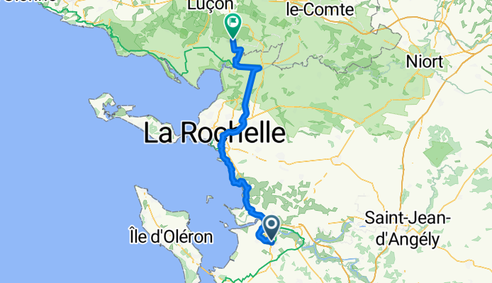
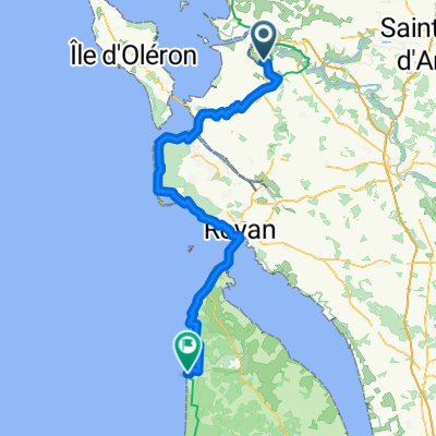
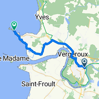
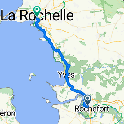
6 Clos Templiers - Rochefort
A cycling route starting in Rochefort, Nouvelle-Aquitaine, France.
Overview
About this route
- 5 h 6 min
- Duration
- 81.8 km
- Distance
- 109 m
- Ascent
- 109 m
- Descent
- 16 km/h
- Avg. speed
- 33 m
- Max. altitude

Route quality
Waytypes & surfaces along the route
Waytypes
Quiet road
31.9 km
(39 %)
Cycleway
20.5 km
(25 %)
Surfaces
Paved
37.6 km
(46 %)
Unpaved
18.8 km
(23 %)
Asphalt
37.6 km
(46 %)
Gravel
18.8 km
(23 %)
Undefined
25.4 km
(31 %)
Continue with Bikemap
Use, edit, or download this cycling route
You would like to ride 6 Clos Templiers - Rochefort or customize it for your own trip? Here is what you can do with this Bikemap route:
Free features
- Save this route as favorite or in collections
- Copy & plan your own version of this route
- Split it into stages to create a multi-day tour
- Sync your route with Garmin or Wahoo
Premium features
Free trial for 3 days, or one-time payment. More about Bikemap Premium.
- Navigate this route on iOS & Android
- Export a GPX / KML file of this route
- Create your custom printout (try it for free)
- Download this route for offline navigation
Discover more Premium features.
Get Bikemap PremiumFrom our community
Other popular routes starting in Rochefort
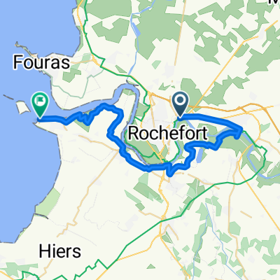 Rochefort - Port des Barques
- Distance
- 33.5 km
- Ascent
- 56 m
- Descent
- 55 m
- Location
- Rochefort, Nouvelle-Aquitaine, France
 De Quai aux Vivres à Place de l'Abbaye
- Distance
- 52.6 km
- Ascent
- 270 m
- Descent
- 314 m
- Location
- Rochefort, Nouvelle-Aquitaine, France
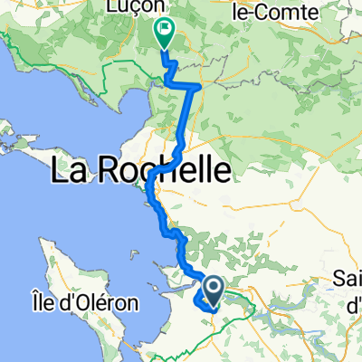 6 Clos Templiers - Rochefort
- Distance
- 81.8 km
- Ascent
- 109 m
- Descent
- 109 m
- Location
- Rochefort, Nouvelle-Aquitaine, France
 06 Rochefort to Chenac-Saint-Montalivet les Bains 110
- Distance
- 108.6 km
- Ascent
- 237 m
- Descent
- 230 m
- Location
- Rochefort, Nouvelle-Aquitaine, France
 Rochefort quai aux vivres Fouras
- Distance
- 19.9 km
- Ascent
- 48 m
- Descent
- 56 m
- Location
- Rochefort, Nouvelle-Aquitaine, France
 Marennes - La Rochelle
- Distance
- 35.7 km
- Ascent
- 54 m
- Descent
- 58 m
- Location
- Rochefort, Nouvelle-Aquitaine, France
 Etapa 015C (Rochefort - Le Rocher)
- Distance
- 134.8 km
- Ascent
- 162 m
- Descent
- 154 m
- Location
- Rochefort, Nouvelle-Aquitaine, France
 Rue Jean Jaurès, Rochefort a Rue de la Tartane, Royan
- Distance
- 77.3 km
- Ascent
- 377 m
- Descent
- 386 m
- Location
- Rochefort, Nouvelle-Aquitaine, France
Open it in the app