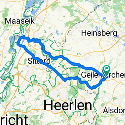
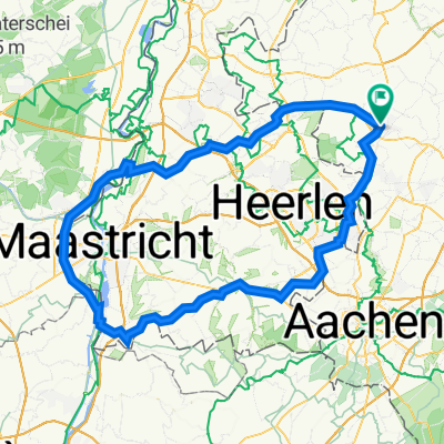
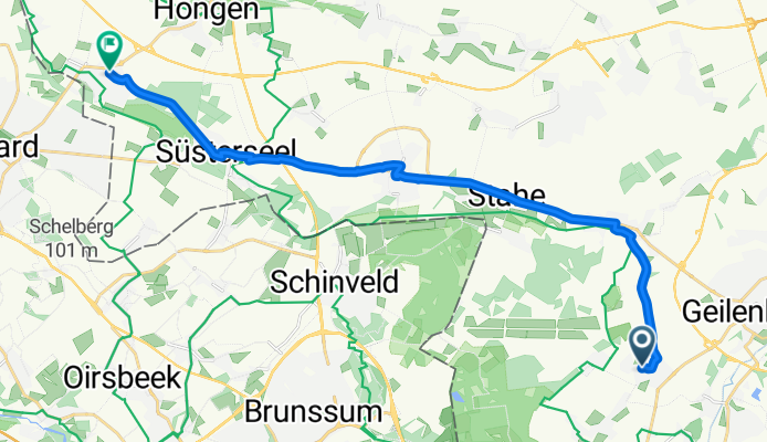
Töpferstraße nach Sittarder Straße
A cycling route starting in Geilenkirchen, North Rhine-Westphalia, Germany.
Overview
About this route
- 1 h 1 min
- Duration
- 17.8 km
- Distance
- 43 m
- Ascent
- 86 m
- Descent
- 17.6 km/h
- Avg. speed
- 101 m
- Max. altitude
Route quality
Waytypes & surfaces along the route
Waytypes
Path
12.4 km
(70 %)
Quiet road
2.8 km
(16 %)
Surfaces
Paved
12.6 km
(71 %)
Asphalt
12.6 km
(71 %)
Undefined
5.1 km
(29 %)
Continue with Bikemap
Use, edit, or download this cycling route
You would like to ride Töpferstraße nach Sittarder Straße or customize it for your own trip? Here is what you can do with this Bikemap route:
Free features
- Save this route as favorite or in collections
- Copy & plan your own version of this route
- Sync your route with Garmin or Wahoo
Premium features
Free trial for 3 days, or one-time payment. More about Bikemap Premium.
- Navigate this route on iOS & Android
- Export a GPX / KML file of this route
- Create your custom printout (try it for free)
- Download this route for offline navigation
Discover more Premium features.
Get Bikemap PremiumFrom our community
Other popular routes starting in Geilenkirchen
Von Heinsberg bis Gangelt- Distance
- 51.1 km
- Ascent
- 131 m
- Descent
- 146 m
- Location
- Geilenkirchen, North Rhine-Westphalia, Germany
Deutschlandtour 2015_4. Tag- Distance
- 157.1 km
- Ascent
- 201 m
- Descent
- 256 m
- Location
- Geilenkirchen, North Rhine-Westphalia, Germany
NL, B, Selfkant- Distance
- 93.4 km
- Ascent
- 104 m
- Descent
- 120 m
- Location
- Geilenkirchen, North Rhine-Westphalia, Germany
Radeln für die Seele. Zipfeltour- Distance
- 69.1 km
- Ascent
- 233 m
- Descent
- 224 m
- Location
- Geilenkirchen, North Rhine-Westphalia, Germany
Töpferstraße nach Sittarder Straße- Distance
- 17.8 km
- Ascent
- 43 m
- Descent
- 86 m
- Location
- Geilenkirchen, North Rhine-Westphalia, Germany
Route der Wingerter und Sabinerinnen- Distance
- 234.9 km
- Ascent
- 435 m
- Descent
- 470 m
- Location
- Geilenkirchen, North Rhine-Westphalia, Germany
Steady ride in Geilenkirchen- Distance
- 8.1 km
- Ascent
- 85 m
- Descent
- 86 m
- Location
- Geilenkirchen, North Rhine-Westphalia, Germany
Zwischen Maas und Wurm- Distance
- 101.8 km
- Ascent
- 205 m
- Descent
- 205 m
- Location
- Geilenkirchen, North Rhine-Westphalia, Germany
Open it in the app

